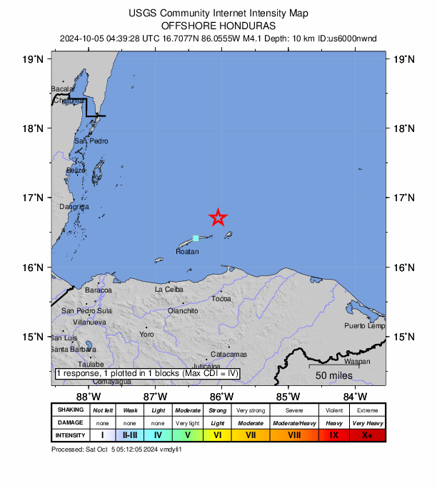
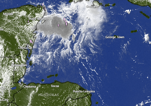
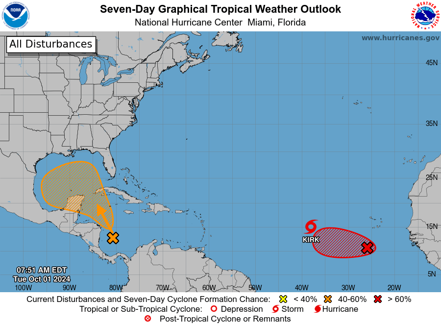
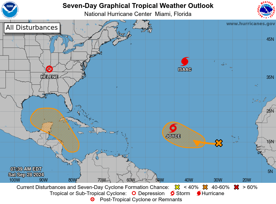
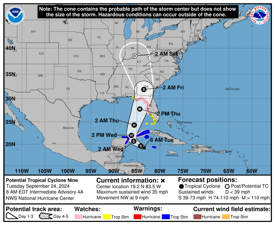
Good morning Bay Islands. No photo of the day today because we are watching a lot of activity. Hurricane Milton is about 500 miles to our northwest, but it is packing a punch and pushing our winds from the west around 15-20 mph and seas north and west sides around 4 feet. We will continue to have those winds and seas through tomorrow. After that they should get calmer again.
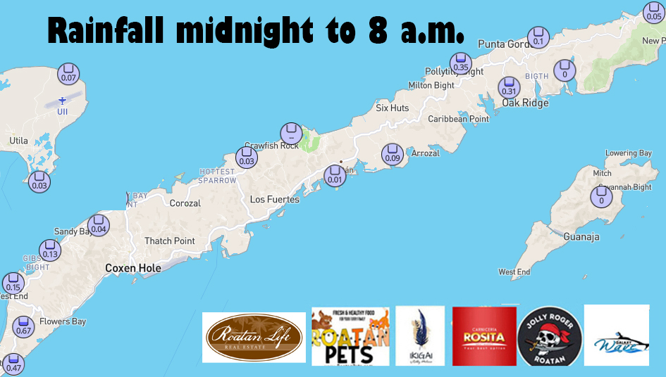
As for rain, I think there is a pretty good chance for storms tonight as Milton drags a lot of moisture behind it as it rides a cold front. The cold front will not get this far south, but it will pull in a lot of moisture. We will have daytime rain chances around 40 percent and nighttime chances around 60 percent through Saturday.
Sunday through Tuesday look even rainier as we get a second cold front. All of this should cool our temperatures into the mid 80s for highs and upper 70s for lows.
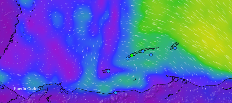
This is the GFS forecast for moisture in the atmosphere. You can see our cold fronts are pushing a lot of moisture over us, giving us good chances of rain throughout the forecast. What is interesting here is you can see a forecast for a spinning system to emerge from the Mosquito Coast around the 18th or 19th.
This is the GFS vorticity forecast, which is like an Xray of the atmosphere. You can see the forecast for some sort of tropical system to emerge from all this moisture around 11 days from now. Eleven days is a long time and these forecasts are very unreliable that far out, but there is definitely the potential for a LOT of rain over the next two weeks and also the potential for some sort of storm to spin up during this time period. We’ll keep an eye on it.

I got an exciting message from Mitch Cummins over at Roatan Pets the other day. He is now cooking up two recipes of cat food — chicken and fish. Your feline friend will thank you for letting him sample it.
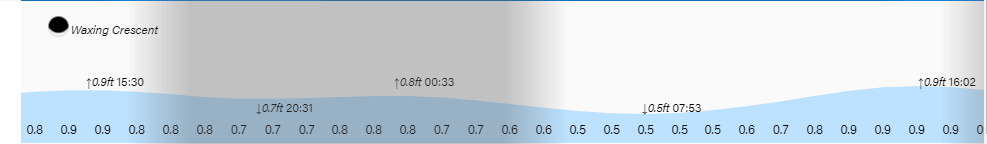
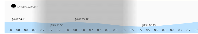
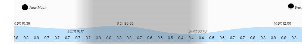
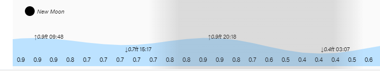
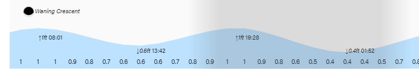
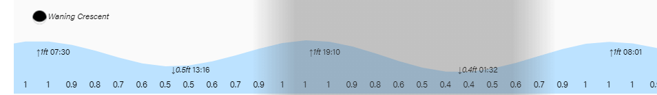
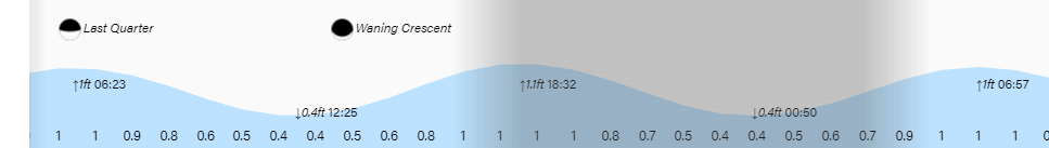
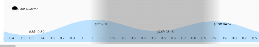
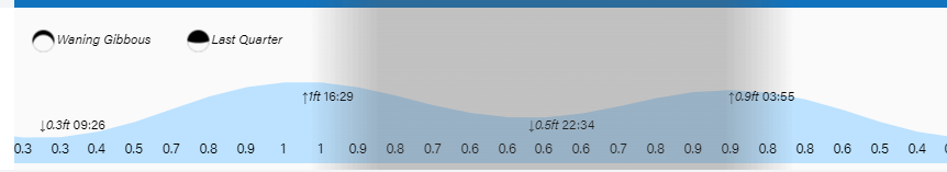
Low tides continue to be unusually high. Have a great Tuesday!