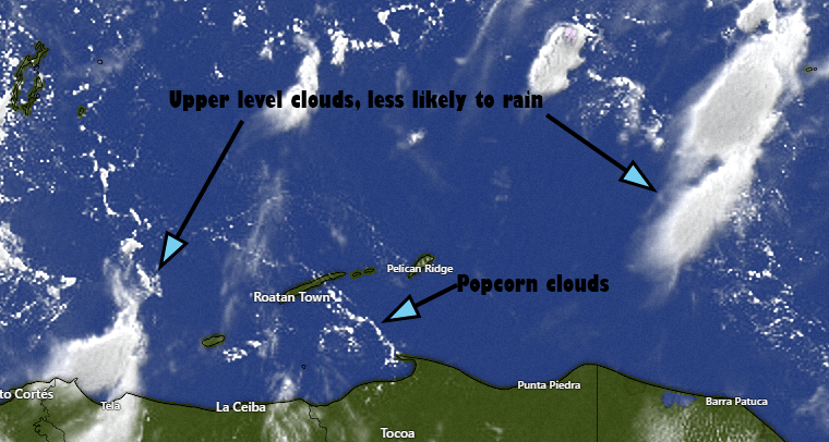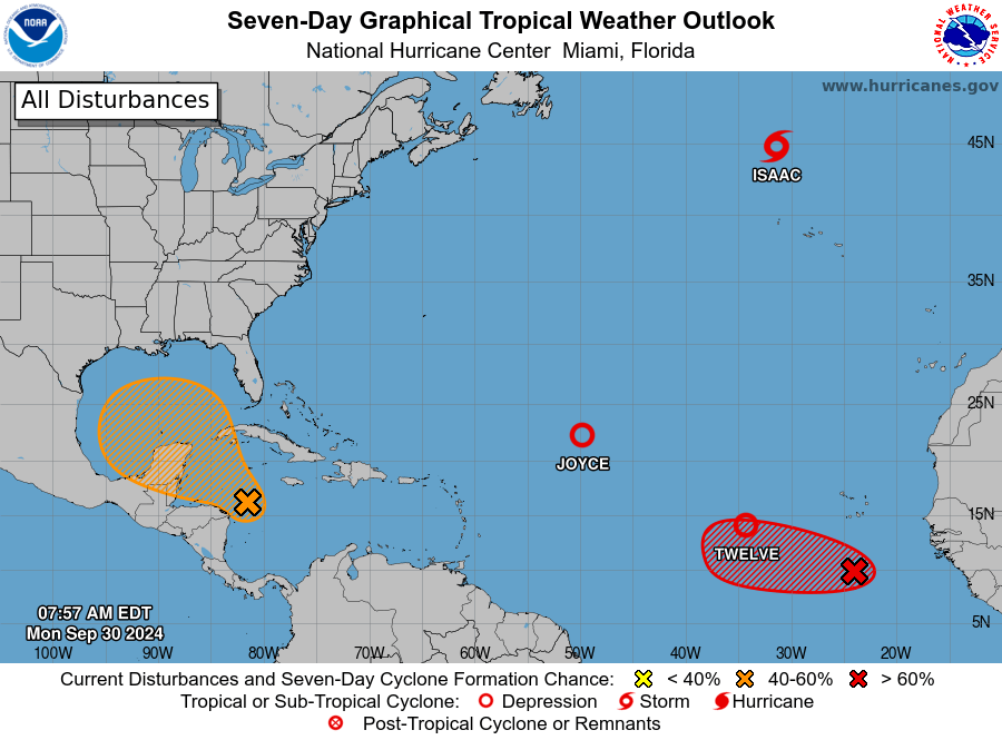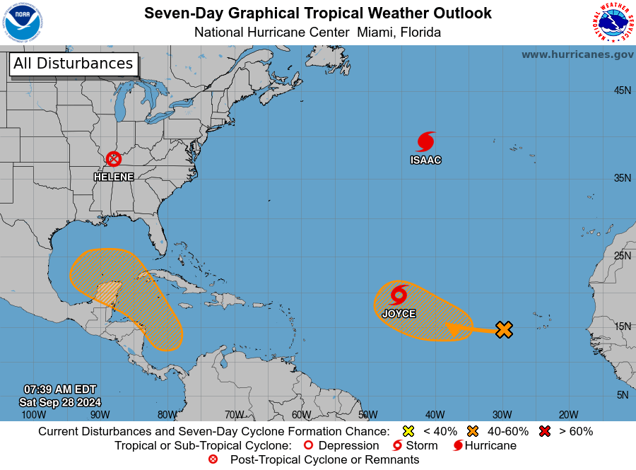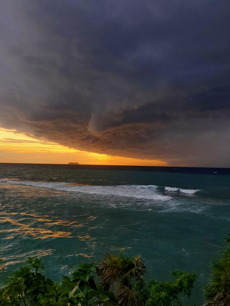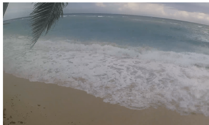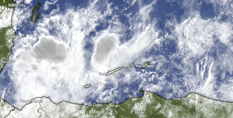
Good morning Bay Islands. Our photo of the day comes from Matt Harper and shows some cirrus clouds. These high, wispy clouds usually mean fair weather, but when there are a lot of them, it can mean a cold front is on the way. We are waiting for a cold front and also the effects of Hurricane Milton, which will bring us westerly winds and increased chances of rain. We’re also looking at a possible storm Sunday or Monday of next week.
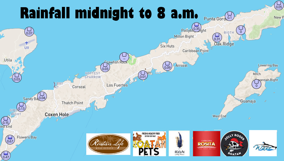
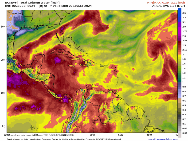
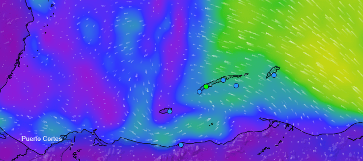
Today we will have a nice day, with light and variable winds, fairly calm seas and mostly clear skies. Starting tonight we will have increased rain chances, around 70 percent each night, with west winds 15-20 mph and seas 3-4 feet especially north and west sides. We will have about a 40 percent chance of daytime showers Tuesday through Thursday.
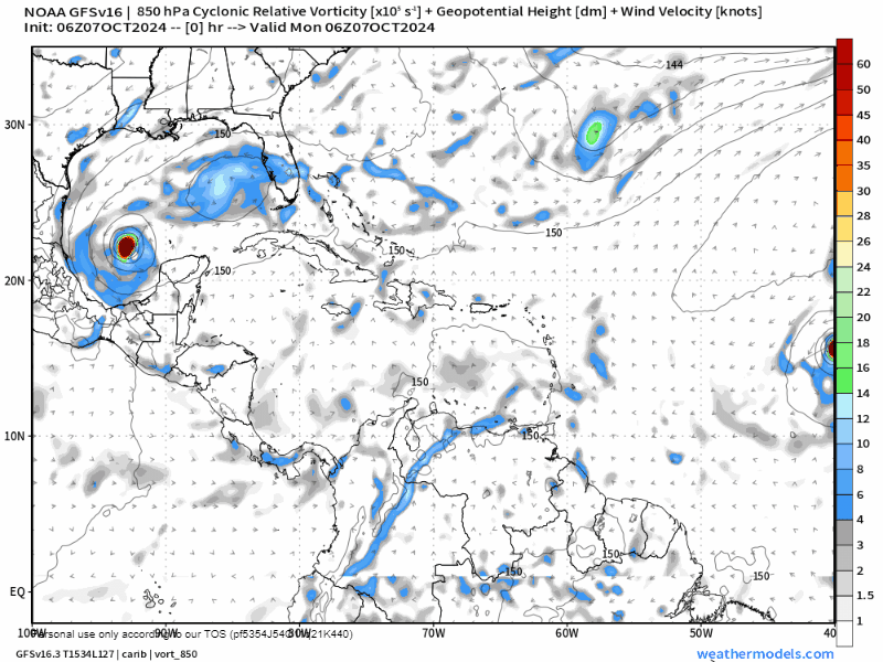
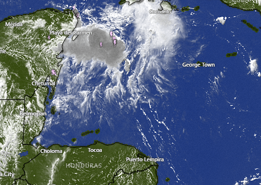
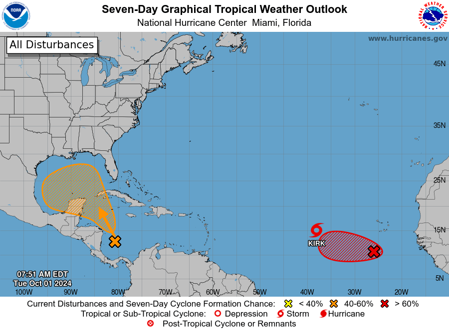
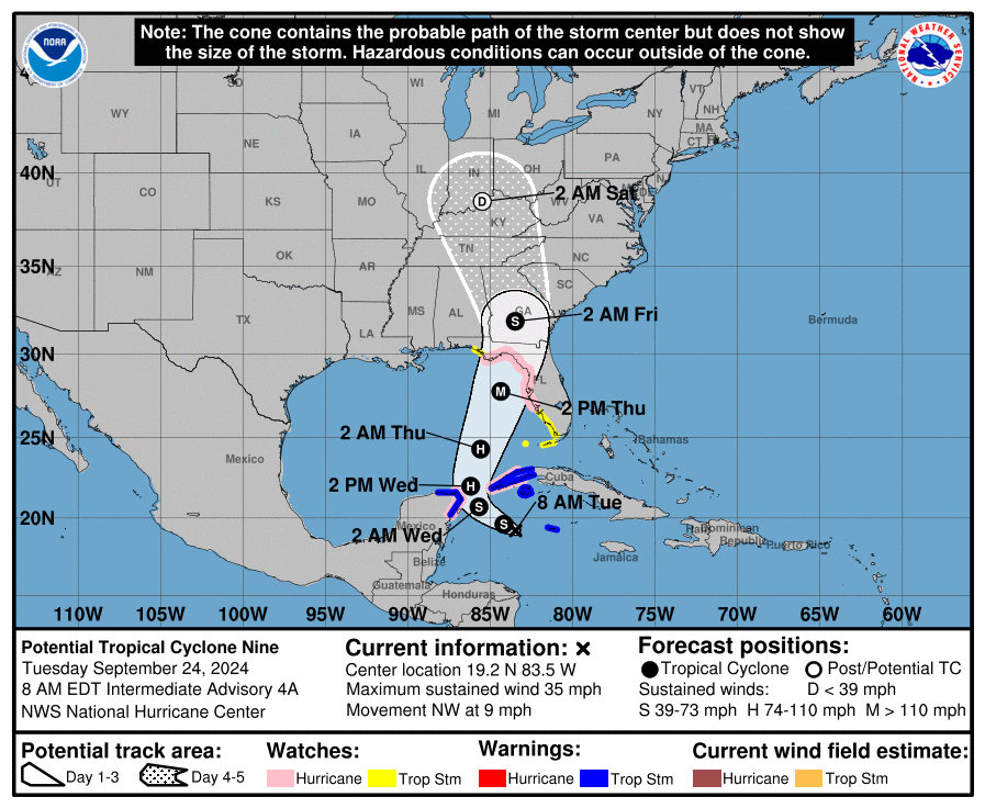
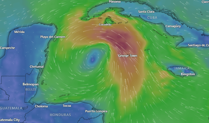
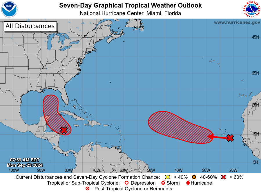
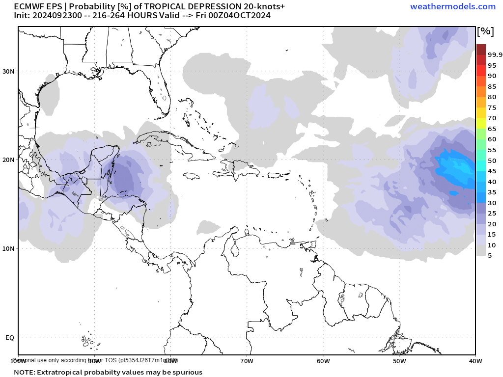
After that our eyes turn to what will happen this weekend through Monday. The GFS is forecasting a storm to form over us Sunday into Monday that turns into another hurricane for Florida to worry about.
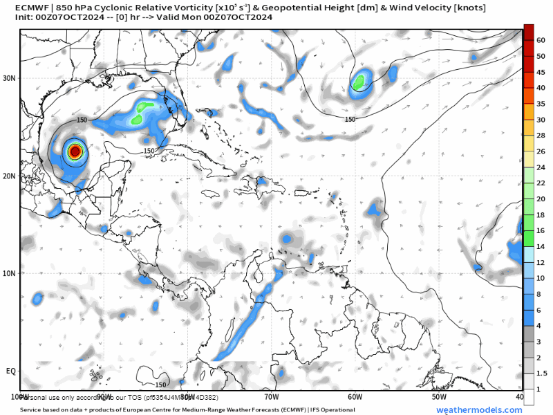
The Euro model doesn’t turn it into a hurricane, but still has a tropical wave giving us lots of rain this weekend into Monday. We’ll keep an eye on it.

want to take a moment to note all the good work that Roatan Operation Animal Rescue does on the island for the underserved pets of our communities.

If you, like me, have seen an animal that you had to turn your eyes away from because it was in such bad shape, please know that Roatan Operation Animal Rescue deals with these pets on a daily basis. Please consider making a small contribution to help close the funding gap for these furry friends. Also consider purchasing Roatan Pets food, which donates 10 percent of proceeds.
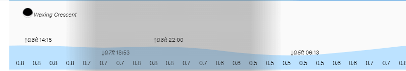
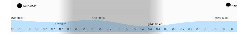
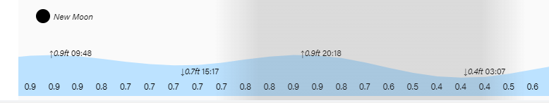
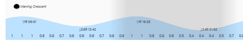
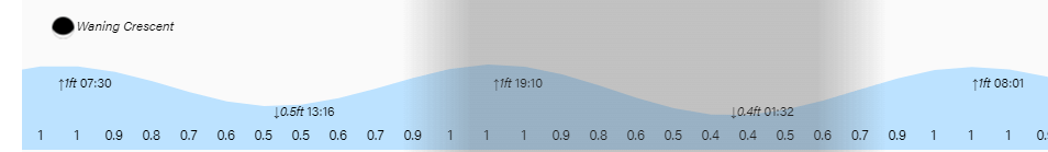
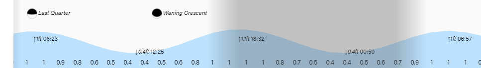
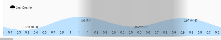
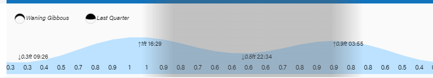
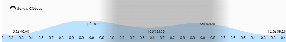
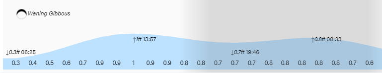
Tides continue to be mild. Have a great week!