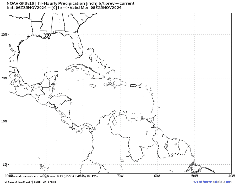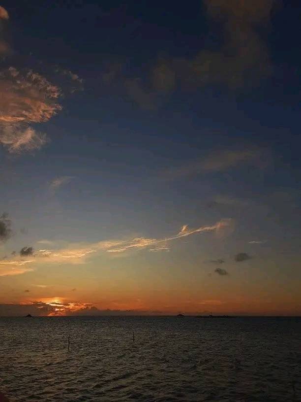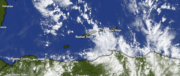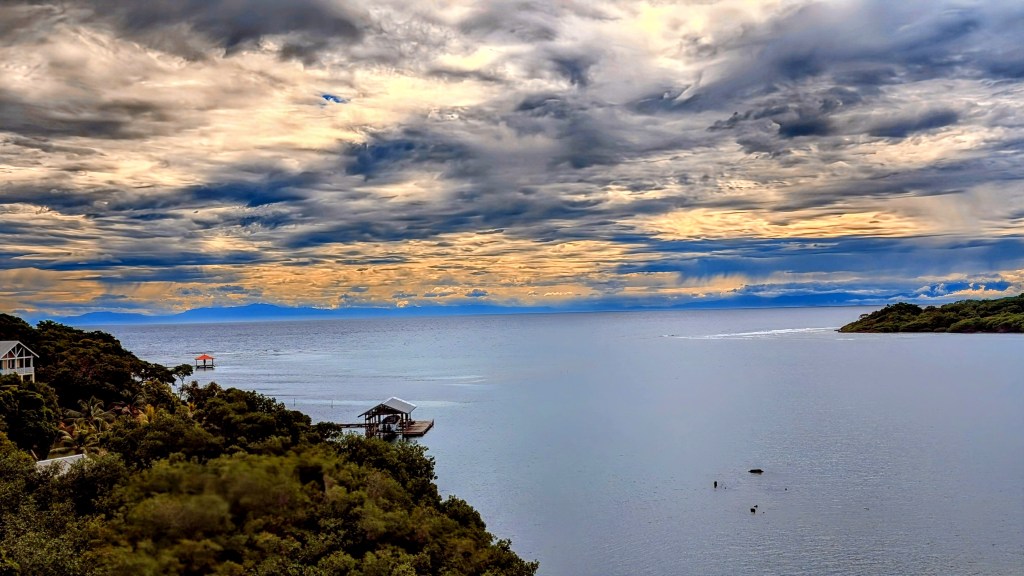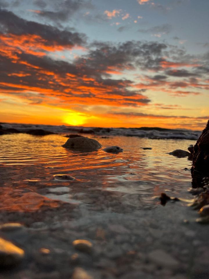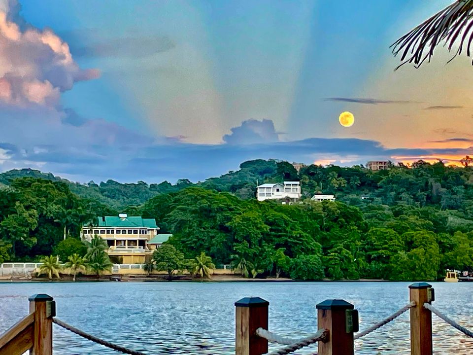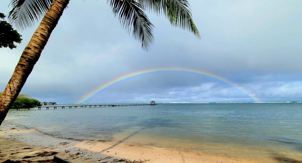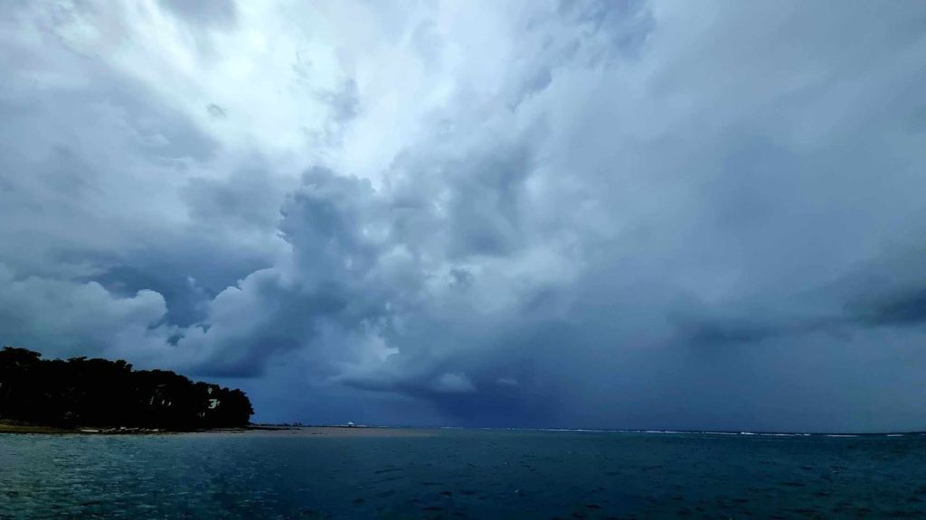
Good morning Bay Islands. It is unusual to get a really good rainy day photo. This morning’s photo comes from Guido Bertea and shows a nice downpour over Sandy Bay. Yesterday we got 4-5 inches in Utila, 2 inches in West Bay, but less the further east you went. This morning, however, we’ve gotten around a quarter of an inch in most locations midisland and east by 7:30 a.m. We will keep a few scattered showers but also some sun today and hopefully drier tomorrow and Friday.
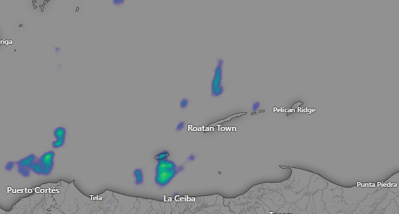
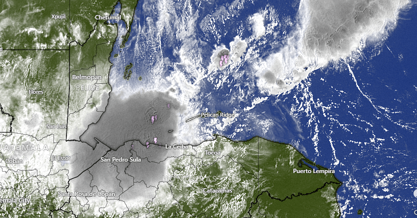
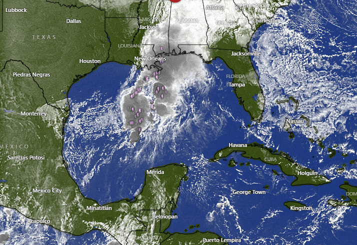
On radar we see our morning showers that are drifting southwest at 7:30 a.m. We will keep partly to mostly cloudy skies today and scattered showers. Tomorrow and Friday we will have only a small chance of seeing a shower and hopefully most of us can dry out.
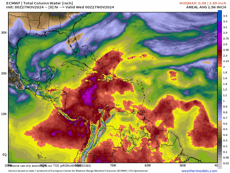
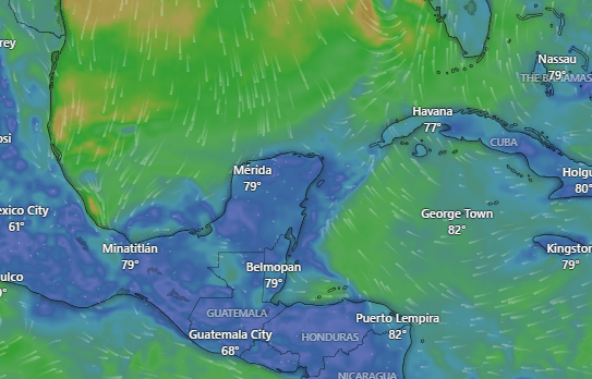
For the weekend and next week the forecast is going to be difficult because we are on the boundary of some drier air to the north and moist air to the south. Some days we will be on the moist side and get rain and some days we will be on the dry side, it is just going to be hard to tell when. Yesterday the models were giving us a tropical system next week, but today they have backed off on that prediction.
Wind and Galaxy Wave forecast: We wake up to north winds at 15 mph and seas at 4 feet. Those should calm during the day to 10 mph and 3 feet. Thursday looks like the calmest day with light and variable winds and 2 foot seas. Winds pick up Friday to 10 mph from the northwest and seas 2-3 feet and over the weekend we will have north winds 10-15 mph and seas around 3 feet.
If you are planning a trip or cruise to the island, don’t let rainy forecasts scare you off. Usually there are periods of dry weather and even sun and the rainy periods will be time to sit back and have a cool drink on the catamaran during your tour with Jolly Roger Roatan.
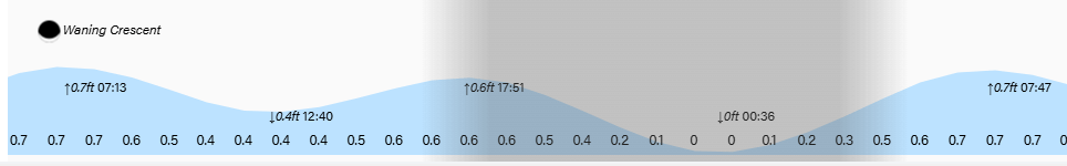
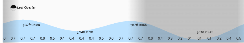
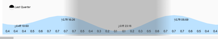
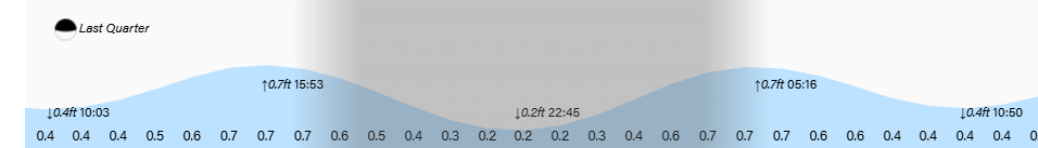
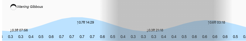
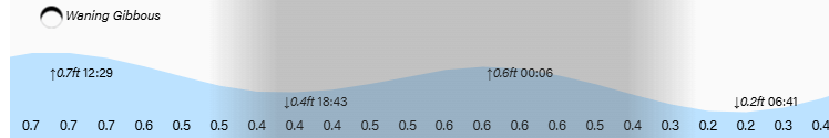
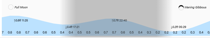
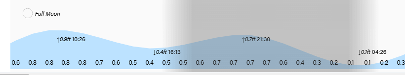
Lowest tide is just after midnight. Have a great Wednesday!