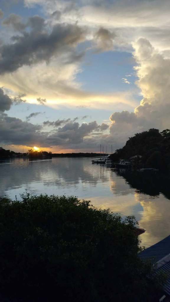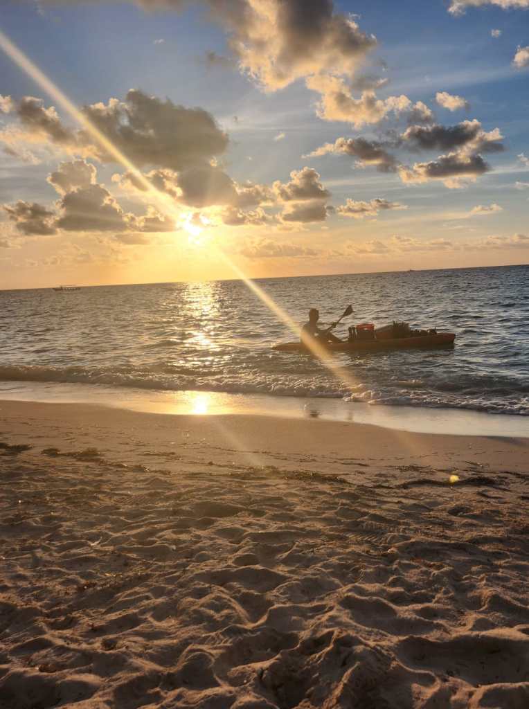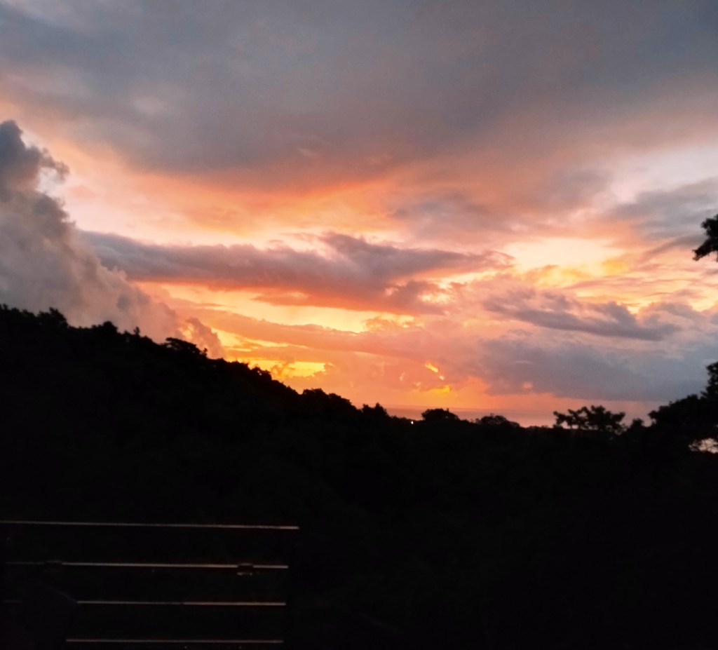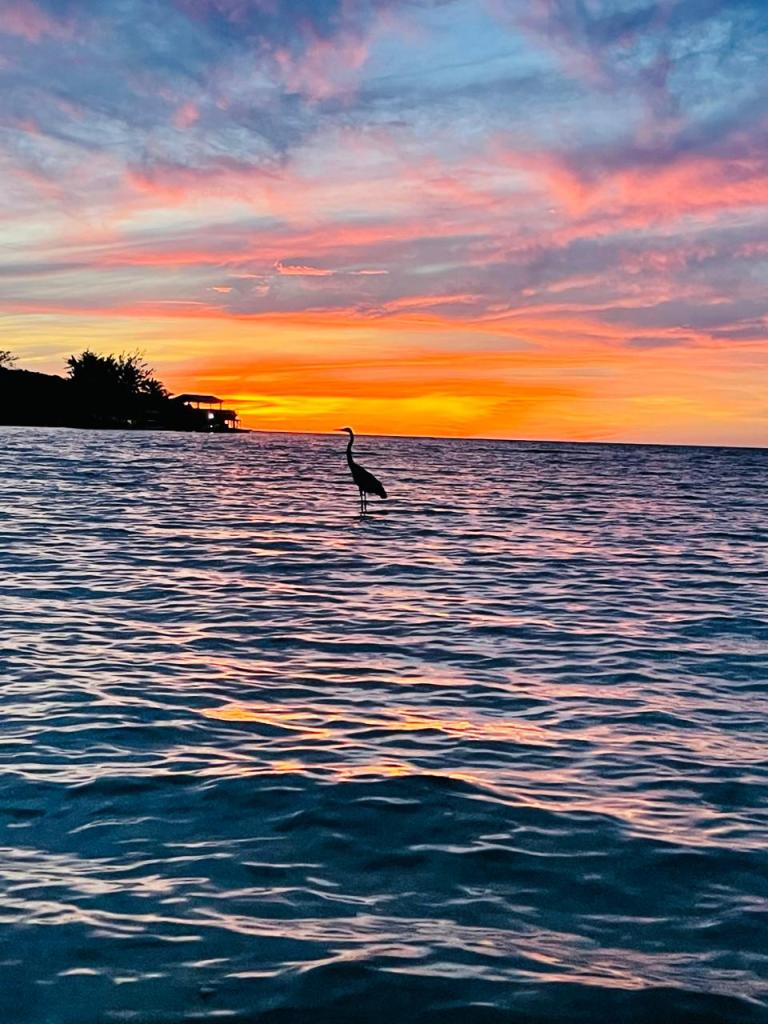
Good morning Bay Islands. Our photo of the day comes from Angela Lopez over in Calabash and shows a heron at sunrise.
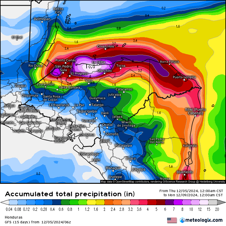
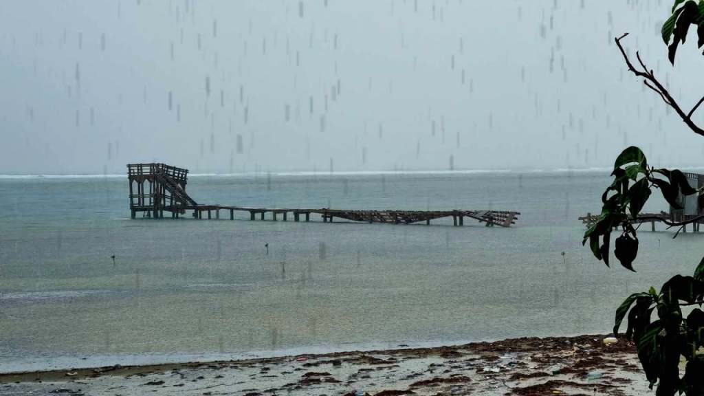
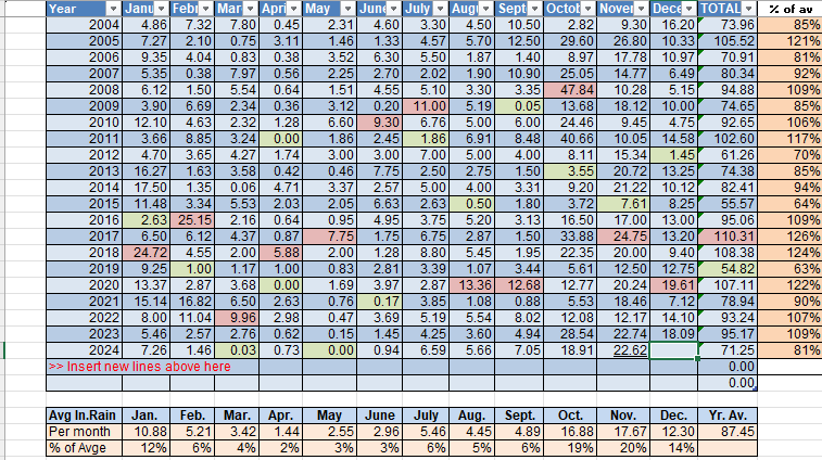
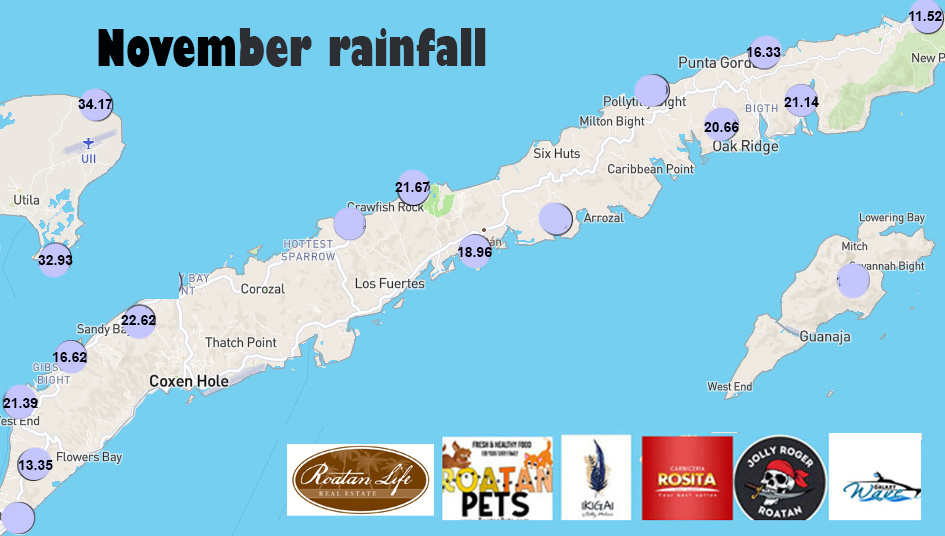
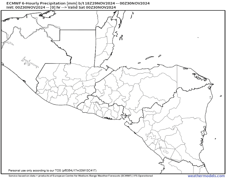
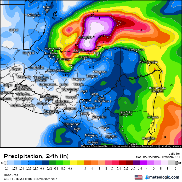
Most of us have gotten between a quarter and half an inch this morning after about the same amount yesterday, though Guanaja got 1.5 inches yesterday and Utila got 2+ inches. Things look to be rainy today, but perhaps we catch a break tomorrow.
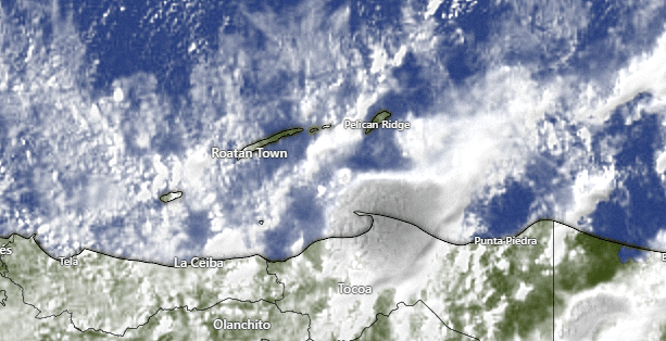
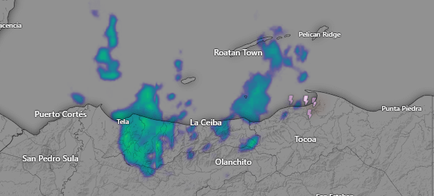
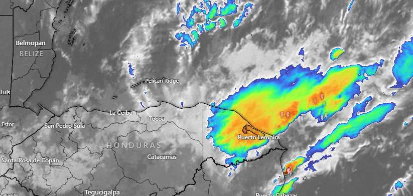
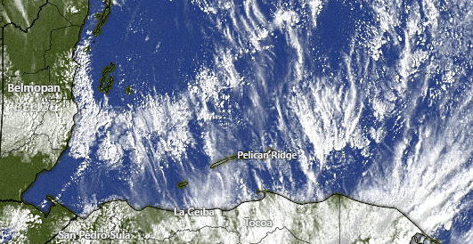
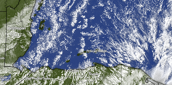
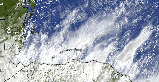
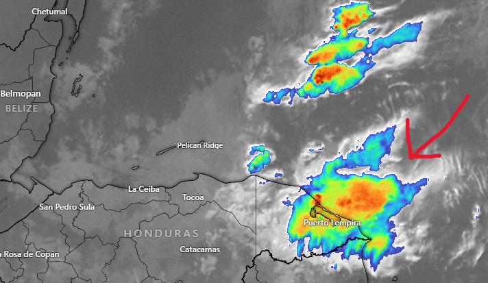
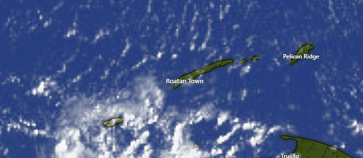
The satellite at 7:30 a.m. shows lots of clouds, but also areas of blue sky, especially for east Roatan. But we can also see a storm building over Trujillo on the mainland. The models say we should get more clouds and rain midday and early afternoon.
The Euro keeps rain around tomorrow, but the GFS says that most of the rain should be south of us tomorrow. I’m going to go out on a limb and say tomorrow will be less rainy than today. Tuesday and Wednesday morning look decent, but then Wednesday evening into Thursday we get another norther, with rain and north winds.
Wind and Galaxy Wave forecast: We continue to have northeast winds 15 mph and seas 4 feet. We will stay around there today and tomorrow.
Monday winds calm to 10 mph and turn to the east and seas 3-4 feet.
Tuesday we will have 10 mph east winds and seas 2-3 feet.
Wednesday and Thursday look fairly calm.
The windiest day with this norther will be Friday with north/northeast winds 10-20 mph and seas around 5 feet.
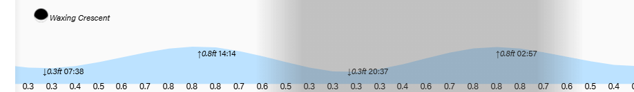
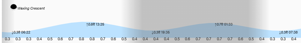
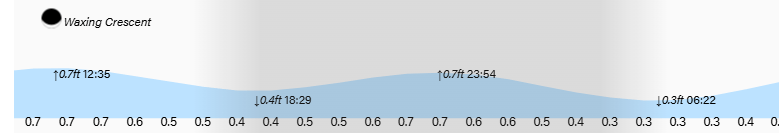
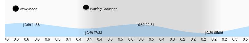
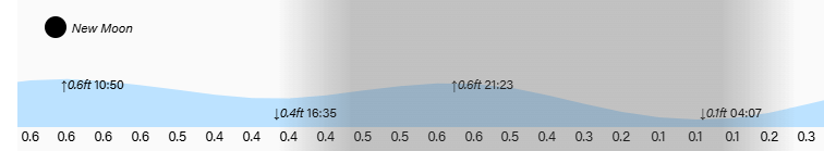
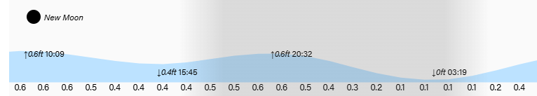
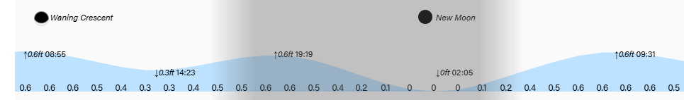
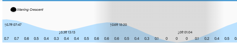
Tides continue to be mild. Have a great weekend!