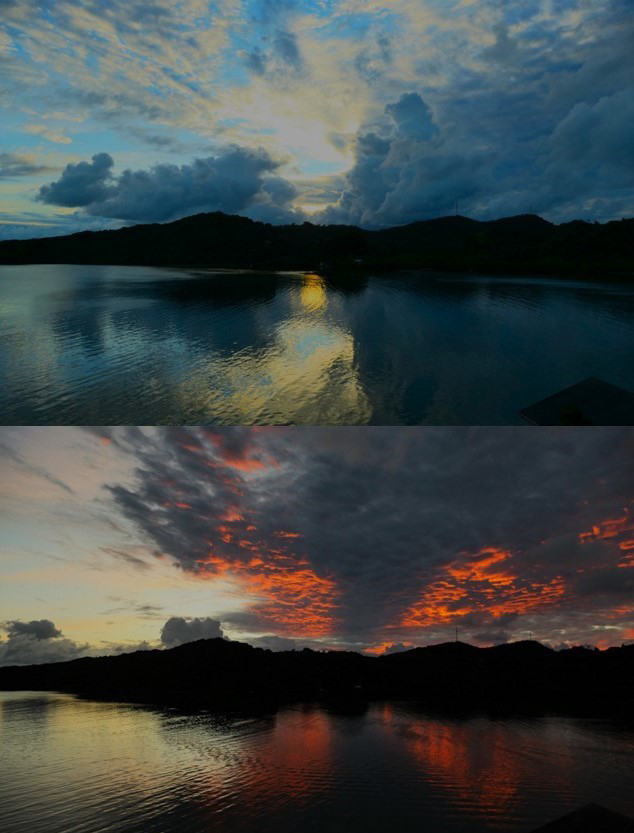
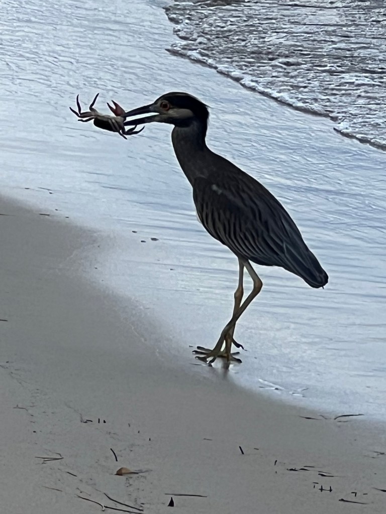
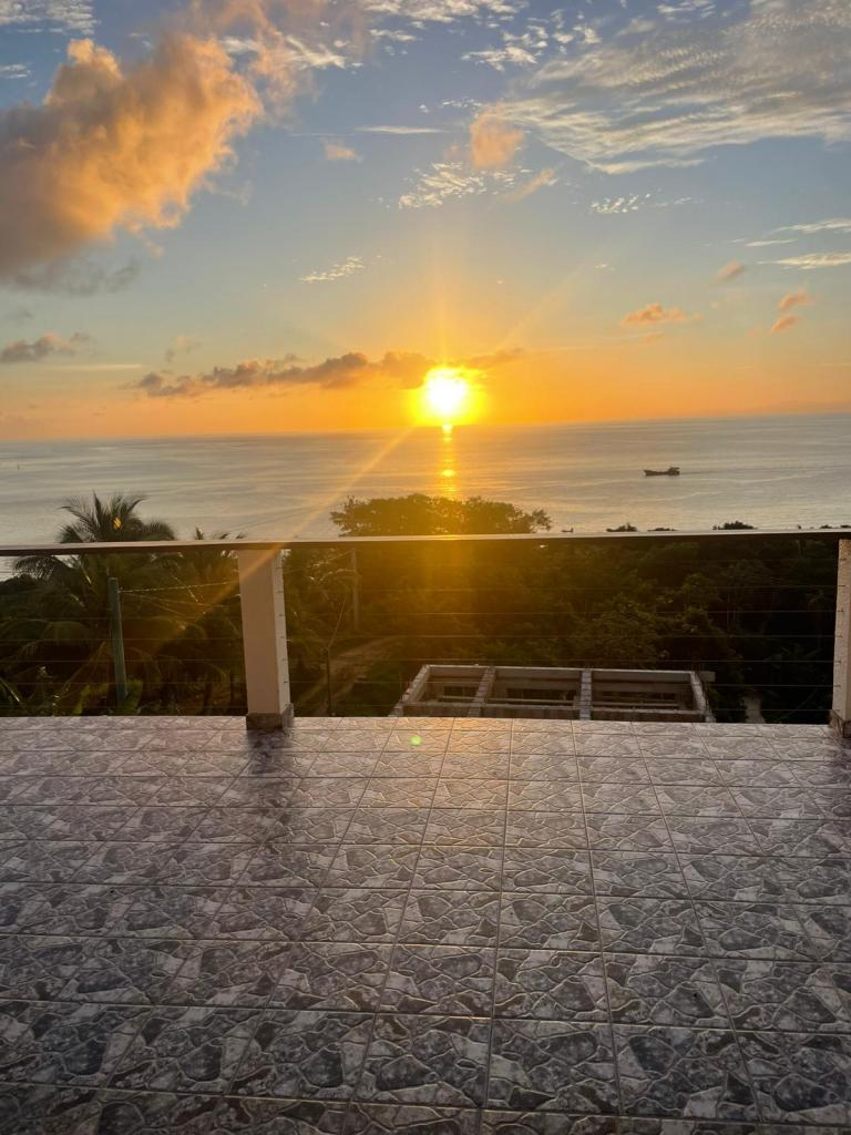
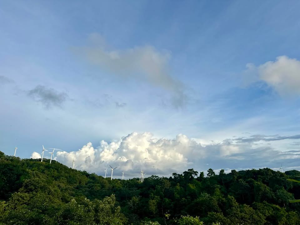
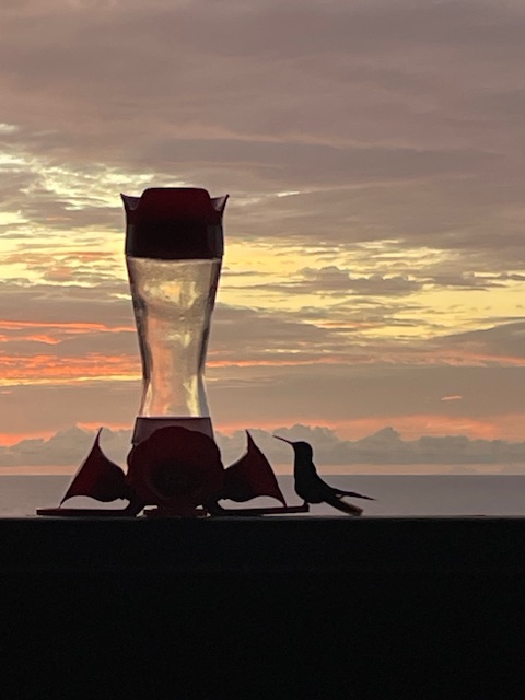
Good morning Bay Islands. I have been through this mangrove gate on the way to Calabash Bight many times. This photo of the day was submitted by Ruben Nava.
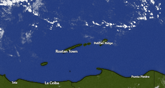
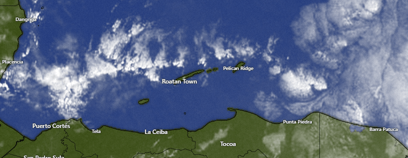
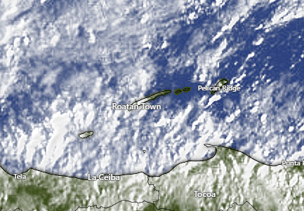
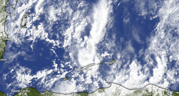
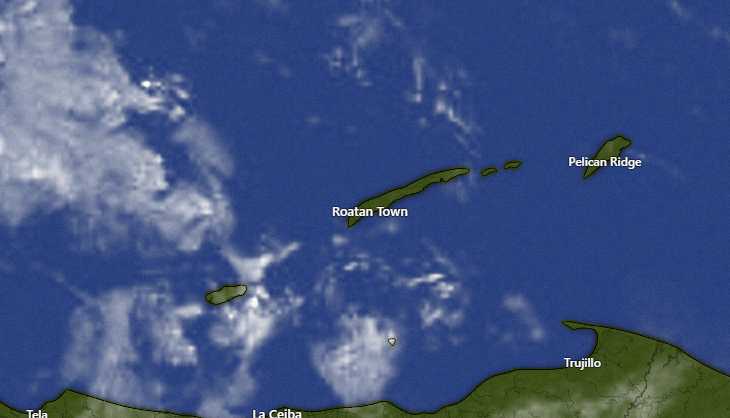
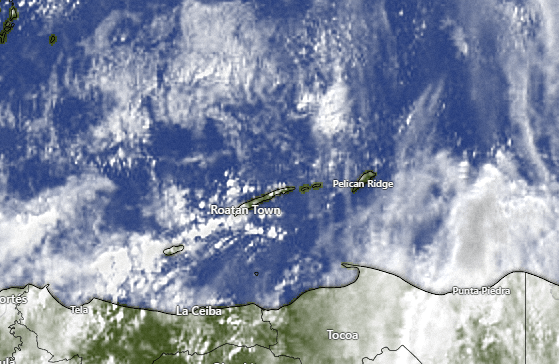
This morning we have mostly clear skies. We will have partly cloudy skies today and very little chance of rain. Tonight into tomorrow morning and tomorrow night into Thursday morning we should have a better change of rain with our VERY weak norther.
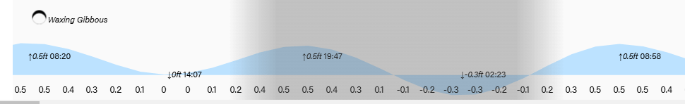
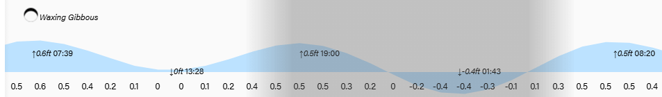
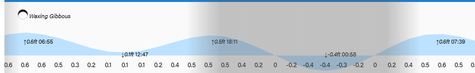
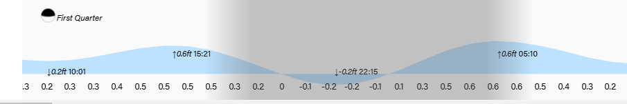
Wind and Galaxy Wave forecast. We wake up to east winds 10-15 mph and seas around 3 feet. This afternoon we should calm to 10 mph and 2 feet.
Tomorrow winds turn to the northeast at 10 mph and seas about 2 feet.
Thursday winds will be nearly calm and seas 1-2 feet. The weekend should bring easterly trade winds 10-15 mph and 3-4 foot seas especially on the south side
Have a great Tuesday!