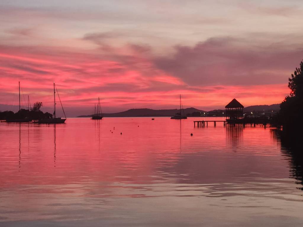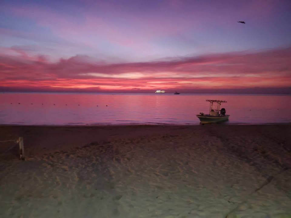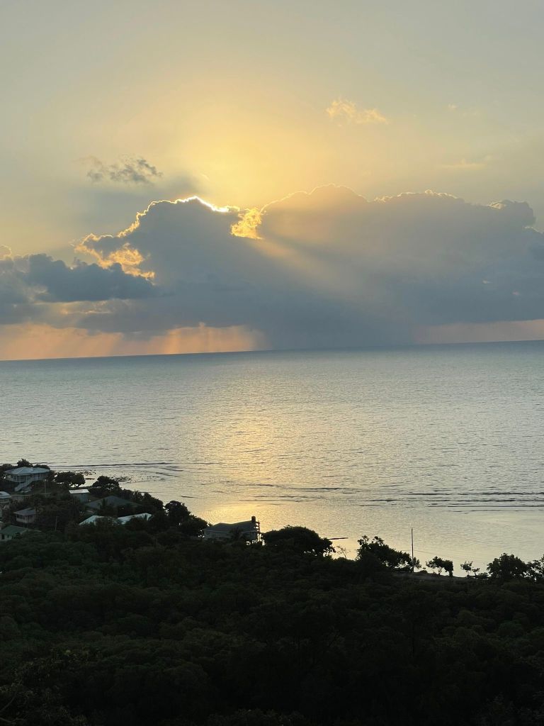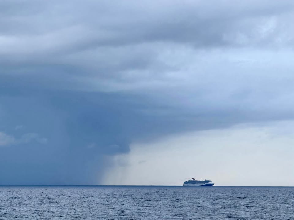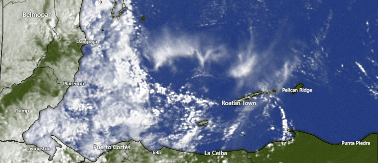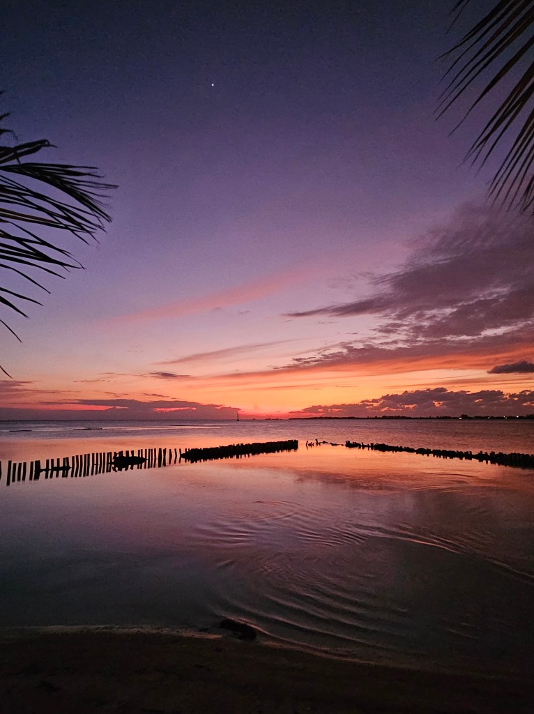
Good morning Bay Islands. Our photo of the day comes from Corky Houseworth on Bando Beach in Utila. The last week has been quite a rainy one on Utila.
The island has gotten .6 as of 7:30 a.m. to go along with 2.7 inches yesterday. In fact Utila has picked up 15 inches in the last week! 😳
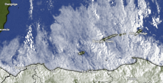
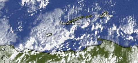
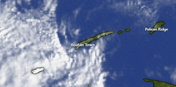
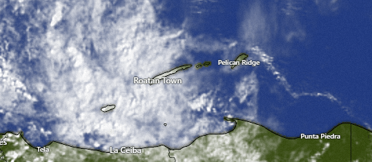
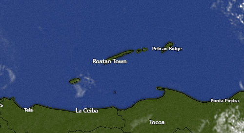
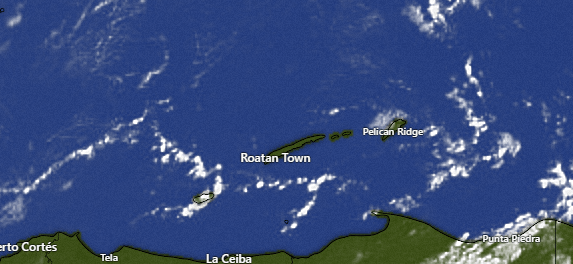
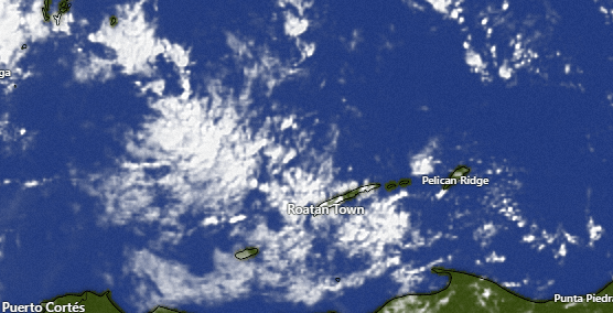
The big island has gotten some morning showers on the west side good for about a tenth of an inch. Yesterday most of us saw on-and-off showers but got less than an inch.
Utila will NOT be getting 15 inches in the next week.
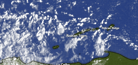
At 7:30 a.m. we have some popcorn clouds here and there and perhaps a shower or two. All of this is moving to the west. As the day goes on we should get drier under partly cloudy skies. This week will be a cycle of some overnight and early morning showers and dry middays and afternoons.
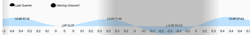
Wind and Galaxy Wave forecast: Our winds this morning are out of the northeast at 5-10 mph and seas around 3 feet. Today and tomorrow will be calm days with light and variable winds and seas 2-3 feet today and light easterly winds tomorrow and seas 1-2 feet.
Wednesday winds pick up to 10-15 mph from the east and seas 3 feet.
Thursday and Friday trade winds will be quite strong at 20-30 mph and seas 4-5 feet southside. They will calm a little for the weekend to 15-20 mph and seas 3 feet.

Explore Roatan real estate with the island’s top experts at Roatan Life Real Estate. Serving clients since 2001, we offer personalized guidance in buying and selling properties. Trust our dedicated team for unparalleled local knowledge. Start your journey at www.roatanlife.com.

I’m pleased to announce that the prize for the February photo contest is a $100 gift certificate to Prime 504 resto & bar. Keep sending those photos to bookmybio@gmail.com with name and location!
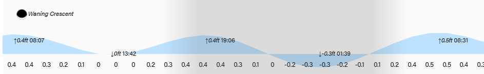
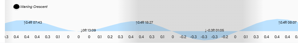
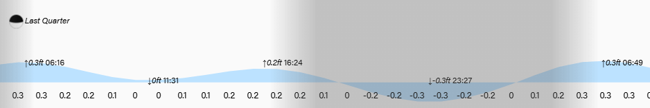
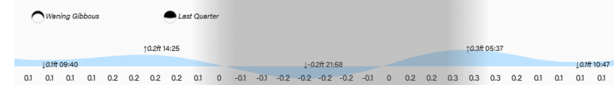
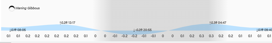
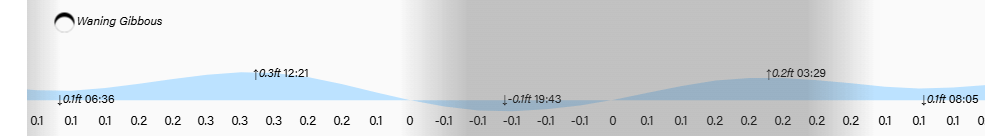
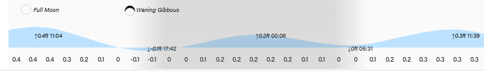
Low tides are 1:40 p.m. and 1:40 a.m. Have a great week!