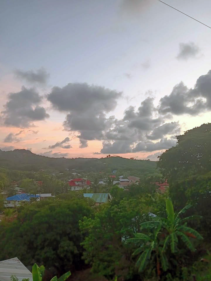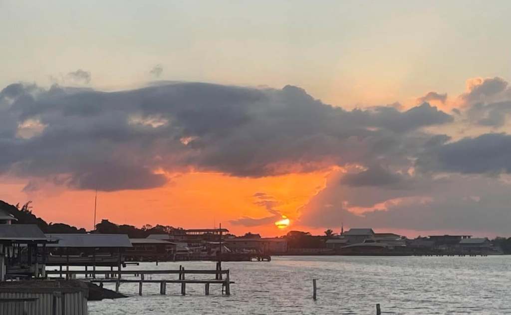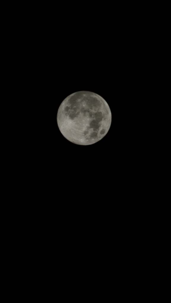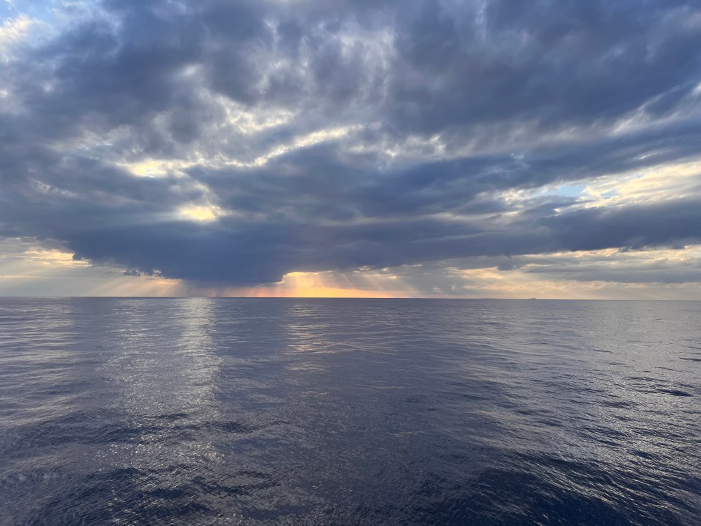
Good morning Bay Islands. Our photo of the day comes from Tabitha Trawick and was taken from the Galaxy Wave on its evening Ceiba to Roatan route. She caught a distant shower. It is a good reminder why evenings and mornings are good times for showers in the tropics. Warm air can hold more water than fresh air, so as the temperature falls, the amount of water it can hold decreases, so sometimes it wrings moisture out like a sponge.
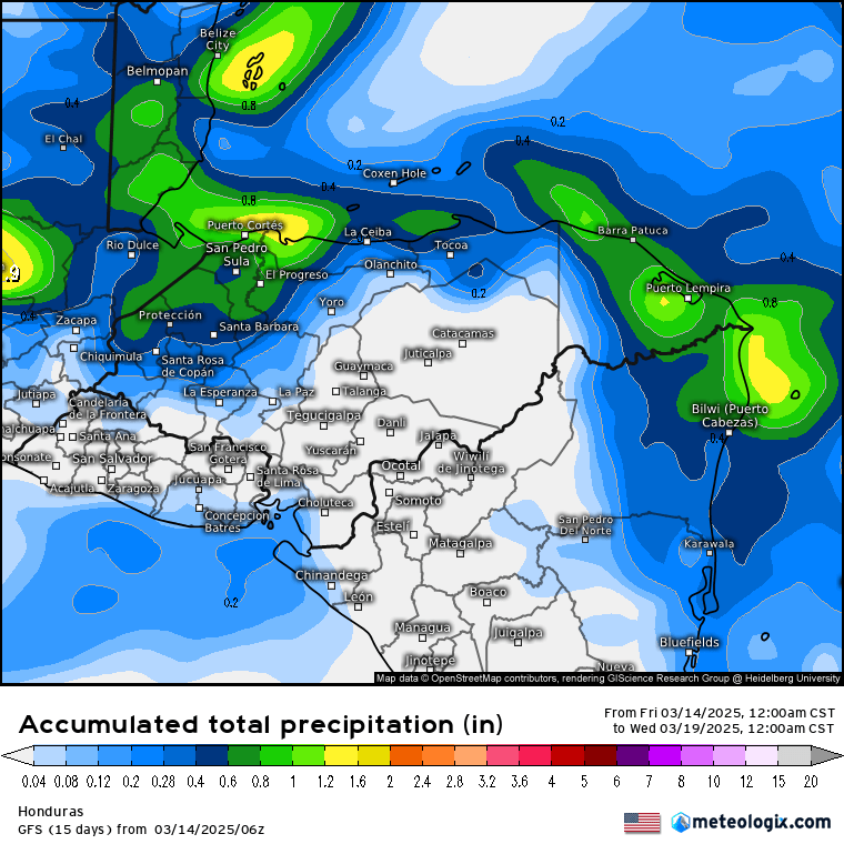
We had a few of these morning showers today — light ones in Sandy Bay and bit heavier, good for half an inch, toward Politilly and the east side. If you stayed dry, you have another chance tomorrow morning.
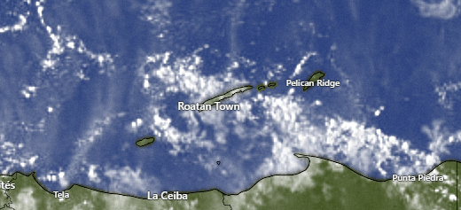
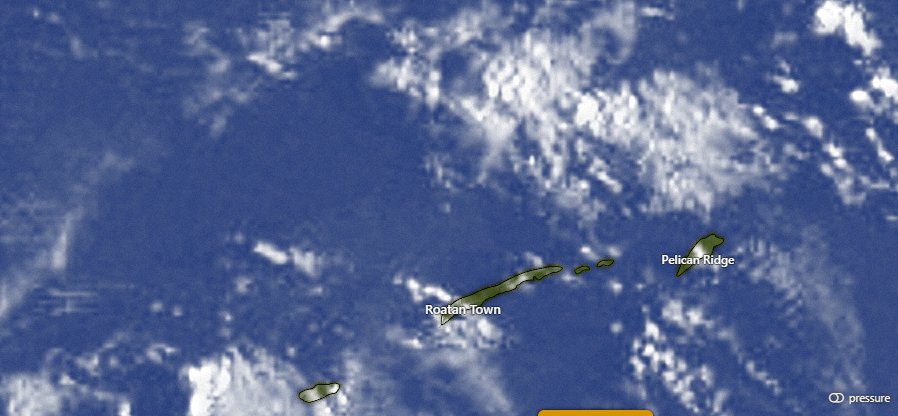
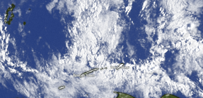
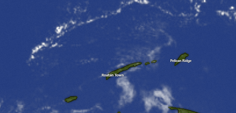
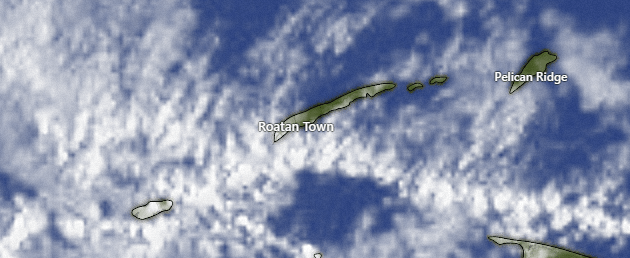
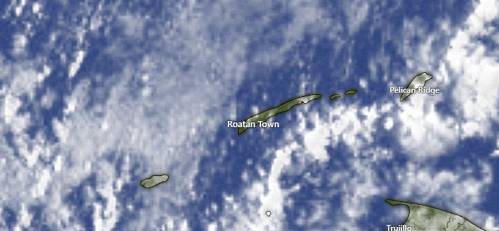
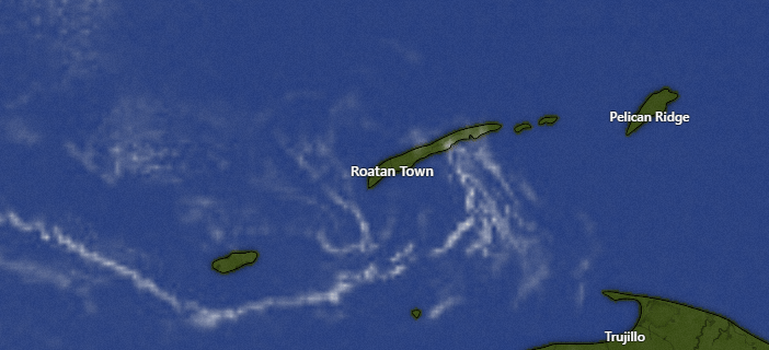
On satellite at 7:30 a.m. we can see the clouds moving from east to west over our islands. We will keep a chance of a morning shower around for the next couple of hours. Midday and afternoon should be dry and partly sunny. Tonight and tomorrow morning we will have another chance of rain, around 40 percent. If you don’t get rain today or tomorrow you may be dry for awhile. The forecast starting Friday, through the weekend into next week looks pretty dry.
Wind and Galaxy Wave forecast: We wake up to 15 mph east winds and seas around 3 feet. We will stay right around there today and tomorrow. Starting tomorrow night we will see the trade winds pick up, 22-27 mph and 5 foot seas at night and 15-20 mph and 3-4 foot seas daytimes.

I’m very excited to see Galaxy Wave offer a Wednesday route Roatan to Guanaja. This means that you can have three full days on Guanaja before returning on Sunday to Roatan. This is a great opportunity to see the hidden jewel of the Bay Islands.
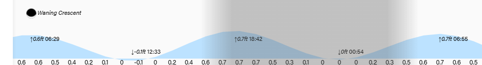
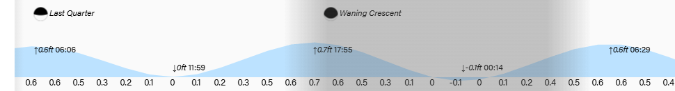
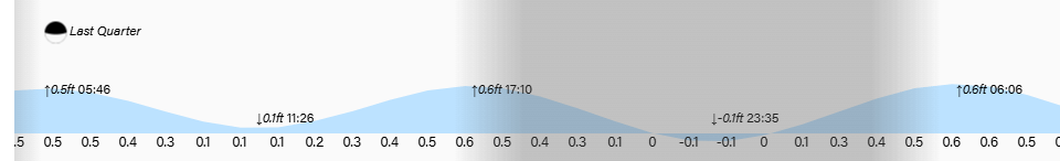
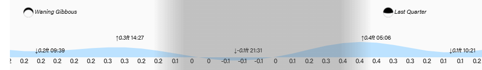
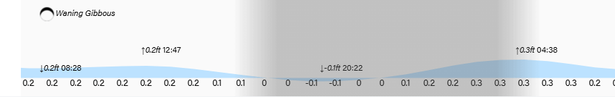
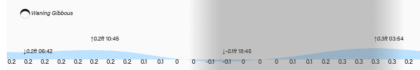
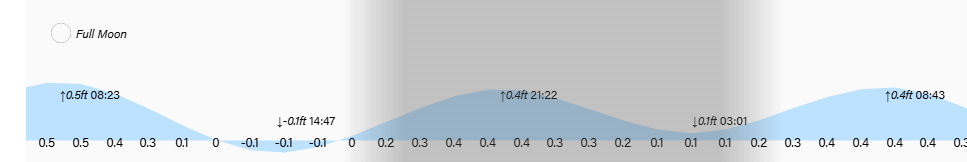
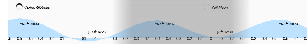
Low tides are 12:30 p.m. and 1 a.m. Have a great Wednesday!