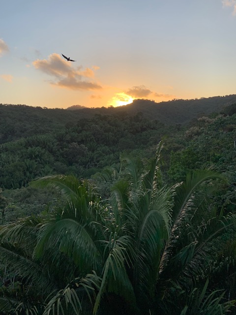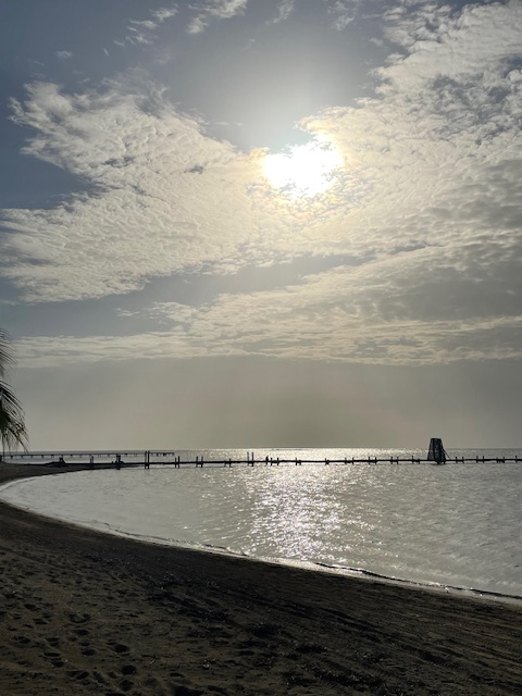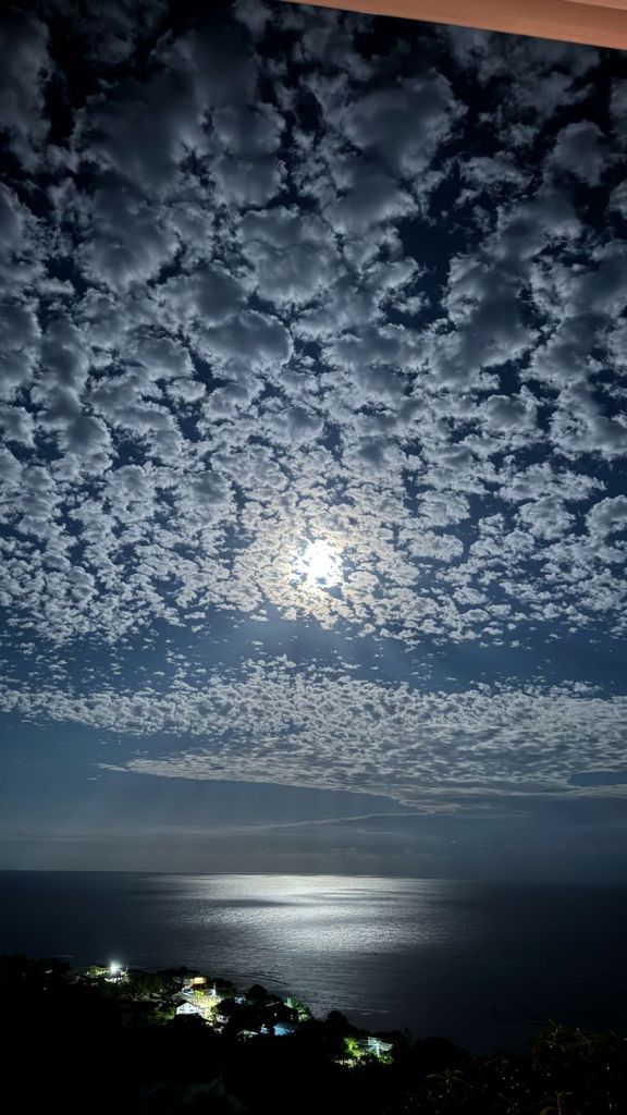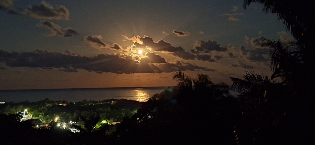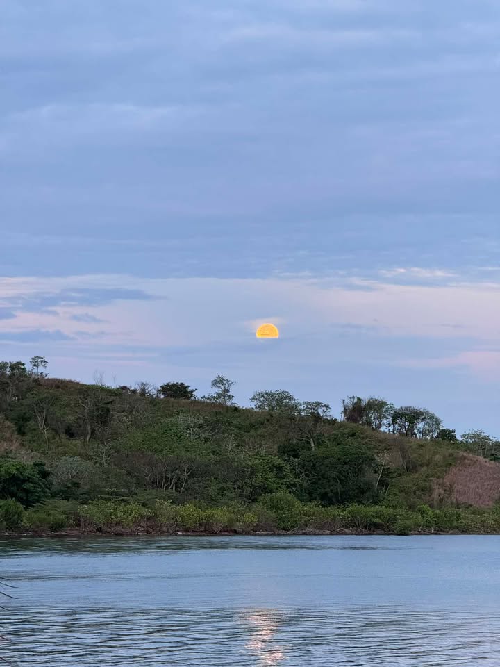
Good morning Bay Islands. Our photo of the day comes from Juan Carlos Caceres and shows a hazy moon setting over Politilly. We had lots of hazy photos late April into May last year when fires on the coast covered our skies.
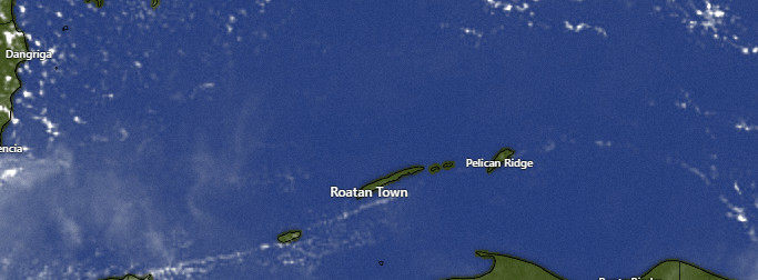
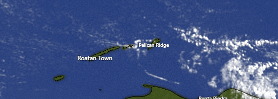
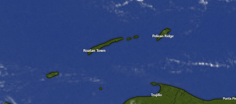
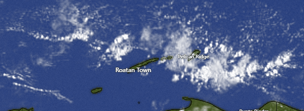
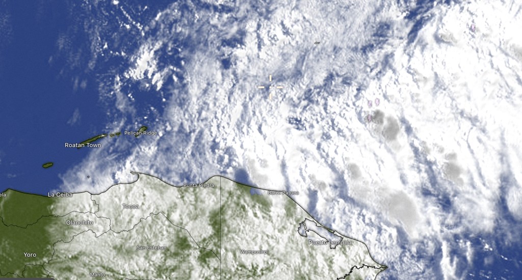
Our satellite this morning looks very blue, with only a few clouds around. We’re dry this morning, but starting tomorrow I wouldn’t be surprised to see a morning shower here or there. Any morning showers Sunday into next week won’t last long and middays and afternoons should be dry.
Wind and Galaxy Wave forecast: The main story this weekend is milder winds, coming from the east 5-10 mph and seas 1-2 feet. This will be a great weekend on the water. Starting Monday afternoon we’ll see the east winds get back to a more typical 15 mph and seas to 3 feet, where they’ll stay for much of next week.
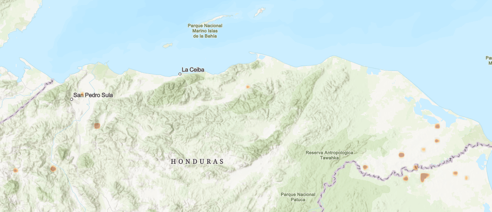
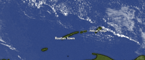
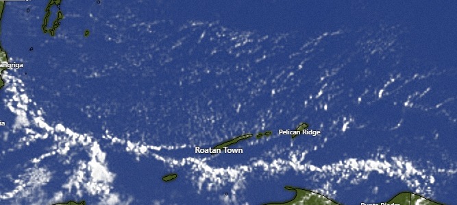
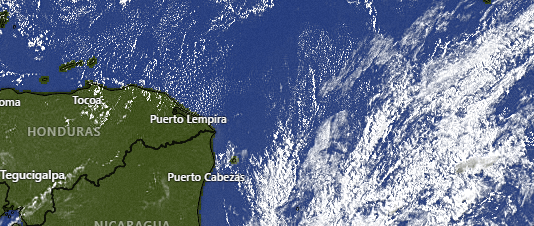
Our satellite image shows red dots that indicate fires, where mainland farmers are clearing sugar cane fields, especially on the east coast of Mosquitia. Last year this map was bright red. Of course last year was a serious drought season. This year we’ve had more rain and perhaps some of the farmers are waiting to burn until their fields dry out more. Hopefully we can get some scattered showers in to keep the smoke and fire down this year. All in all I don’t expect it to be as bad as last year, but don’t be surprised if you get some hazy mornings in early May.

If you’re looking for a great deal on the Roatan Ferry Galaxy Wave to La Ceiba and you’re on the east side, run over the Jafet’s store in Oakridge, Minisuper La Fe in Punta Gorda or Casa Blanca in Pandy Town and get a round trip ticket good Friday through Sunday for 1000 lempira.
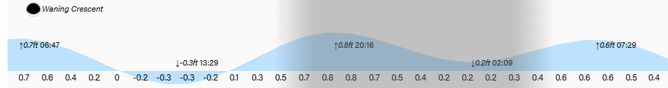
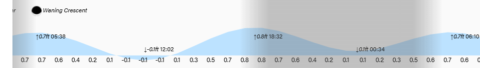
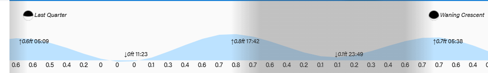
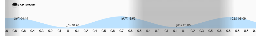
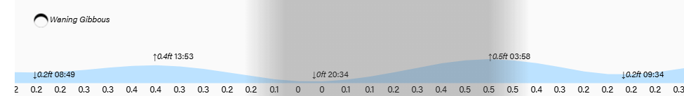
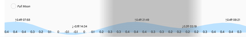
The tide gets pretty low at 1:30 p.m. Have a great weekend!