Nov. 4, 2021: Good morning, Roatan! This morning the west side of the island got rain — half an inch in West Bay, .87 at SOL in Sandy Bay, .92 at Casa Mariposa Azul in Sandy Bay, but only small amounts further east.
I know all of this thanks to Claro, and no thanks to Max which has been out for 14 HOURS! Their only response has been “the node in the sector has been affected,” whatever that means.
We’ll have a chance of rain today, mostly in the morning under partly cloudy skies. Winds will be from the west today at 7-12 mph and seas at 1-2 feet (.3 to .6 meters).
Tonight and tomorrow morning we’ll have another good chance of rain. Tomorrow the winds will be from the north/northwest at 10-15 mph and seas at 2-3 feet (.6 to 1 meter).
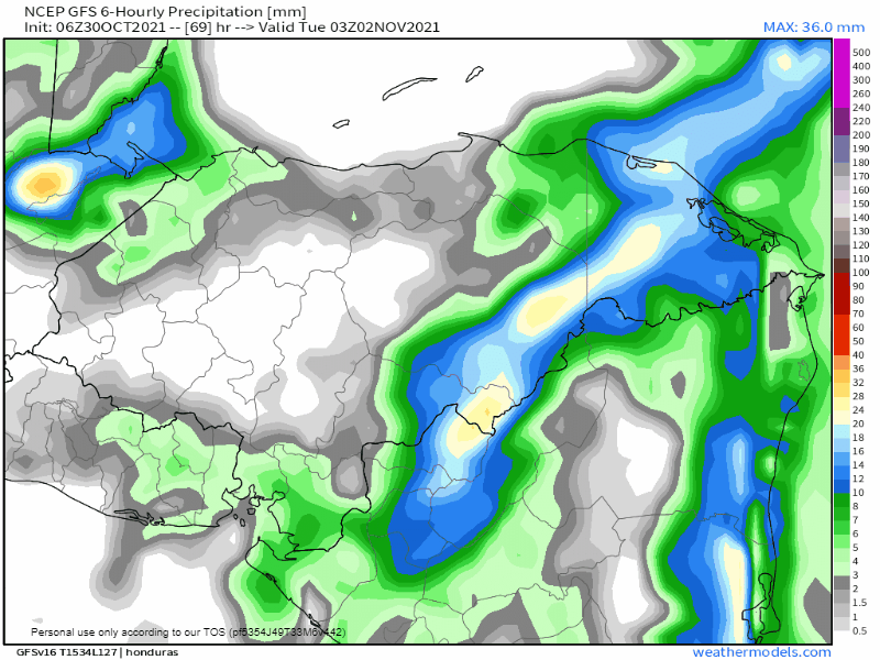
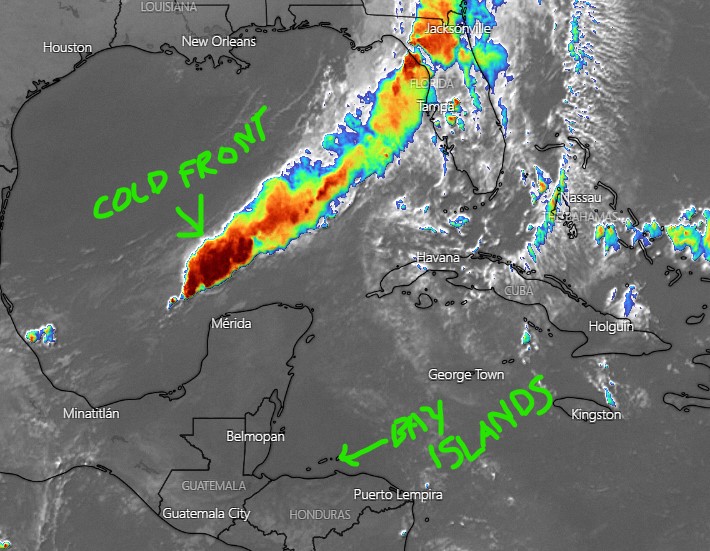
Saturday may be quite rainy as a cold front approaches from the north. Seas may get up a bit too, into the 4 foot (1.3 meter) range.
Behind the front on Sunday we’ll have north winds 15-20 mph, a chance of light rain and cool temperatures.
Have a great Thursday!