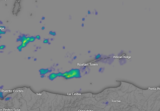
April 26, 2022: Good morning, Roatan! Last night Utila picked up .02 of an inch around 6 p.m., but other than that we have been dry. There are scattered showers around the Southern Carribean.
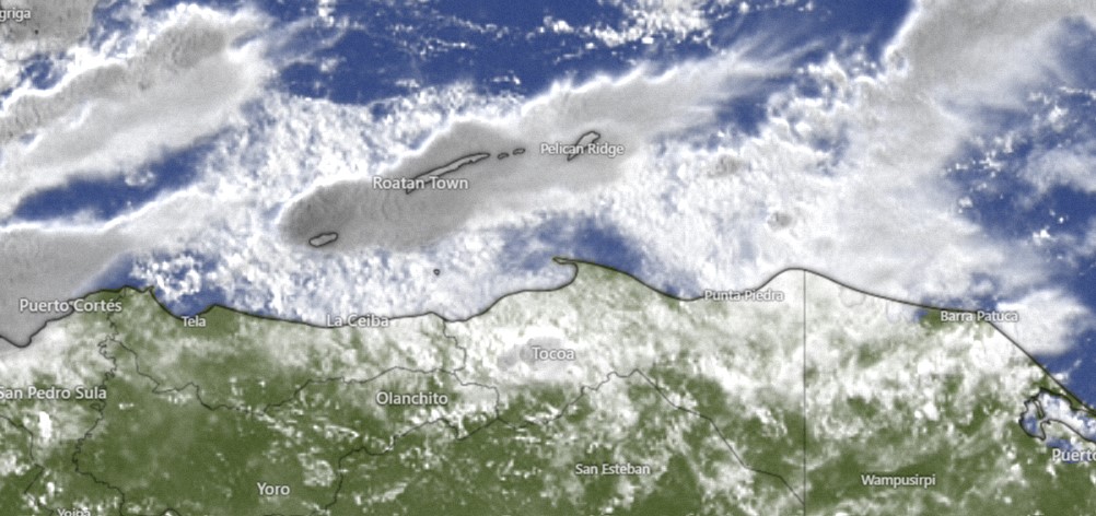
Clouds and showers will be on the increase this afternoon, perhaps a 50 percent chance you will see rain today. Winds will be from the east/northeast at 8-15 mph and seas at 2 feet (.6 meters).
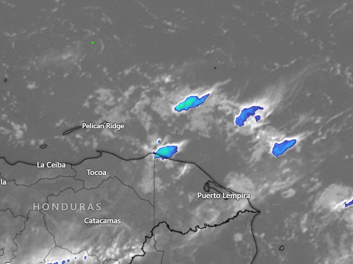
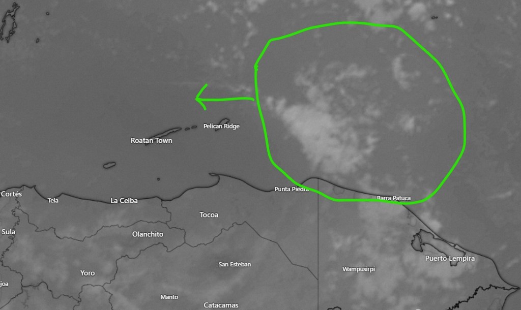
Tonight, tomorrow and tomorrow night we will have decent chances at rain, with forecast models giving most of us half an inch to an inch of rain through the period. Winds will continue from the east/northeast at 8-15 mph and seas at 2 feet.
Thursday rain chances diminish to around 40 percent, especially in the morning with quite calm winds and seas at 1-2 feet.
Friday through Sunday look quite nice with winds starting to pick up at night. Have a great Tuesday!