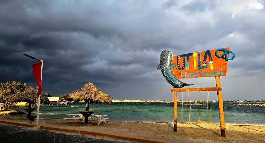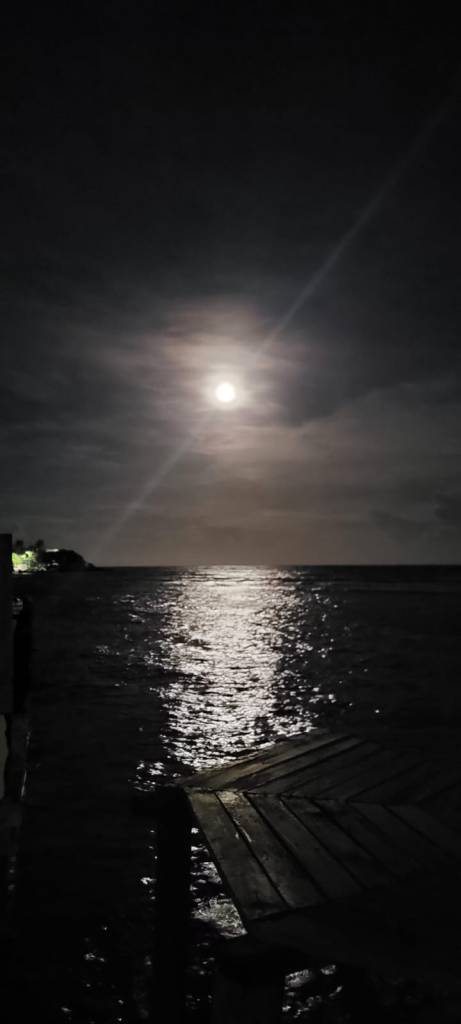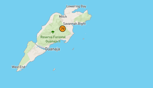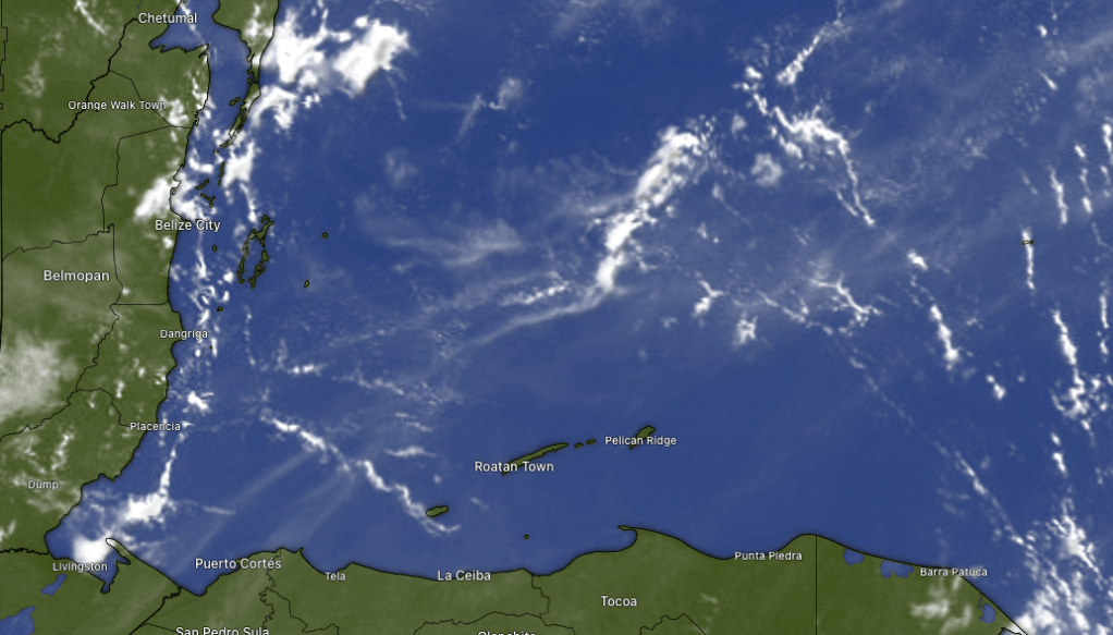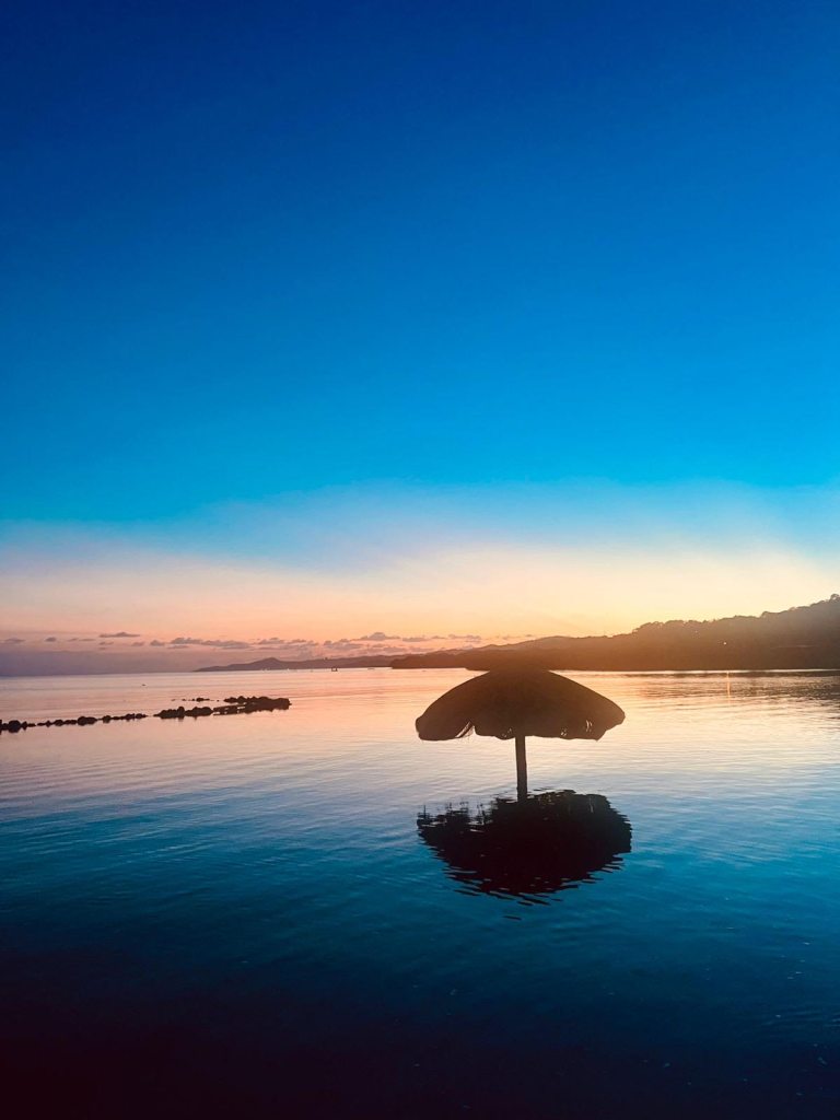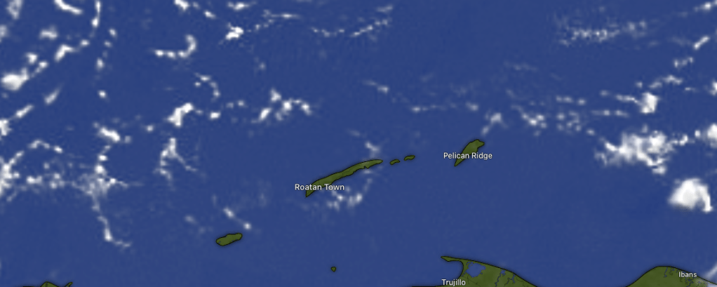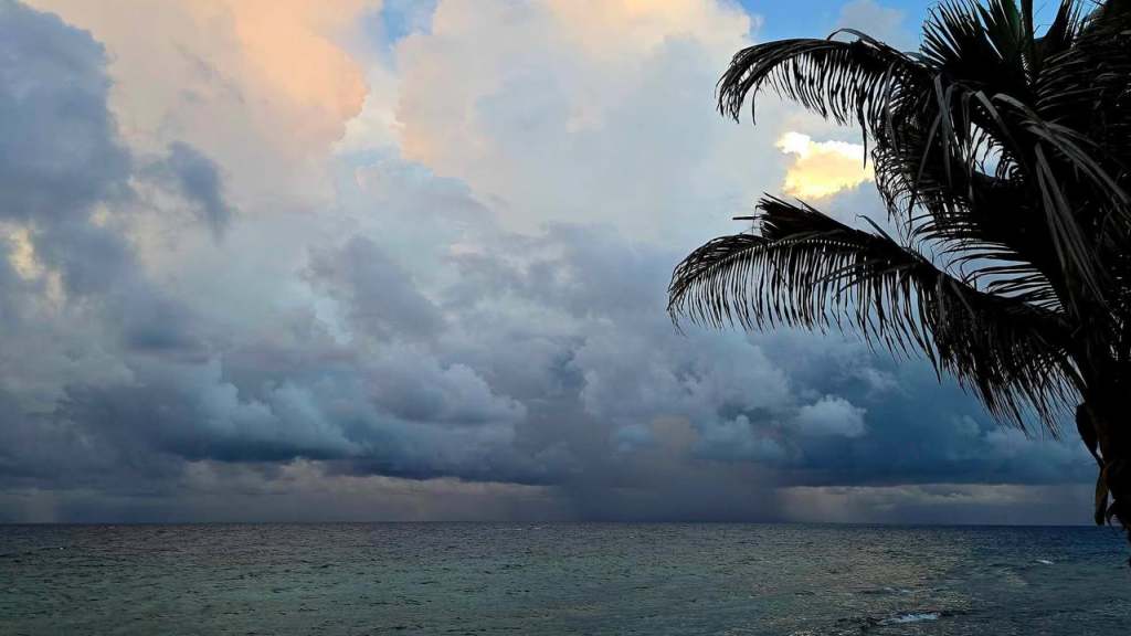
Good morning Bay Islands. Our photo of the day comes from Brad Ryon in Utila and shows what a lot of us have been experiencing, seeing rain fall in the distance but not falling on your patio or in your cistern. A little rain (under a tenth of an inch) fell in Sandy Bay this morning around 5.
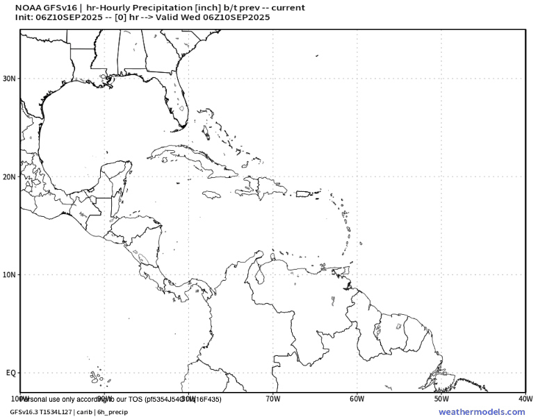
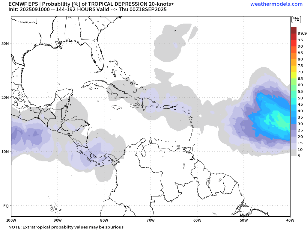
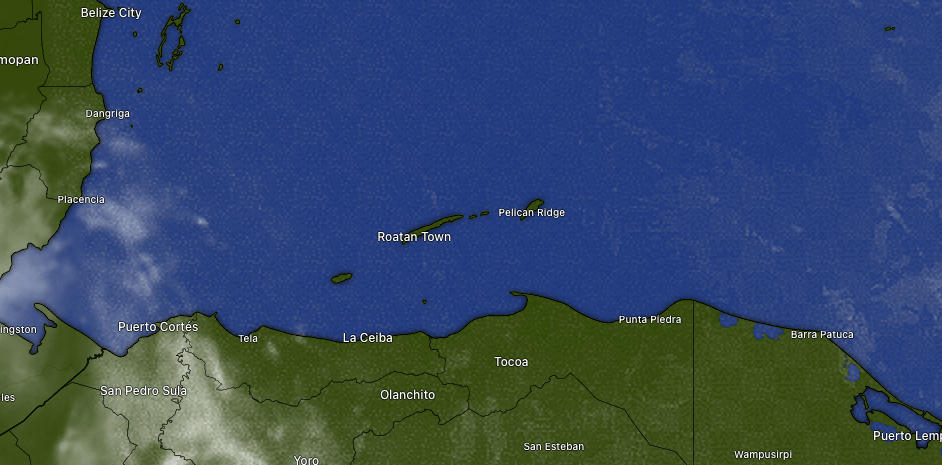
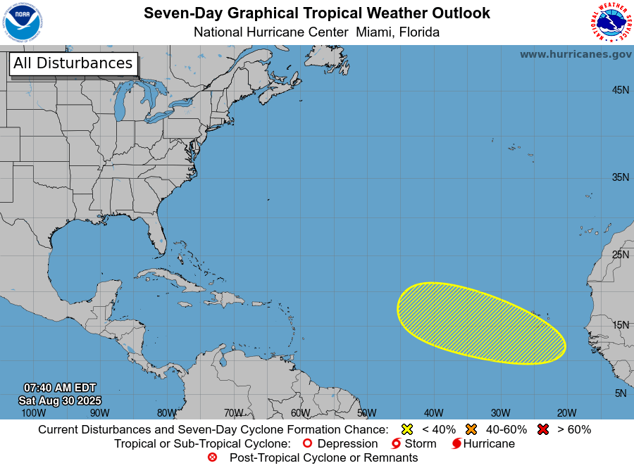
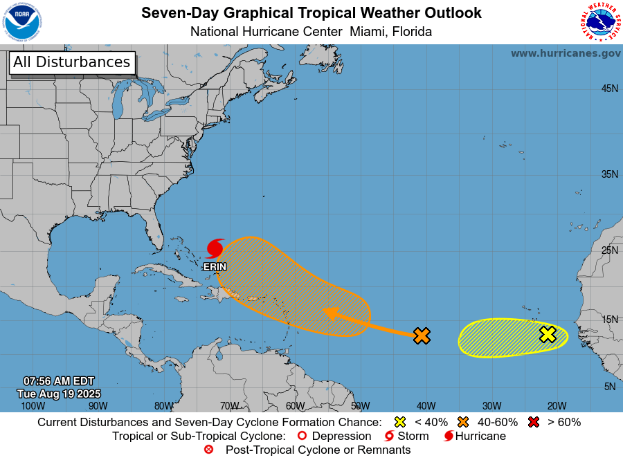
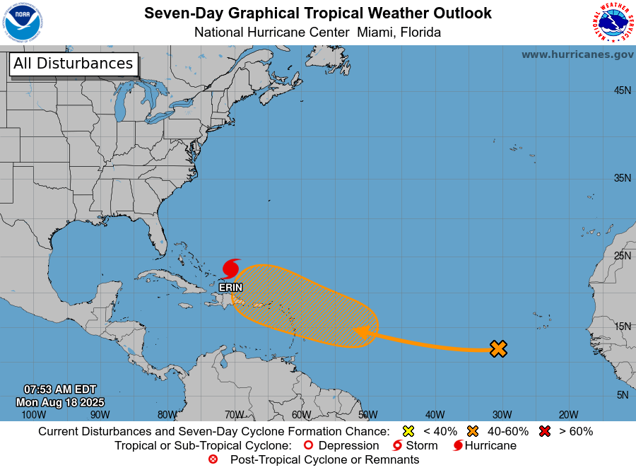
The Rainstorm That’s Missing Us Today is just to the north of Utila. There’s another one over near the Mosquito Coast. But there isn’t a whole lot of movement with these storms and they look like they will miss us once again. If we don’t get rain today, the trend will be towards lower chances of rain starting tomorrow. I would give us a 40 percent chance today into this evening, but we recently have been losing the rain lottery, so we’ll see.
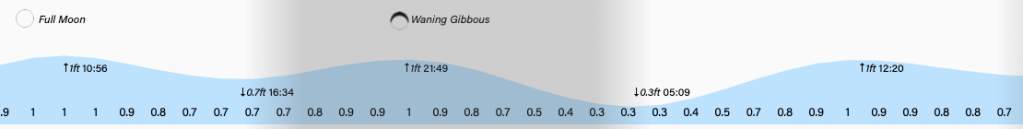
Wind and Galaxy Wave forecast: We start the day with east winds at 12 mph and seas 2-3 feet. We should get quite calm midday and afternoon to 5-10 mph and 1-2 feet. We should get quite calm the rest of the week into the weekend and I expect some periods of dead calm, so head out on the waters!
American football season is in full swing and that means cookouts, and that means premium meats from Carniceria Rosita in Coxen Hole and French Harbour!
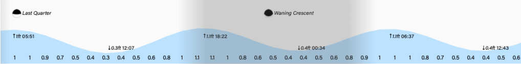
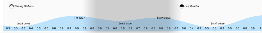
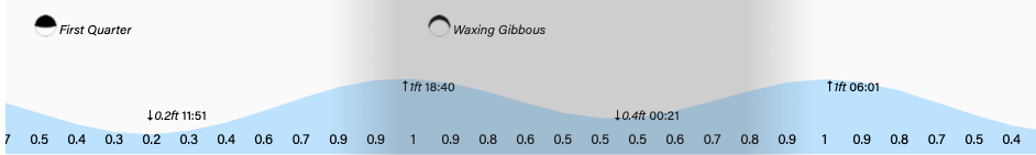
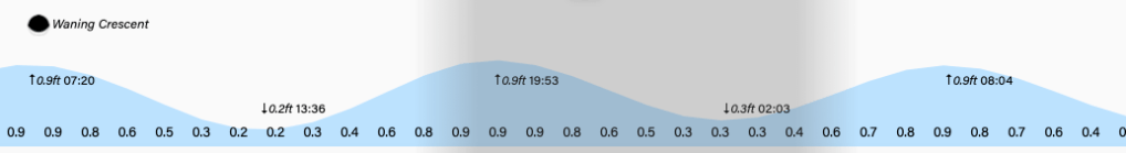
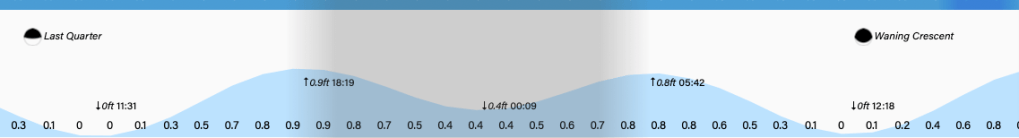
Low tide is around noon. Have a great Wednesday!