May 4, 2023: Good morning Bay Islands. A big question is whether this haze is clouds or smoke. The answer is that most of the stuff above us is clouds, but those clouds are not near the surface. If you are seeing grayed out hills or ships in the distance, that is poor air quality and probably smoke.
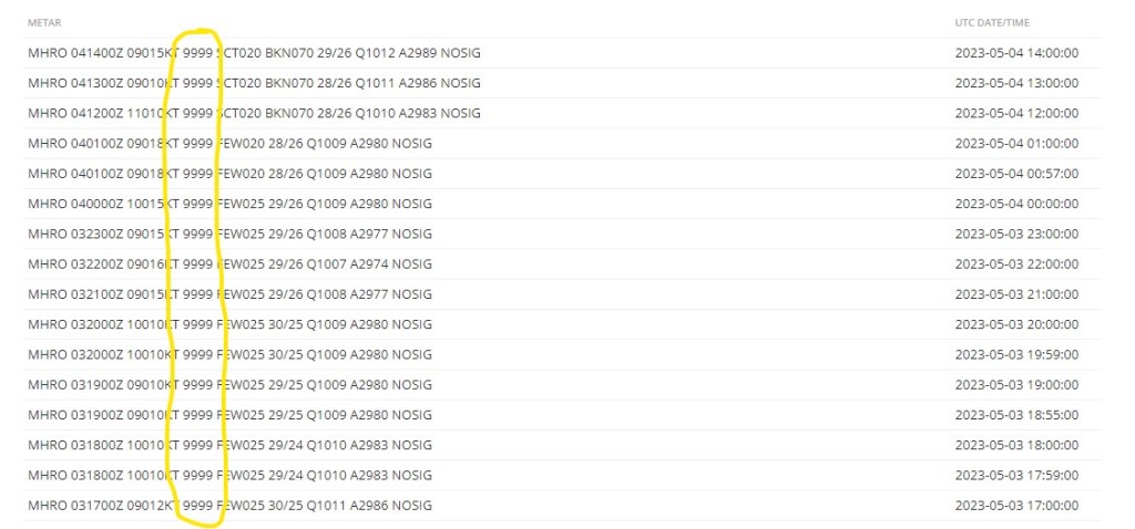
I saw a lot of that yesterday afternoon. I’m a bit confused as to why the airport is reporting 9999 meters (unlimited) visibility all day yesterday and this morning. That’s not what it seems like to me.
This morning we wake up to 15 mph winds and 3 foot waves. As the day moves along things will get even windier, until we get up to 30 mph winds tonight and 5-6 foot waves. Tomorrow will be much the same. Saturday winds will be 15-25 mph and seas at 4 feet. Aside from the smoky haze, the high clouds should clear out the next two days before coming back on Saturday.
The US GFS computer model is still wanting to give us scattered showers starting the end of next week and through that weekend, while other models are not as optimistic. We’ll keep an eye on it. Low tide is 1:38 p.m. Have a great Thursday.
