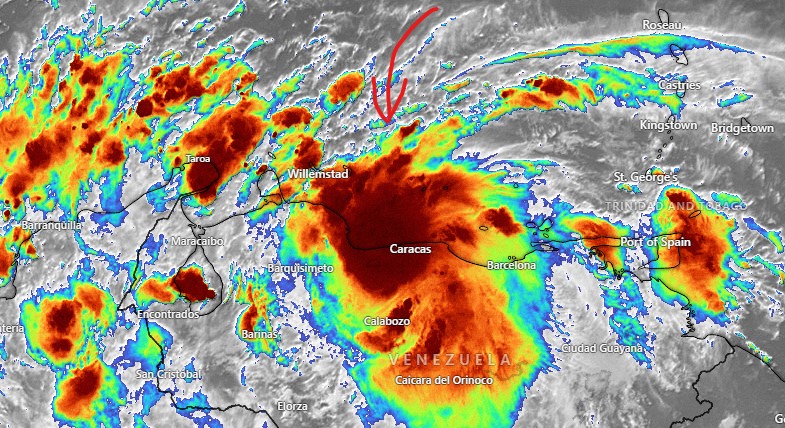
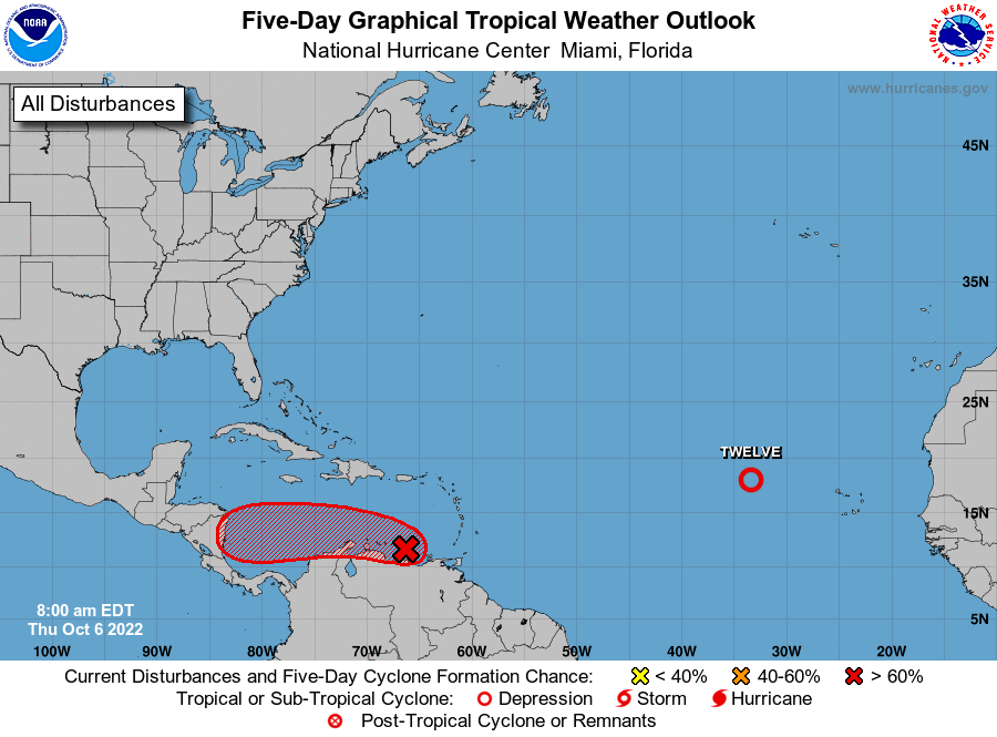
Tropical update for Oct. 6, 2022: Good morning, Roatan! Storm 91L is very close to Caracas, Venezuela after bringing torrential rains to Trinidad. Overnight, we got better agreement on a few things:
1. Any effects for us should come Sunday night into Monday morning.
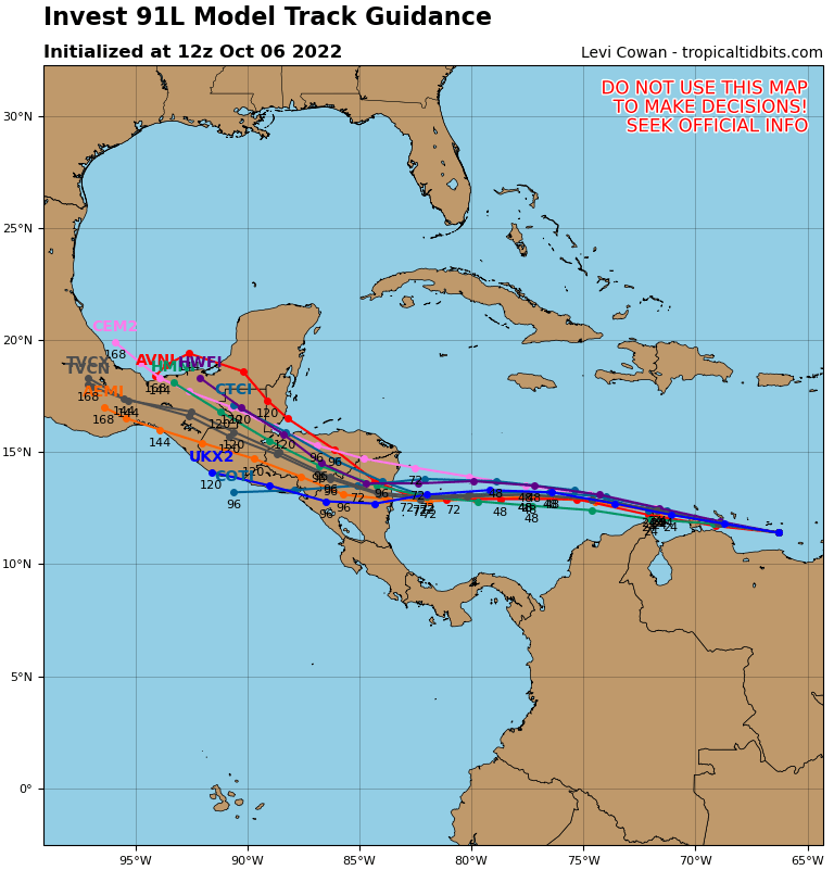
2. Models are mostly saying this hits the Nicaragua coast as either a Category 1 hurricane or a tropical storm (Caution: storms have a history of intensifying before hitting Nicaragua.)
3. There is a good chance the storm turns north after hitting Nicaragua and comes through the heart of the Honduran mainland.
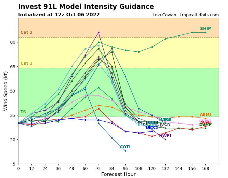
My main concern about this storm is the possibility of torrential rain after we’ve already had a weekend full of rain, causing flooding here and on the mainland. My concerns about high winds are less today than they were yesterday, though keep in mind that until this cyclone forms, we won’t know exactly where it will go. As it stands, winds 25-35 mph are in the forecast for Monday morning, but that can always change. Keep watchful.
