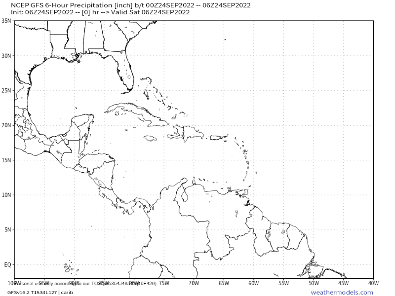
Tropical update for Sept. 24, 2022: You know that feeling you get when you are standing at the side of the road where the road curves, and car is coming right at you but you trust that it will turn away from you in order to stay on the road? That’s where we’re sitting right now with Tropical Storm Ian. Overnight the storm got better structure and it also moved west/SOUTHwest. But all the models say it will begin moving northwest, probably today and move south of Jamaica and toward Grand Cayman before either hitting western Cuba, or perhaps just missing off of Cuba’s western tip and entering the Gulf of Mexico. Exactly how for west it comes will affect our weather next week. It is possible we may see the very westernmost bands of the storm as it passes through the Caribbean on Monday. We probably won’t get much rain, because the western and southern sides of the storm are the driest, but we may get some clouds and, more importantly, some westerly winds and waves. Right now the forecast is for 10-15 mph and 2 foot seas, but keep an eye on it, and the seas will be worse the farther north you go. Through the middle of the week we should be relatively dry, but if the storm gets as strong as they think it will, it should pull northerly winds from North America down this far south. That means next Friday into next weekend could be rainy and cool, much like we get in a winter cold front, though probably not quite as cold. Right now next weekend looks pretty rainy. We’ll keep an eye on it. Exactly when it turns north will tell us a lot.
