We are still on schedule to have a tropical wave pass through Wednesday night into Thursday. The European model only wants to give us an inch, but the U.S. model is indicating two inches. My guess is some folks will be in between, but you know when you get under a tropical downpour, the inches can build up quick.
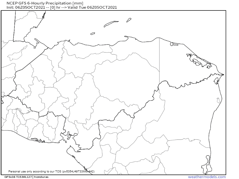
This map shows the U.S. model prediction for rain into Friday.
Today we should have relatively calm winds and seas and a small chance of a scattered shower early and a good chance late in the day.
Tomorrow we’ll have a good chance of rain during the day and winds will pick up into the 10-15 mph range, with seas at 2 feet.
Wednesday night should be the rainiest, with winds up to 20 mph and seas at 2 feet. Those winds and seas will follow us into Thursday with a good chance of rain. Calmer conditions and smaller chances of rain should return for the weekend.
Have a great Tuesday!
