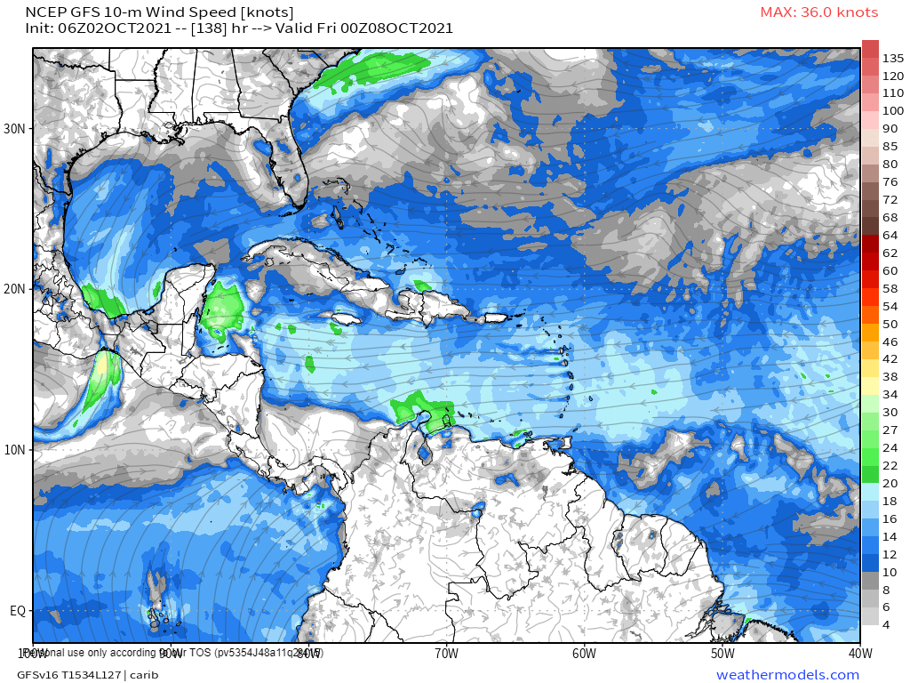
Yesterday I pointed out that the current U.S. GFS model showed the possibility of a tropical storm, or perhaps even a hurricane, to our north for next weekend. This morning, as you can see in the model for Thursday night, it is still looking for tropical development, but it has lowered its intensity. That is the thing about these models. They are pretty good two days out. They are pretty bad a week out. But they are also pretty good at sensing that something is coming, just not how strong it will be. We’ll look at other models in the comments.
This is the European model for Wednesday night. Notice is shows widespread showers in our region, but does not show a rotating cyclone.
This is the German ICON model for Wednesday afternoon. This model shows widespread showers but does not show a rotating cyclone.
As for the near-term weather, we’ll have moderate east winds today at 12-17 mph and seas at 2 feet (.6 meters).
Tomorrow there is a chance of a morning shower and winds and seas will be calm. Those calm conditions will continue into next week, with only a small chance of a shower early in the week. As we discussed above, the chance of rain goes up Wednesday and Thursday.
