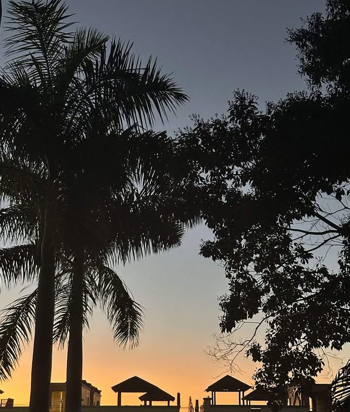
Good morning Bay Islands. Our photo of the day comes from Don Spicer in West Bay.
We have another day of great weather before the norther arrives. Tomorrow looks like it might be the rainier day and Wednesday the windiest.
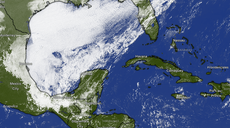
We’re still quite clear on satellite, but we can see the cold front clearly running from the north Yucatan back into Florida. Winds will turn to the north this evening 10-15 mph with 3 foot seas. Chance of rain increases overnight and we will have periods of heavy rain tonight through Wednesday. Winds tomorrow will be from the north 12-17 mph and seas 4 feet in the morning building to 6 feet tomorrow evening. Wednesday north winds will be 17-22 mph gusting close to 30 by evening and seas 6-7 feet. Thursday things start to calm down.

Rain totals, like with many northers, should be higher toward the mainland, especially toward Puerto Cortes, but most models give us 2-3 inches over the whole period. Keep in mind that if you get under the wrong clouds you can get 2-3 inches in an hour, so local totals can be more.
The end of the week looks nicer but we have another norther coming on Sunday.

Explore Roatan real estate with the island’s top experts at Roatan Life Real Estate. Serving clients since 2001, we offer personalized guidance in buying and selling properties. Trust our dedicated team for unparalleled local knowledge. Start your journey at www.roatanlife.com.
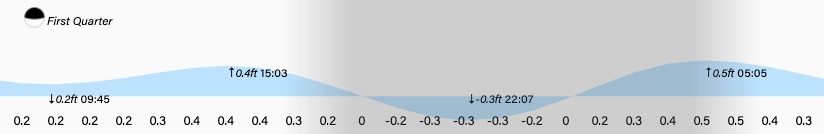
Low tide is 10 p.m. Have a great week!
