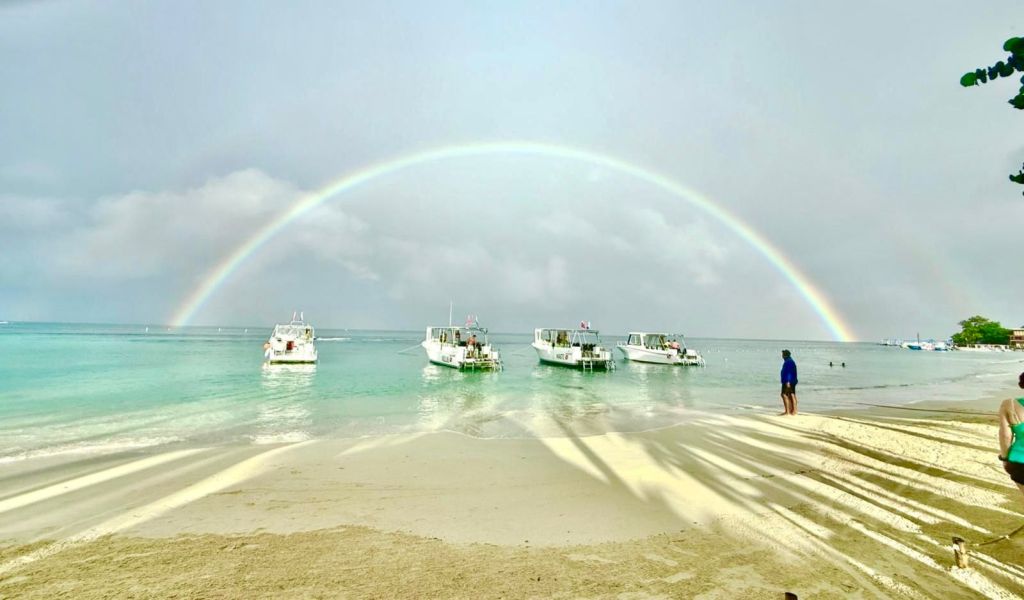
Good morning Bay Islands. Our photo of the day comes from Cesar Gonzales in West Bay with a perfect rainbow. Over the next few days, it will be hard to find enough sun to create a rainbow. We are in for long periods of rain that will often be heavy and strong seas that will peak on Tuesday and perhaps last into Wednesday.
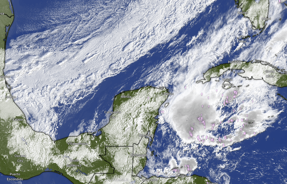
At 8:30 a.m. we can clearly see the cold front to our north as well as the storms over us this morning. We will have long periods of rain today through Tuesday, sometimes heavy. Rain should start to let up Wednesday and the end of next week looks pretty nice, with just regular morning chances of rain.
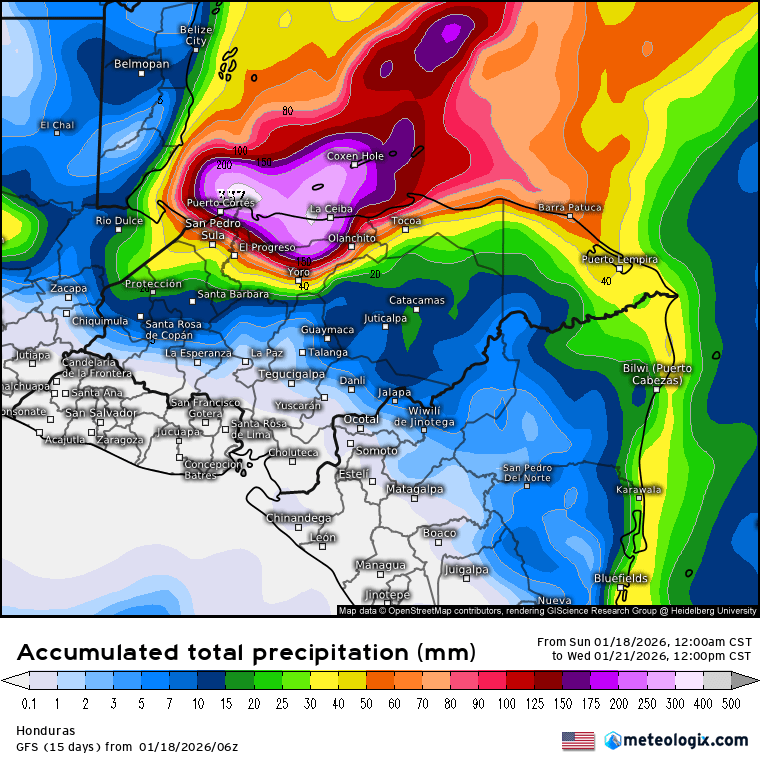
This is the GFS forecast for rain through Wednesday at noon. It forecasts 8-10 inches. Some other computer models show less, but none are much less than 5-6 inches. Get ready for lots of rain and be careful out there.
Winds will be from the north today around 10-15 mph and seas around 3-4 feet, perhaps 4-5 by evening. Tomorrow and Tuesday north winds will be 15-20 mph and some periods will gust to 25 mph and seas 6-7 feet, especially north side. Wednesday winds shift to the west and may still be quite gusty. Wednesday will be a day for big waves on West Bay Beach.

I wanted to mention that Mitch Cummins, a longtime friend of Roatan Weather, has announced he is retiring from the pet food business. Many thanks for your help. If you are interested in purchasing any of his equipment, you can contact him directly.
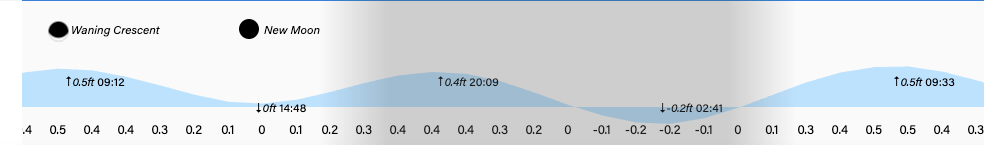
Low tides will be 2:40 p.m. and 2:40 a.m. Have a safe Sunday!
