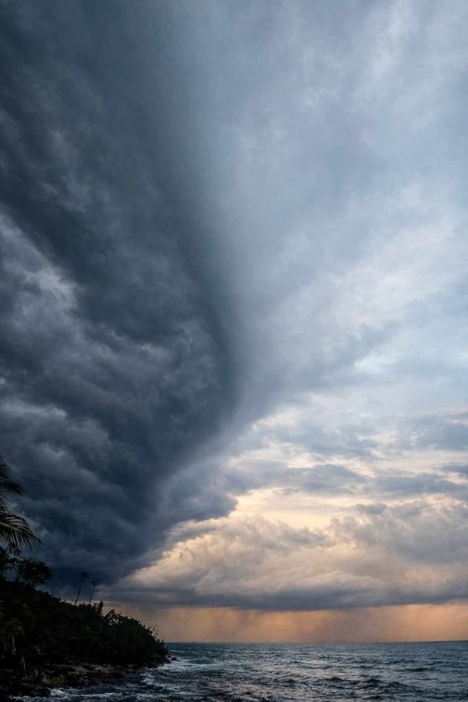
Good morning Bay Islands. Our photo of the day comes from Brad Ryon with a nice rainstorm on Utila. We will be seeing plenty of this over the coming days with a persistent north wind that will blow especially hard Sunday evening into Monday morning.
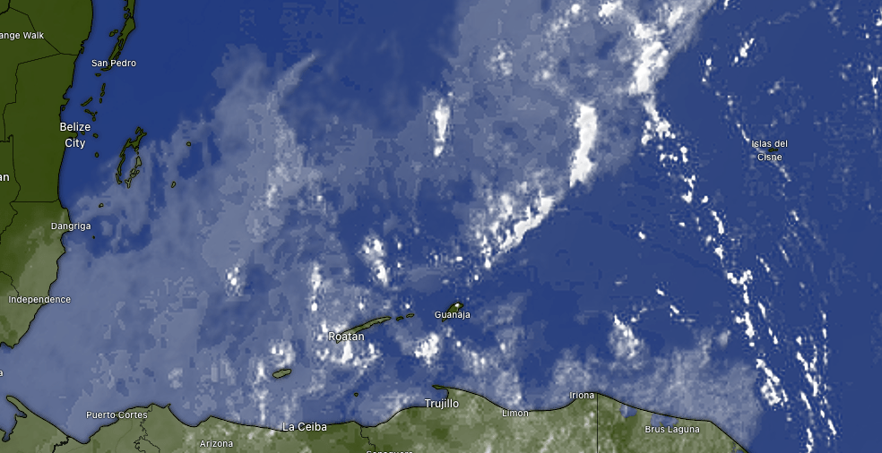
At 6:30 a.m. we have scattered clouds around the islands and a few showers out there. West Bay picked up nearly an inch overnight, while the east side stayed mostly dry. There will be a good chance of rain today and tomorrow. Our best chance for a nice day comes Saturday, with mild winds and a lower chance of rain. Winds and rain pick up Sunday and Monday.
Wind and wave forecast: We wake up to 15 mph northwest winds and seas 3 feet. Winds will turn more northerly today, still around 15 mph and seas 3-4 feet. They will stay right around there tomorrow morning before getting a little calmer in the afternoon. Saturday winds will be calmer, but seas will still be around 3 feet due to swell. Sunday afternoon through Tuesday morning is a period to be very careful on the seas, with north winds around 20 mph and seas around 5 feet. Winds start turning back to the east next Thursday.

With some fresh mornings coming up, it will be time for some warm meats to warm your insides and the best place to get that meat is Carniceria Rosita in French Harbour and Coxen Hole.
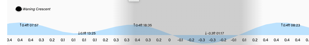
Lowest tide is 1:20 a.m. Have a great Thursday!
