
Good morning Bay Islands. Larry Cox captured this Garifuna performance on West Bay beach. Most of us have continued dry, though .02 of an inch was recorded at 4:30 a.m. at Pumpkin Hill, Utila. We will see an increase in rain chances going forward and something very interesting is forecast Monday and Tuesday on one of the models.
On satellite at 7:30 a.m. we see some rain over Belize that is headed south and won’t affect us. We are mostly clear with a few popcorn clouds to our east. Today should be mostly sunny.
This is the US GFS forecast showing a tropical spinup right over our heads Monday into Tuesday before lifting north as a tropical storm/hurricane headed to the US Gulf Coast. Keep in mind this is just one model, with a reputation for seeing tropical storms where none happen.
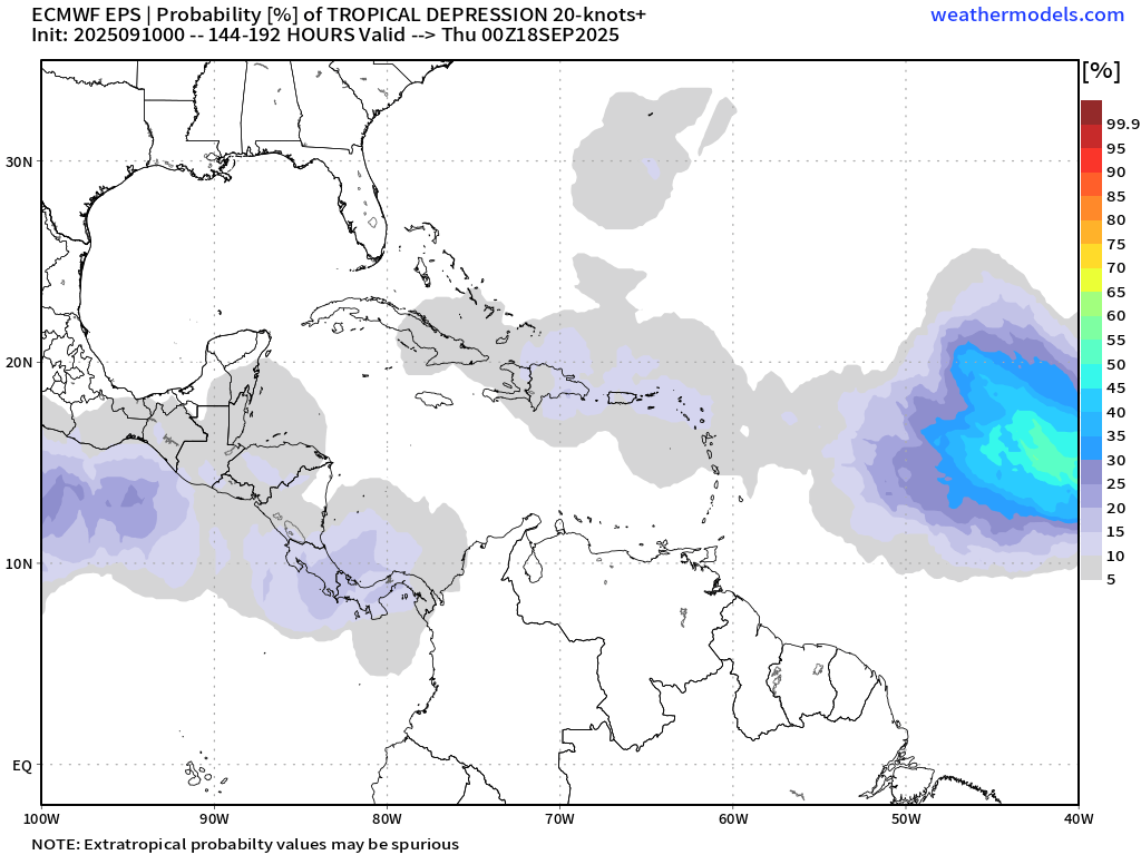
The Euro model sees the same possibility but only gives it a 5 percent chance of happening here. In any case, rain chances, especially overnight and in the early mornings, should increase as we get into the weekend.

Our friend Mitch Cummins is still in the US and is soon to return to the island, but he has left his nutritious pet food operation in good hands. Check out Roatan Pets for foods that are locally sourced and designed for your furry friends.
Wind and Galaxy Wave forecast: Today will be our windiest day in awhile. We start the day with 20 mph east winds and seas 3-4 feet. We should calm midday to 15 mph and 3 feet before getting windy again this evening. Starting tomorrow we will see a calming trend and possibly dead calm by weekend.
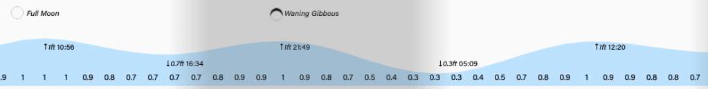
Tides remain on the high side. Have a great Wednesday!
