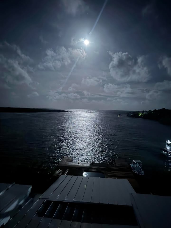
Good Friday morning Bay Islands. Our photo of the day is a view of our current full moon over Jonesville Point from Andy Searcey.
We have a nice area of rain to our east. We’ll see if it can make it all the way to our islands.
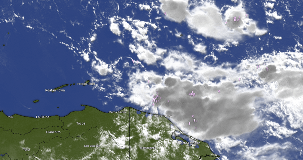
At 8 a.m. we have a large area of rain and a few thunder bolts to the east of Guanaja. There are also a few stray showers to the north of Guanaja. All of this is slowly building to the west. I suspect Guanaja may get some mid-morning showers and some of these may also make it to Roatan. Rain chances go down this afternoon but we will have another chance of rain tomorrow. Rain chances go up Sunday evening through the day on Monday, when we have quite a good chance at rain. Rain chances continue into Tuesday, but then go down for mid- to late-week.
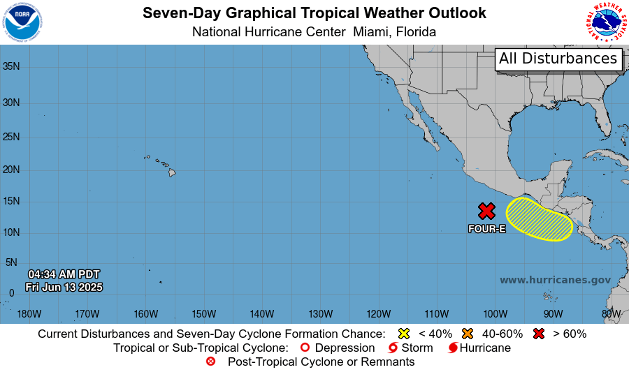
Most of the tropical weather action continues to be on the Pacific side of Central America, which is becoming a tropical storm factory. Of course these storms wander off to sea and die, so they are fairly harmless.
Wind and Galaxy Wave forecast: Our winds this morning are a tad calmer than we’ve been, at 15 mph from the east and seas 2-3 feet. We should stay right around there today, with winds increasing to 20 mph and 3 feet overnight. Tomorrow we should be back to 20 mph easterly winds, with 25 mph overnights.

It’s Friday which means it’s the day you can make a quick two-day getaway to Guanaja. Or, make a week of it and explore the Bay Islands’ hidden gem. Check them out at roatanferry.com.
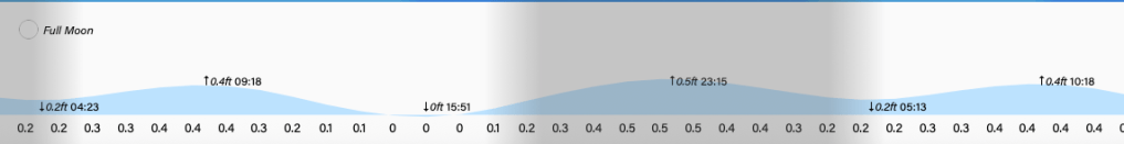
Low tide is 4 p.m. Have a great Friday!
