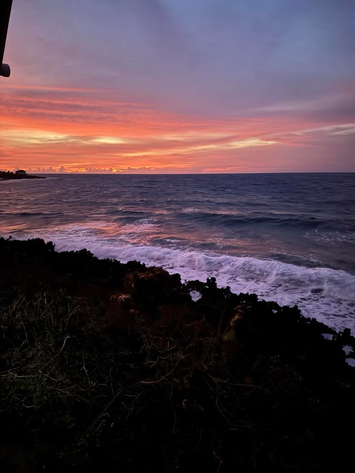
Good morning Bay Islands. Our photo of the day is from Pat Dubendorfer looking toward Parrot Tree. The five most-liked photos of June get an excursion from Jolly Roger Roatan valued at $100 complete with meal and drinks. Message photos here or at bookmybio@gmail.com with name and location.
Most of the computers are in agreement that sometime in the 7-10 day period a tropical storm will be created near Central America. The question is where.
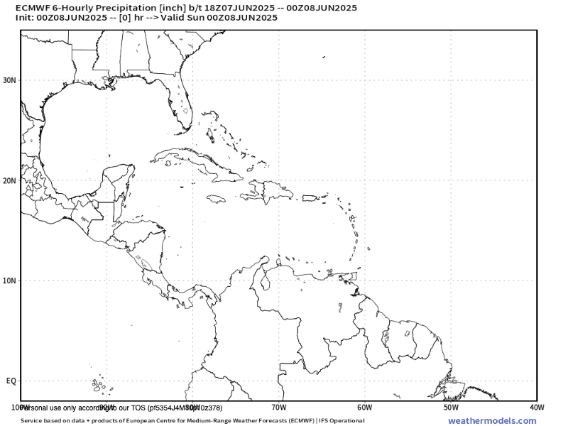
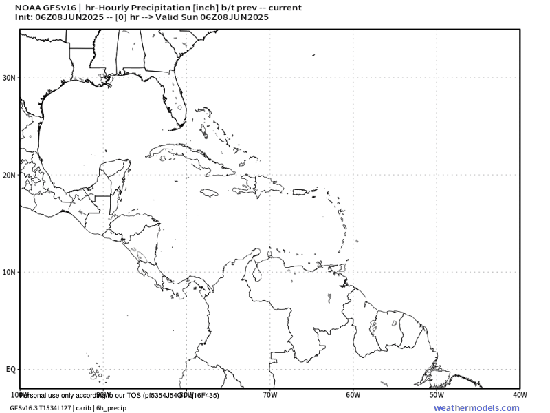
On our infrared satellite at 7 a.m. we see quite a large storm over near Puerto Lempira on the Mosquito Coast and a few smaller storms to our northeast. The computers say these storms will weaken as the day goes on and miss us, but I’m not certain that Guanaja and the big island won’t get any rain from this. We should see a few clouds and perhaps a thundershower, especially the further east you go in our islands.
For the week ahead there will be more of these kinds of storms brewing to our east and threatening us.
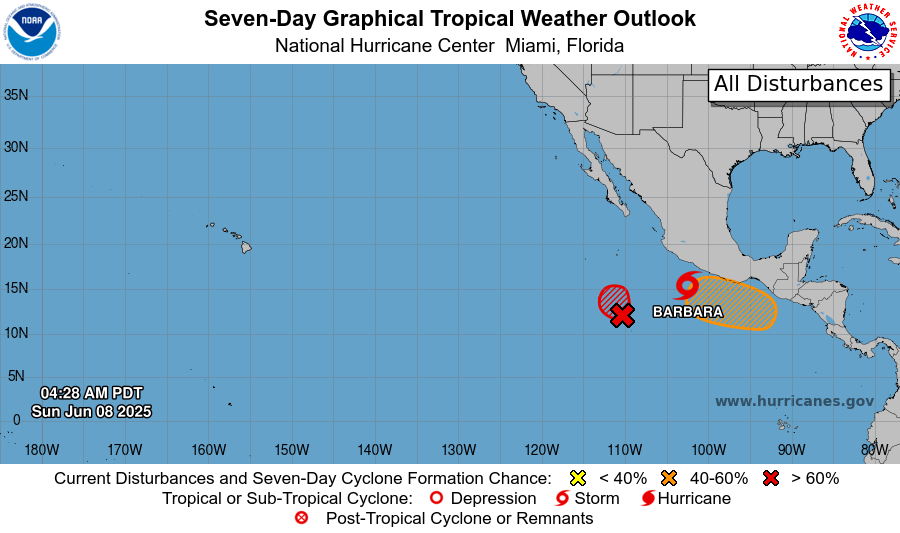
I want to start off by saying that our Central American gyre has already produced a tropical storm, TS Barbara, with 45 mph winds southwest of Acapulco. It should stay out in the Pacific.
The Euro says in the week ahead more storms will be produced over Central America, with another tropical storm forming in the Pacific toward the end of that period. This is what most of the computers forecast.
The US GFS continues to see a tropical system being produced in the Caribbean, roughly to our north, sometime around June 14. Again, this is unlikely, but it is worth watching.
Wind and Galaxy Wave forecast: We start the day with 20 mph east winds and seas 3 feet. We should calm midday to 15 mph east winds and seas still around 3 feet. We will stay right around those wind levels through the week ahead.
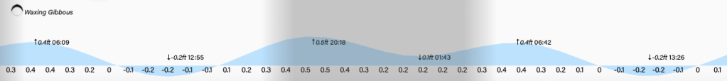
Lowest tide is 1 p.m. Have a great Sunday!
