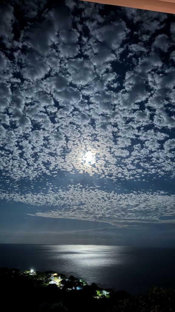
Good morning Bay Islands. Our photo of the day comes from Alex Fleig and shows the recent full moon over Jonesville Point through what seem to be cumulostratus clouds. These clouds often precede a warm weather system, which is what we’re about to get today and tomorrow.
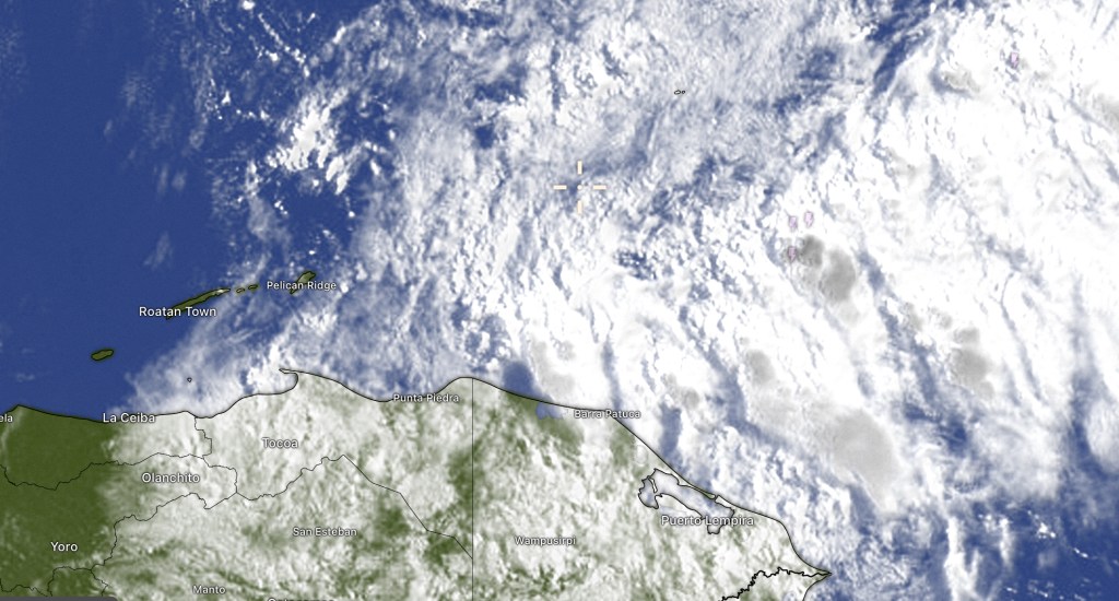
On our satellite we see the clouds from the other side and we can see the weather system that will give us increasing chances of rain today as the day goes on. At 7:30 a.m. Trujillo on the coast has already picked up a third of an inch. Rain continues off and on tonight, through the day tomorrow and tomorrow night, coming to an end Thursday morning. Midday and afternoon Thursday we should dry out and Friday and Saturday we only have small chances of morning showers. Easter Sunday looks dry, as does next week.
Wind and Galaxy Wave forecast. We start the day with northeast winds around 10 mph and seas 2 feet. Winds this afternoon turn a bit more to the north at 10-15 mph and seas 3 feet northside, though watch out for some gusts around squalls. Winds turn back to the northeast tomorrow around 10 mph and seas 2-3 feet. Thursday into the weekend winds will come from the east, 15 mph Thursday and Friday, 20 mph Saturday and 20-30 mph Sunday, a little calmer middays, a little windier evenings and overnight. Seas by Sunday will be 4-5 feet south side.

I know many of you are making your grilling plans for the beach this weekend. Before you head out, make sure you let James Thomas and his crew order up the finest meats on the island, cut to your wishes.
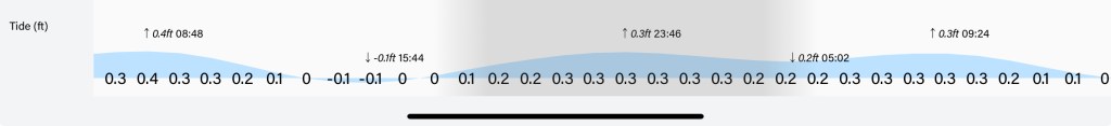
Lowest tide is 3:45 p.m. Have a great Tuesday!
