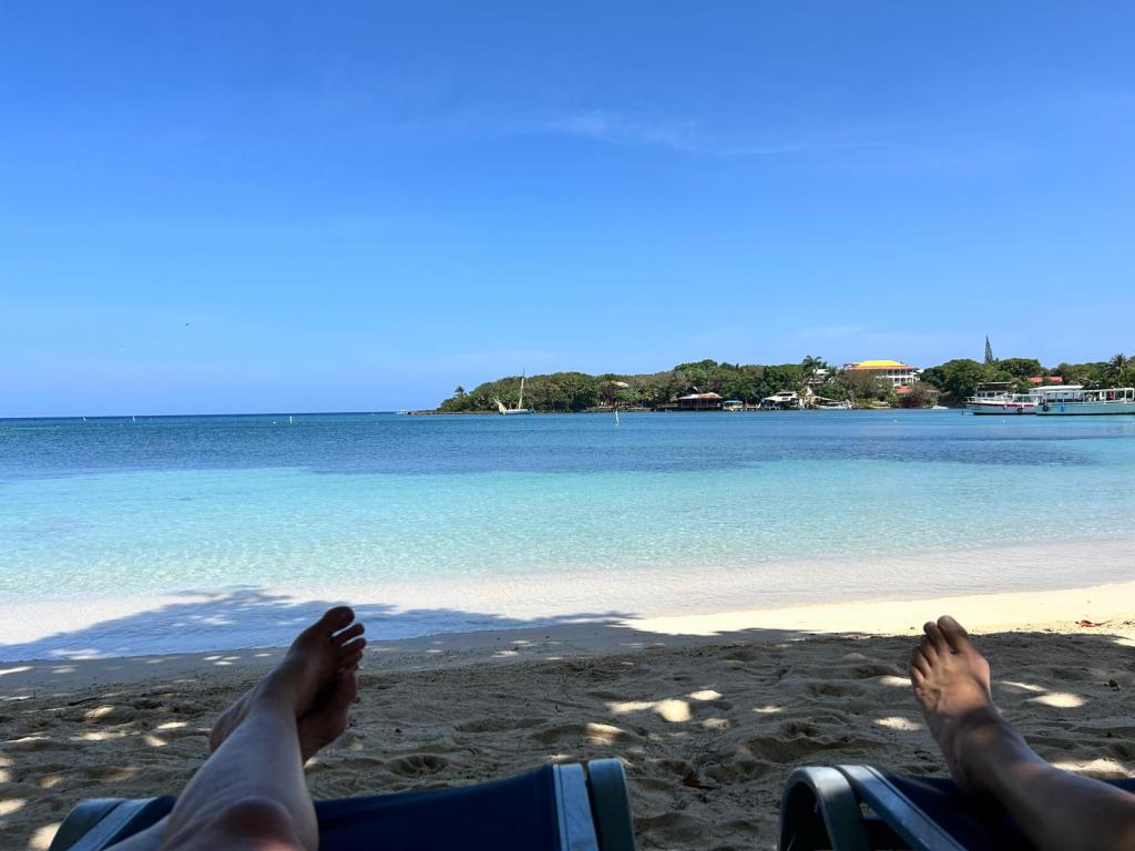
Good morning Bay Islands. I love “feet at the beach” pictures. This one comes from Kathy Jones and shows them catching a moment when the beach at West End was empty except for them one recent morning.
Speaking of mornings, we are hoping for a morning shower tomorrow or Thursday. It’s not a great chance, but we’ll take what we can get during dry season.

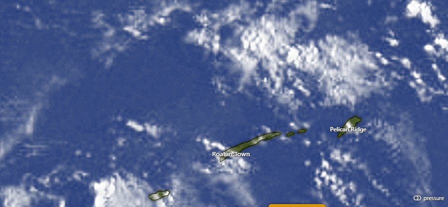
At 7:30 a.m. we have a few clouds around, especially to our northeast. These clouds are slowly moving west, but we should remain dry today. We will see a few more clouds tomorrow morning and Thursday morning and we will have about a 30 percent chance of seeing a shower each morning. After that, we will be dry again through the weekend.
Wind and Galaxy Wave forecast: We wake up to 20 mph east winds and 3 foot seas. We should calm midday to around 15 mph and 3 foot seas, and we will stay right around there through the rest of this week. This weekend looks slightly windier, with 15-20 mph daytime winds and 20-25 mph nighttime winds with seas 3-5 feet.
Many thanks to Carlos de Wit for sending along the Crown Weather Service hurricane outlook for 2025. They are forecasting a slightly above-average season due to the fact that this year will likely be neither El Nino or La Nina. They forecast most of the activity to be US East Coast, central Gulf and northeast Caribbean, which would be good news for us in the southwest Caribbean. Hurricane season starts June 1, but for us generally starts in mid to late August.

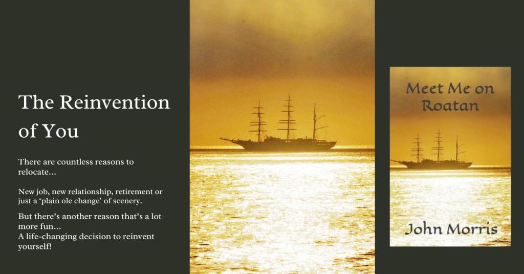
If you are an expat, this book will give you lots of familiar island experiences. If you are looking at visiting or moving here, it is a good preparation for what you will experience. John Morris’ Meet Me on Roatan. https://a.co/d/0akNNgc

Low tides are noon and midnight. Have a great Tuesday!