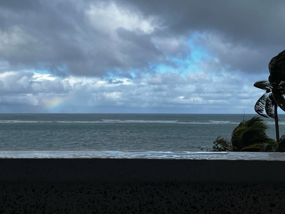
Good morning Bay Islands. Our photo of the day comes from Shawn Pfoutz in West End. If you look on the left side of the photo, you can see a small rainbow. Later this afternoon we should have a few clouds move in from the north and we may see a rainbow somewhere, but it’s not likely.
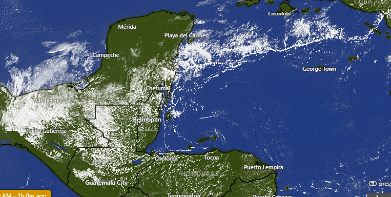
On satellite at 11 a.m. we can see some clouds associated with a VERY week cold front to our north. Some of those clouds will try to push south, but will likely not have much success. We can’t rule out a stray evening shower, but it’s not likely.
Other than that we should stay pretty dry until Monday, when we should get a stronger cold front bringing scattered showers Monday and Tuesday. It will be good to cool us down a little, because we’ve been hot. Yesterday the high at the airport was 89 (31.7C) with a dewpoint of 78 (25.6C) which made for a heat index of 103 (40C).
Wind and Galaxy Wave forecast: Winds are quite light and variable and seas quite calm. They will continue that way today. Tonight into tomorrow they will pick up to 15 mph and seas 2 feet. Tomorrow night into Saturday morning winds will be from the east 20 mph and seas 3-4 feet, though they will calm a bit through the day.
Monday into Tuesday we will see northwesterly winds, probably around 10-15 mph and seas around 3 feet northside.
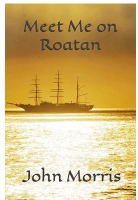
I want to make mention of the fact that John Morris has written and published a book on life on Roatan from a North American’s perspective. If you are considering life on the islands it is quite informative. If you already are an adoptive Roatanian, it is like comfort food, with lots of accounts of familiar names and places. Check it out on Amazon.
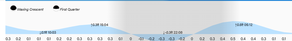
Lowest tide is 10 p.m. Have a great Thursday!
