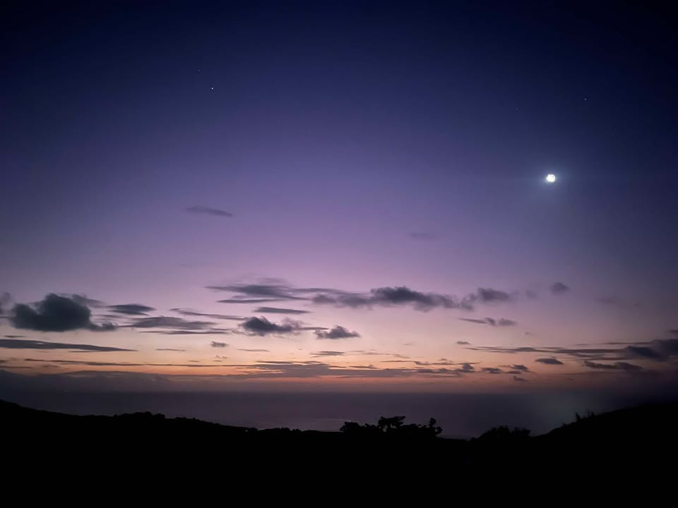
Good morning Bay Islands. Our photo of the day comes from Daniel Rice who took this photo of sunrise, with the moon setting within the Scoripio constellation, on Ridge Road, West Bay.
The big story today is how cool it was this morning. The airport recorded 68 degrees (20C). While that is above our all-time record low of 62.6 degrees (17C), it is probably going to be the coldest temperature of this winter season.
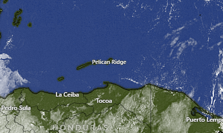
On satellite we have clear skies and dry conditions today and tomorrow. Another round of rain is expected on Friday. After that the weekend looks dry with the exception of a possible Saturday morning shower. Monday has a chance of morning showers, but other than that next week looks dry.
Temperatures will be pleasant today, in the upper 70s (around 25C) and tonight and tomorrow morning will again be fresh, with some of us getting into the upper 60s (around 20C). After that we should get warmer into our more typical tropical temperatures.
Wind and Galaxy Wave forecast: Winds are quite calm this morning after some blustery northerlies yesterday. We will stay at 5 mph northeast winds today, with seas 1-2 feet. Tomorrow and Thursday we will have east winds 10 mph and seas around 2 feet. Friday winds turn back to the northeast with our next system, with 15 mph winds and seas 2 feet. All in all the next week and a half look pretty good for fairly calm winds and waves.

If you are planning your cruise excursion, the seas look great for the foreseeable future, so you will want to make sure you maximize your fun by booking your excursion on Jolly Roger Roatan. They promise you a fun, safe experience and will get you back to the boat on time.

Low tides are around 2 p.m. and 2 a.m. Have a great Wednesday!
