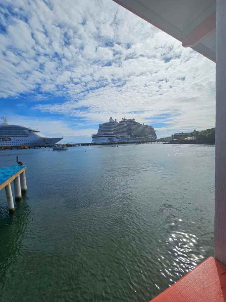
Good morning Bay Islands. Our photo of the day comes from Carrie Welcome in Coxen Hole. I love how she captured the thin, cirrus clouds. We do not have cirrus clouds today. We have rain clouds from a cold front bringing us morning showers.
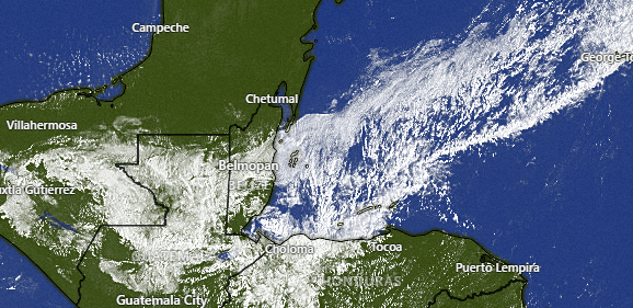
On satellite at 9 a.m. we can clearly see the outline of the cold front coming over us. It will bring us mostly cloudy skies today and rain, especially this morning. Rain will be less likely this afternoon. We should notice cool temperatures in the low 70s (22C) tonight and tomorrow morning. Tomorrow and Thursday should be dry before another chance of rain comes in for Friday morning and Friday night. Right now the weekend and next week look dry.
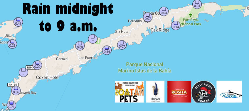
Here are rain totals since midnight.
Wind and Galaxy Wave forecast: This morning we have north/northwest winds around 10 mph and seas near 2 feet northside. Those should get a little stronger midday and afternoon to around 15 mph and 3 feet. Those winds calm down to 5-10 mph from the northeast tonight and tomorrow. Thursday winds will be from the east around 15 mph and seas 2 feet. Friday they will turn slightly to the northeast and calm to 10 mph. The weekend looks like a typical 15 mph from the east kind of weekend.

All in all the winds and seas look pretty good for your next trip this week, especially that weekend getaway to visit Guanaja!
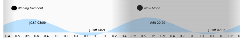
Low tides are 2:30 p.m. and 2:30 a.m. as we move toward new moon phase. Have a great Tuesday!
