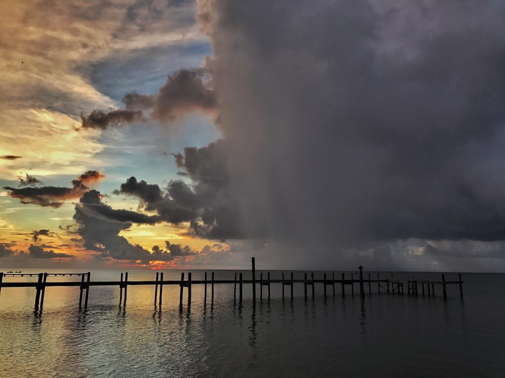
Good morning Bay Islands. Our photo of the day comes from Bianca Isnardi McNab and shows a downpour in Sandy Bay from last weekend. We are going to be seeing plenty of this starting this afternoon and lasting through the weekend.
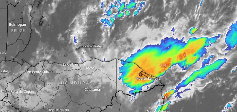
Here is this morning’s satellite. You can see storms to our east near Puerto Lempira. These will move west and bring us periods of heavy rain. The heaviest rain should be tonight into tomorrow morning, but we will have off and on rain through Sunday.
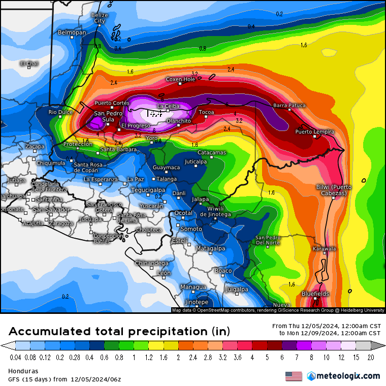
Here is the GFS rainfall foreccast through Sunday. You can see the heaviest amount, 14 inches, is forecast for La Ceiba on the mainland. But generally amounts should be higher the further south you go, so Utila should see more rain, perhaps 6-8 inches, and Guanaja, a little less.
Wind and Galaxy Wave forecast: Today we still have wavy seas around 5 feet with northeast winds 15-20 mph. We will have those winds all day, perhaps gusting in storms this evening. Tomorrow we will continue to have northeast winds 15-20 mph and seas 4 feet. Through the weekend winds at times will gust to 20-25 mph and seas will be 4-5 feet.
Things are looking a little better early next week, so if you are coming on a cruise next week, check out the excursions run by Jolly Roger Roatan for a guaranteed good time and on-time return to your ship.
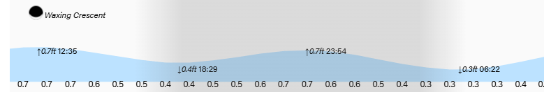
High and low tides are continuing to be mild. Have a great Thursday!
