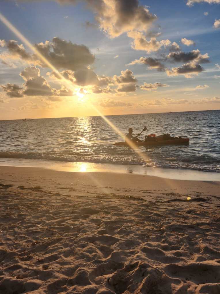
Good morning Bay Islands. Our photo of the day comes from Aaron Hardee. Aaron tells me the guy in the kayak is Sammy, who sells coconuts and pineapples on West Bay. Aaron is the last contested for a $50 gift certificate to Umbul Umbul. I’m still looking for a December sponsor.
There is A LOT to talk about, including a stormy day tomorrow and windy, wavy days Monday-Thursday morning.
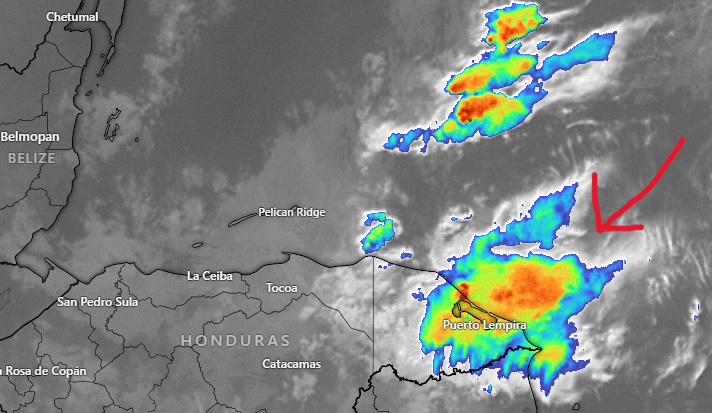
Let’s start with our satellite at 8:10 a.m. We can see some storms off the Mosquito Coast. These are forecast to become a pretty heavy storm that will pass over our islands tonight through tomorrow night.
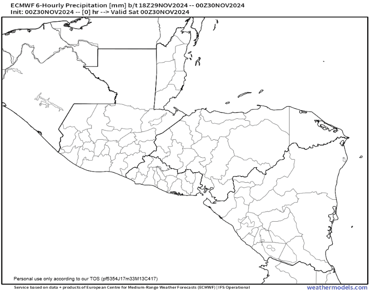
Here is the Euro model showing the storm’s progress through Monday, when things should get a little better, at least when it comes to the rain. Models are showing quite heavy rain, 4-8 inches, mostly on Sunday.
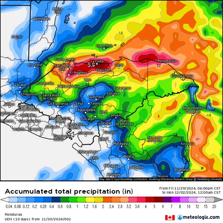
Of course, nothing is certain. The Canadian model pushes the rain more to our south, giving us only 1-2 inches.
Wind and Galaxy Wave forecast: Today and tomorrow we will be dealing with moderate winds and seas from the 15 mph and seas 3-4 feet. Monday and Wednesday will be very bad sea days, with northeast winds 20-30 mph and seas 6-8 feet. Tuesday will be only moderately better with northeast winds 15-20 mph and seas around 5 feet. Thursday things start to calm a little and Friday through the weekend should be normal on the seas.
We will have very fresh temperatures Wednesday and Thursday. I’m looking for morning lows at 70, or perhaps a degree or two cooler. Remember our all-time record low is 66.
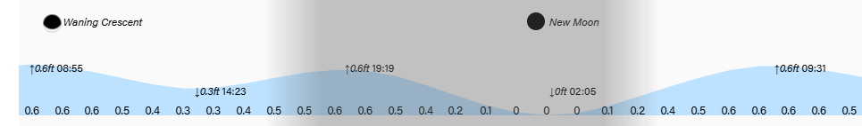
Lowest tide is 2 a.m. Have a great weekend!
