
Good morning Bay Islands. Our photo of the day comes from Claire Staffa, who caught some impressive, dark cumulus clouds at sunrise on Oct. 30. We should be seeing fewer cumulus clouds over the next few days as we get a much-needed break from the rain. Unfortunately there is more rain in the forecast for next week.
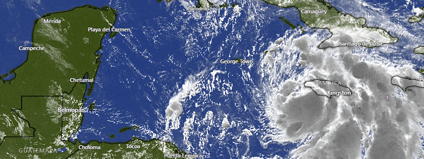
Let’s start with the satellite at 7:30 a.m. where we see Tropical Storm Raphael bringing rain and some wind to Jamaica. It is expected to strengthen and there are hurricane warnings for the Caymans and western Cuba. As predicted, though, this storm has brought us a little relief from our rain by drawing in moisture away from us. We will have lots of sun and a few clouds. It won’t be impossible to see a shower or two, but it should soon pass if you get one. We will be hotter than we’ve been, with highs into the upper 80s and lows around 78 or 79 through Friday.
Raphael will be caught up in a cold front in the US this weekend. The tail of that cold front will bring us higher rain chances this weekend.
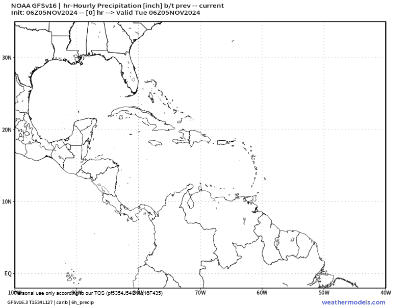
As we look toward next week we are reminded that we are still in hurricane season. Toward the middle of next week, the GFS sees some sort of tropical cyclone building in our part of the Caribbean. Since it is so far away, this isn’t an exact forecast, but most models agree the middle of next week will again be rainy, with the possibility of some sort of tropical development. We’ll keep an eye on it.
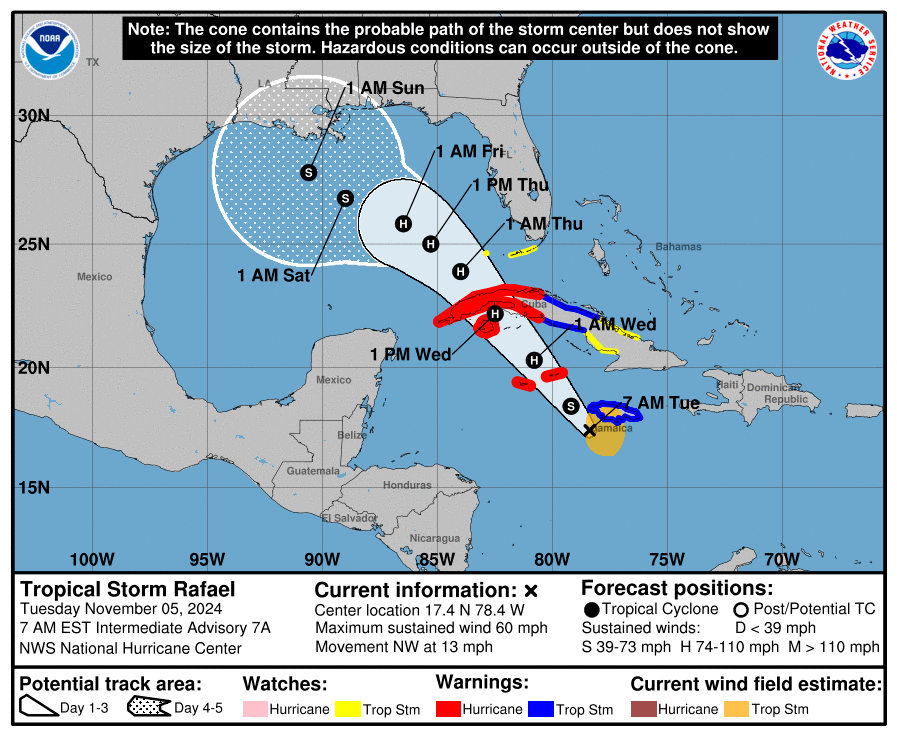
For those of us with friends in the Caymans, tell them to be watchful later today into tonight for a Category 1 Hurricane with winds 70-80 mph and lots of rain.
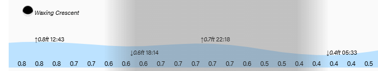
One more week of these very mild tides. Have a great Tuesday!
