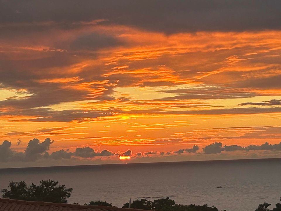
Good morning Bay Islands. Our photo of the day comes from Nana Paluch and shows the view from West End above Sunset Villas.
Yesterday most of us picked up 1-2 inches of rain. Most of us this morning have already picked up a quarter to half an inch as of 7:40 a.m. but Guanaja already has 1.5 inches!
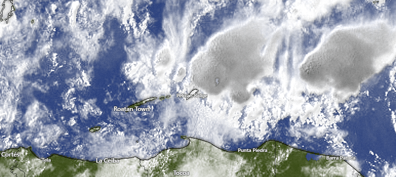
Here is our satellite at 7:45 a.m. and you can see the heavier storm near Guanaja. These are slowly moving from east to west. We will have a good chance of showers through the day with a few peaks of sunshine. Tonight we will also have a good chance of showers, but we should get a break tomorrow, perhaps into Wednesday morning. Wednesday midday and afternoon the showers pick back up, but perhaps not as much as we’ve had the past two days. Good chances of showers last through the weekend. There is still hope that next week might be drier, depending on what our tropical system does.
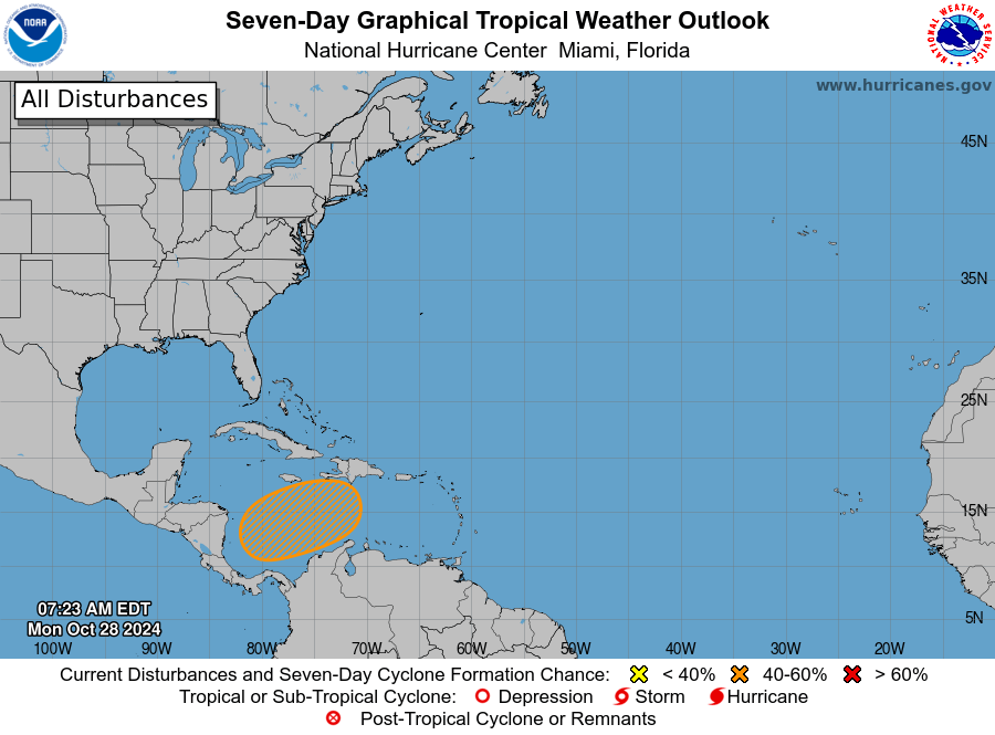
The National Hurricane Center has raised the chances of a tropical depression to 40 percent just north of Panama. If this develops, it would start this weekend. Most of the computer models have this storm moving north/northeast away from us but …
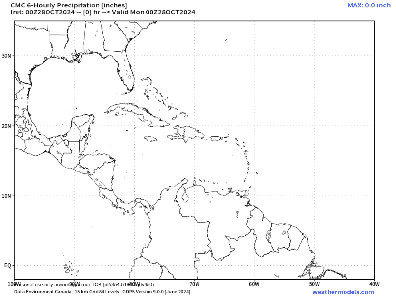
Here is the Canadian model, the one model that has the system rebounding closer to us. The end of this forecast is Nov. 6, so that is a long way away and I wouldn’t get too worried, but we will keep an eye on the possibility.
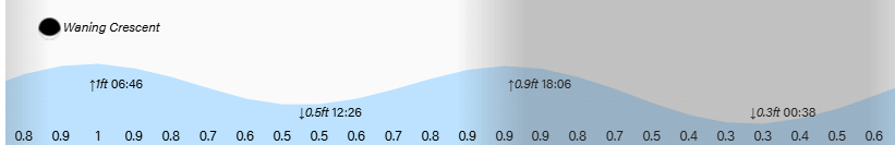
Wind and Galaxy Wave forecast: We wake up to north winds around 5 mph and seas around 3 feet. Winds will remain fairly calm and seas should calm to around 2 feet today and stay there for awhile.
Lowest tide is 12:30 a.m. Have a great week!
