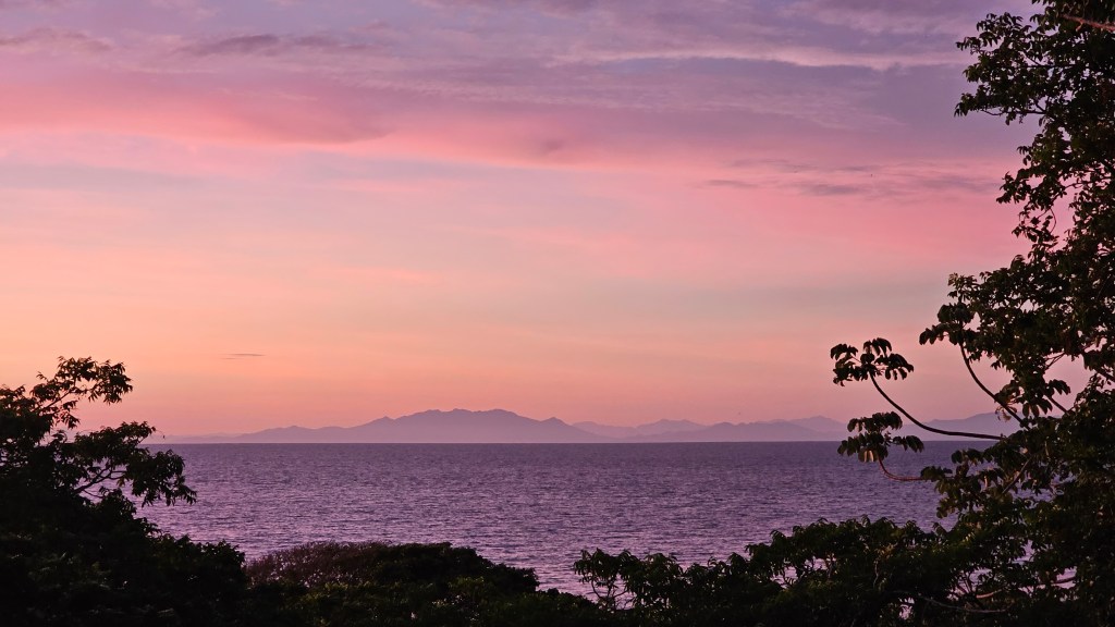
Good morning Bay Islands. Our photo of the day comes from Matt Harper in Saint Helene looking over toward the mainland. Often we get a clear morning after a rainy night. Last night around 10 p.m. many of us caught a thundershower that gave us around a tenth of an inch. This morning things are fair and hot. A cold front middle of next week promises to cool us down a couple of degrees.
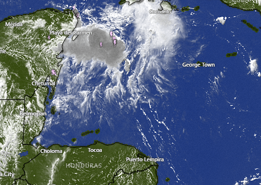
On satellite this morning we can see the tropical disturbance closing in on Cancun and Cozumel, Mexico. It may cause a tropical storm in the Gulf of Mexico early next week but will be no concern to us. We will actually have decreasing chances of rain overnights Sunday into Monday, maybe 20 percent. Tuesday we will start to see our winds turn to the west and Wednesday we will have west winds around 20 mph, seas of 3 feet north and west sides and good chances of rain even during the day as a cold front nears.
Wind and Galaxy Wave forecast. We will continue to have calm winds and seas through the weekend before winds start turning west on Tuesday and Wednesday will be a little windy and wavy from the west. Those conditions should last through Friday. Wednesday through Friday we should see our temperatures get knocked down from around 90 during the day to around 85. It will be a welcome cool down.

Carniceria Rosita will be open normal hours for the last day of the Morizanic holiday and ready to take your orders on WhatsApp for quick pickup.
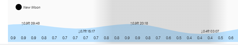
We are entering new moon phase. Have a great Friday!
