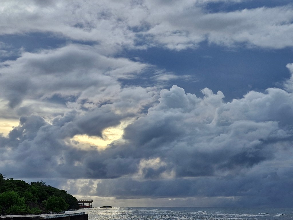
Good morning Bay Islands. Our photo of the day is from Joyann Villalta Sanders and shows some clouds over Calabash and probably some rain on the right side of the photo. We’ve seen scattered showers from our Potential Tropical Storm Helene, but being on the southwest side of it, we’ve been on the lighter side of things. Today we will have the best chance of seeing showers before it moves away.
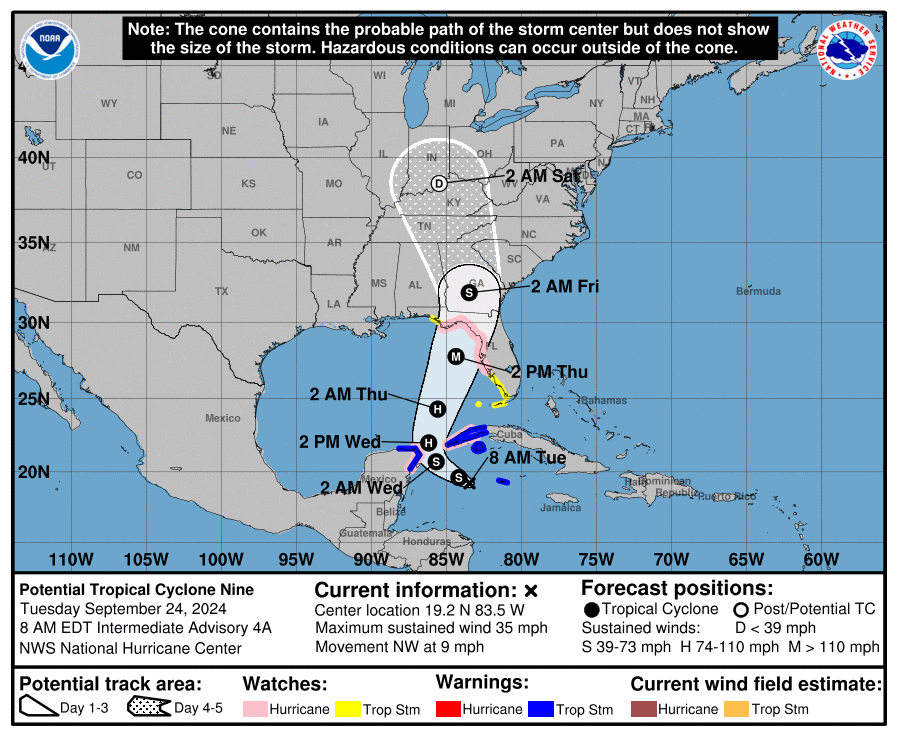
Here’s the current location and likely path of the storm.
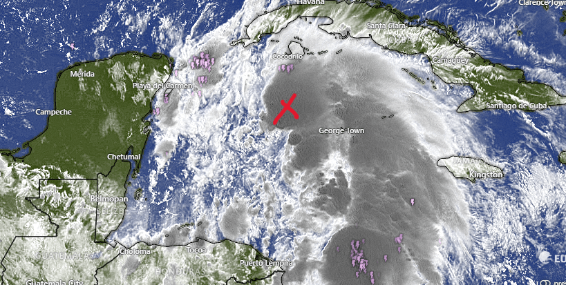
The “X” marks the center of circulation. You can see that most of the storm is to the east of the storm. This storm will continue to move northwest. As it moved toward where the Caribbean meets the Gulf of Mexico, we should see more scattered storms today and tonight. Some storms may linger into tomorrow morning. Let’s hope we get some rain, because our sea temperatures continue to linger just above 87 degrees (30C) and our reef needs some cooling rains.
After tomorrow morning we should go back to normal 40 percent rain chances, mostly overnights and early mornings.
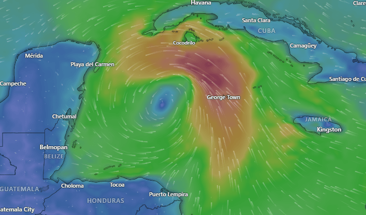
Wind and Galaxy wave forecast: Here is a computer model of winds in the Caribbean right now. Peak winds over Cayman are around 35 mph, below tropical storm status. We are getting 15 mph west winds and 2 foot seas. As the storm moves westward, our winds should go up to 20 mph and 3 foot seas, mostly north and west sides. Those winds will continue through tonight and tomorrow morning. As we get into tomorrow evening through the rest of the week we should get quite calm again.

Our winds and seas should be no problem for the professionals at Galaxy Wave. Unlike most trips, waves today and tomorrow will be coming from the west, so the trip to La Ceiba will be slightly bumpier than the trip back.
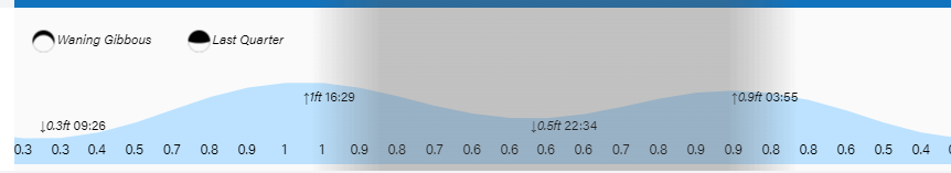
Tides continue to be on the high side. Have a great Tuesday!
