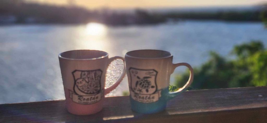
Good morning Bay Islands. Our photo of the day comes from Crystal Johnson on Jonesville Point and starts us off with his and hers cups of coffee to greet the day.
We are still watching for something to brew in the Caribbean, or maybe even the Pacific late this weekend.
Let’s start with our forecast for today and tomorrow. This morning we see a storm tried to get going off the coast of the mainland, but lost strength. Otherwise we just have a few popcorn clouds. We should be dry today and probably tomorrow, though we will have a chance of an overnight or early morning shower. As we get into the weekend we should start seeing the scattered showers increasing.
Our winds continue light, from the east at 10 mph and seas around 2 feet. We should stay around there today, perhaps getting a little calmer tomorrow into the weekend.
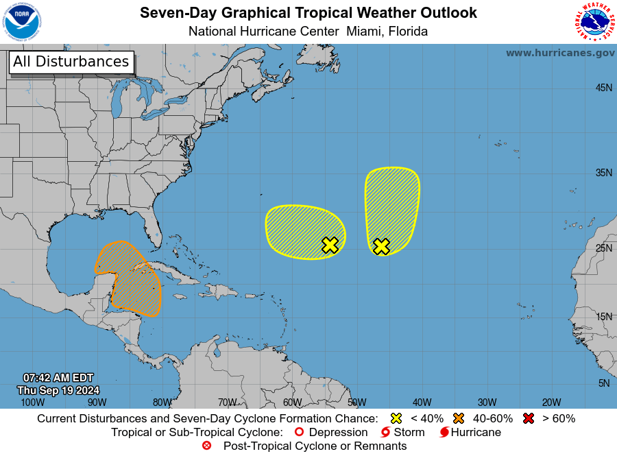
The National Hurricane Center now gives us a 40 percent chance at a tropical depression in the next seven days, though you will notice we have no low pressure system (no X on the map). There is a great deal of uncertainty as to exactly where this system will form, though generally we should expect an increase in rain Sunday into Monday and perhaps Tuesday.
The German ICON actually has the center of the storm brewing in the Pacific on Saturday before moving across the mainland toward us. Keep in mind that there is almost zero chance that we have a tropical storm affecting us. We will have a tropical wave giving us showers and storms that will very possibly become a tropical storm for the Gulf of Mexico to deal with.
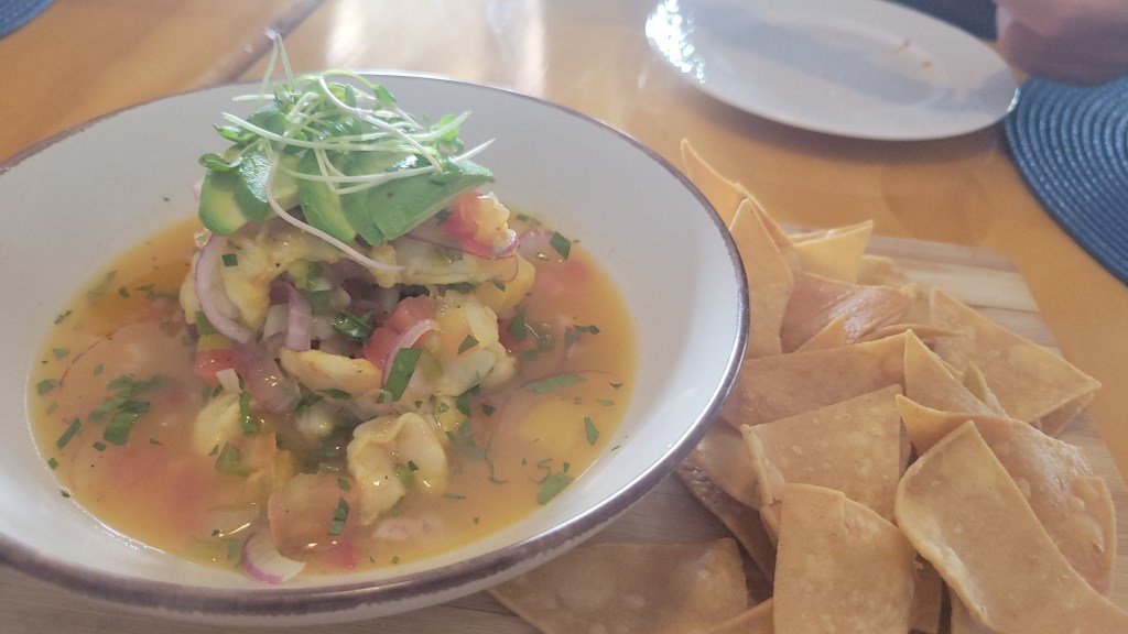
In the meantime we will have some nice weather today, likely through Saturday, so it will be a great time to sit outside and watch the bay at French Harbour at Ikigai by Robby Molina and enjoy the best ceviche on the island by a Top 100 chef in Central America.
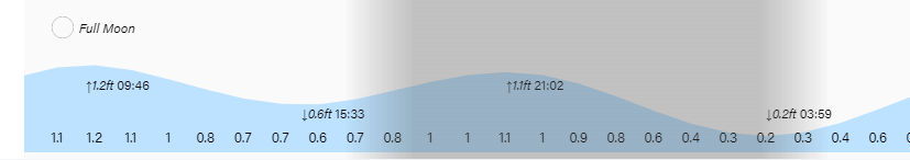
Did you catch that super moon last night? I love the way the moon looks reflected off the water. Have a great Thursday!
