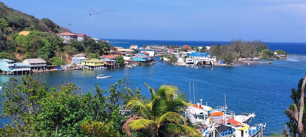
Good morning Bay Islands. Our Photo of the Day comes from Joe Burne and is taken from Oakridge, looking out toward Pandy Town and Oakridge Cay. This morning we are dealing with a few showers especially on the east side that have brought an inch and a quarter of rain to Guanaja and about a tenth of an inch for Oakridge.
You can see a lot of rain to our east this morning. This satellite at 6:45 a.m. looks a lot like yesterday’s. The rains stuck around a little longer than usual before clearing out for the afternoon yesterday. We’ll see how long these can stick around this morning and if they can give us more morning rains but, again, we should clear out for the afternoon.
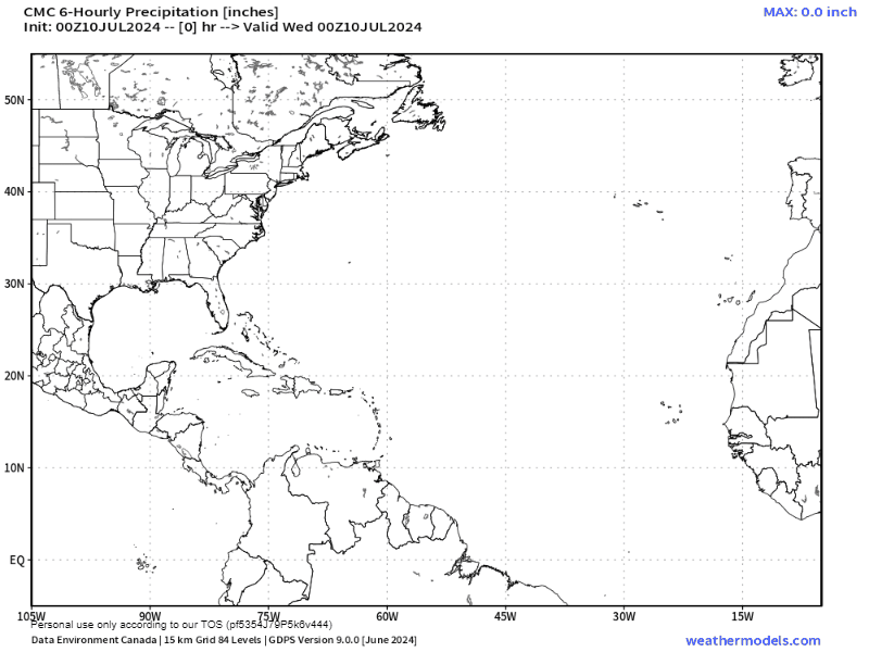
You may wonder why July gets wetter when March and April are so dry. Part of the reason is the Bermuda High, which you can clearly see in this forecast map of the Canadian model. The high pressure system creates the clockwise movement in the Atlantic off the US East Coast, roughly over the island of Bermuda and pushes moisture on its south side in a westward motion toward us. This doesn’t mean rain every day, but it keep the moisture coming and gives us a 30-40 percent chance of rain each morning.
Wind and Galaxy Wave forecast: We will continue to have east winds around 15-20 mph and seas 3-4 feet overnight and in the early mornings and 2-3 feet midday into the afternoon. These winds should continue until Monday. Much of next week looks a good bit calmer than this week.
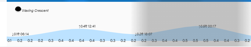
Tides continue to be moderate. Have a great Wednesday!
