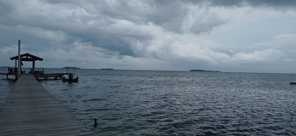
Good morning Bay Islands. Our photo of the day comes from Annette Huskin in Guanaja and shows the clouds threatening, but never quite raining at Brick Point. Yesterday a few of us got some sprinkles, but not much more. One thing the rain around us did was keep temperatures down. The high at the airport was 87 (31C) and it was noticeably cooler than those days last week when we got up to 93 (34C). The odds are that eventually some of us will get wet this week, the big question is when.
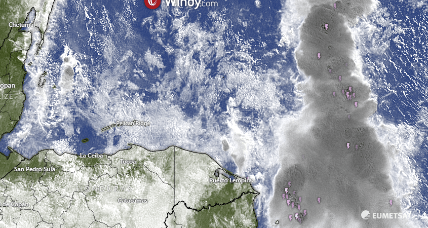
On satellite we can see a large area of showers and thunderstorms well to our east. Unfortunately it is only slowly drifting southwest and will weaken before it ever gets close to here. We have a few broken clouds around us but nothing promising rain. Each day this week we will have a chance of a morning shower, and right now it looks like the chances get a little better toward the end of the week, maybe 40 percent chances each morning.
Wind and Galaxy Wave forecast: We’ve been having 10 mph west winds and 2 foot seas in the mornings that switch over in the afternoons to 5 mph east winds and 1 foot seas. That will continue, but as we get toward the middle of the week the winds and seas in the mornings will get slightly higher, around 15 mph and 3 feet, with afternoon winds 5-10 mph and 2 feet starting Wednesday. Today and tomorrow we will continue to be 1-2 feet midday, so a great day for those Jolly Roger Roatan excursions.

It’s a challenge to find a good restaurant open on Monday, because many of them understandably take the day off. So if you want to eat out today, Ikigai by Robby Molina is staying open especially for you, and it doesn’t close until 9 p.m.!
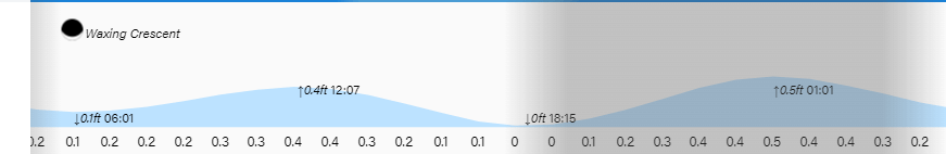
Lowest tide will be 6:15 p.m. Have a great week.
