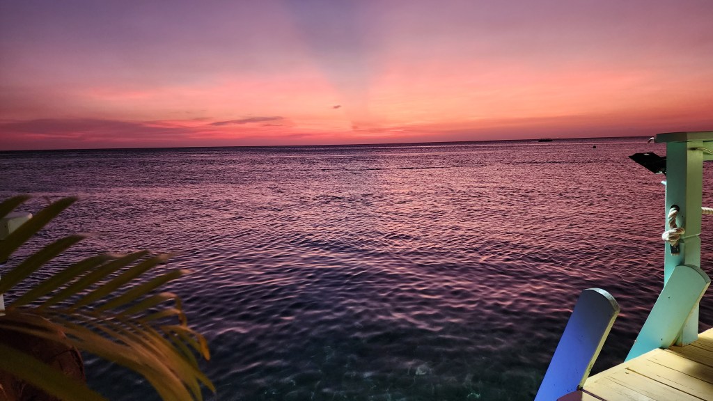
Good morning Bay Islands. This morning we have a photo from Kacee McDonald taken from Ipanema Bar and Grill in West End, a place that’s close to my heart, though I’ve never been there, because it includes the title of one of the best songs ever recorded.
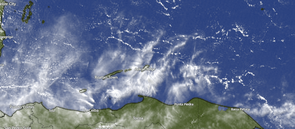
On satellite this morning we can see those high, dry cirrus clouds coming from our west. There are only a few cumulus clouds around and, therefore, very little chance of rain today and tomorrow. As we get into Thursday and Friday we will see our chances of rain increase, but keep in mind, rain will not be likely on any day. Our chances this weekend will only increase from the current zero to about 30 percent.
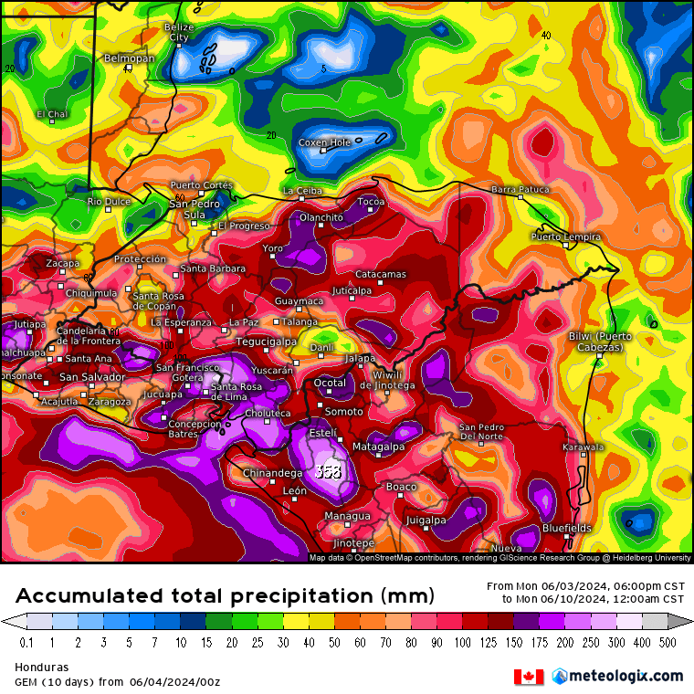
When talking about rain this time of year, we are talking about squalls coming from our east and, unfortunately, those squalls often die before they get here. Unlike our winter northerlies, when the wind hits the mountains on the mainland and create updraft for rain, we have no mountains to our west, and therefore no mechanism to create updraft. This forecast map from the Canadian model through the weekend shows a hole in the rainfall right over Coxen Hole. With rain showers around, we can still hope for some cooling rains somewhere, but there is no guarantee you will get any at your house. Yesterday we were 91 degrees (33C) at the airport. With rain nearby, I’m still hoping this weekend will be slightly cooler, maybe with a high around 87.

Wind and Galaxy Wave forecast: We wake up to winds around 10 mph from the east/northeast and seas at 2 feet. They will calm today to 1-2 feet and get even calmer as we get into the week. If you are someone who doesn’t llke a choppy sea, the next week will be the perfect time to hop aboard the Galaxy Wave to do some shopping in La Ceiba or make that weekend visit to Guanaja you’ve been promising yourself. It will definitely be smooth sailing (or ferrying) through the weekend.
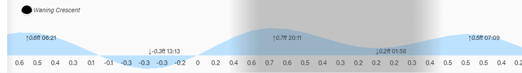
Low tide is 1:15 p.m. Have a great Tuesday!
