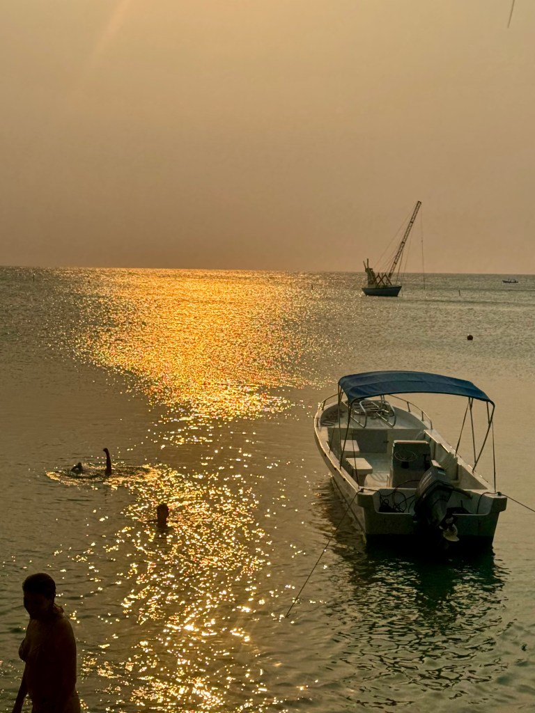
Good morning Bay Islands. This morning’s photo is from Regina Alpaugh at Half Moon Bay and I’m hoping it’s the last smoke photo we do. This morning we have 7000 meter visibility at the airport. That’s pretty good, though not as good as yesterday morning. Typically visibility will get a little worse midmorning before getting better in the afternoon.
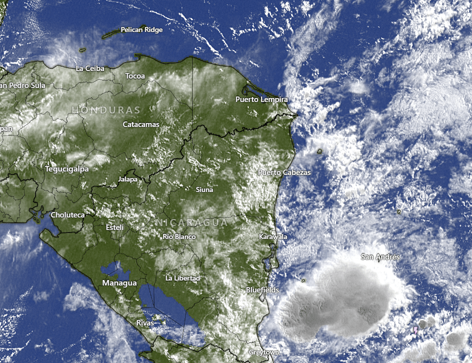
On our satellite we have some high clouds near the islands and to our southwest, but the main feature is the storminess off the coast of southern Nicaragua. This moisture will generally move northwest over the next few days. We will have small rain chances, especially in the morning but the mainland will have better chances. That will mean fewer fires and maybe knock our temperature back a couple of degrees, from 90-91 (32-33C) to 88-89 (31-32C).
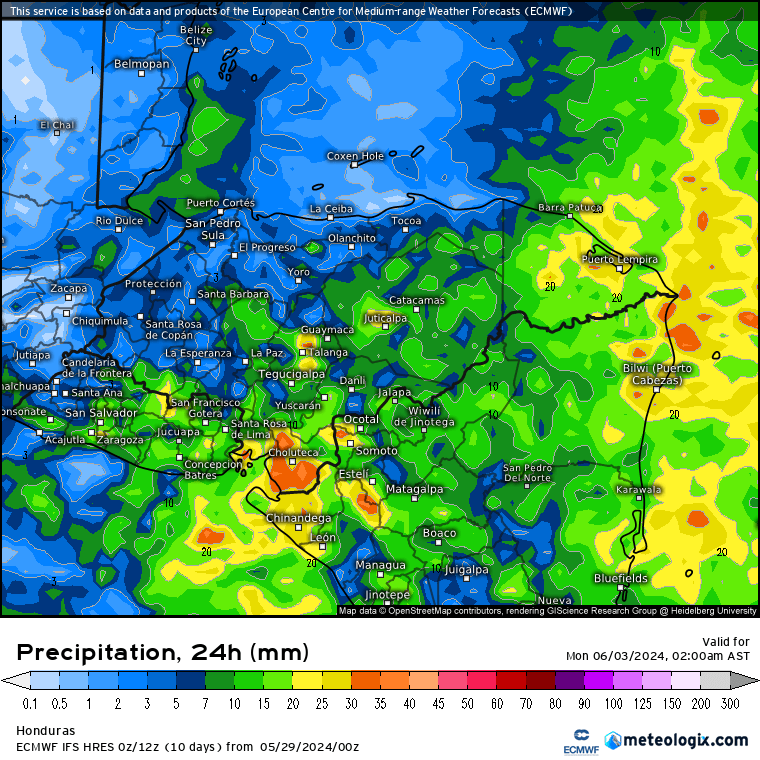
When you look at this forecast for rainfall through Sunday night, you don’t see a lot of rain for the islands, just a few millimeters (hundredths of an inch). But at least you see a chance for SOME rain, which is more than we’ve been able to say the past few week. Plus rain in eastern Honduras should help put out the rest of the fires.
Wind and Galaxy Wave forecast: For today, tomorrow and Saturday, we will have east winds 15-20 mph and 3 foot seas during the nights and 10-15 mph and 2 foot during the day. Starting Sunday winds calm a good bit, getting almost flat calm mid to late next week.

When I’m in the States one of the things I miss the most is Carniceria Rosita smoked pork chops. There’s nothing like them, even in the US.

Tides continue to be quite mild. Have a great Wednesday.
