
Good morning Bay Islands. Our photo of the day comes from Josée Massicotte and shows a spooky leaf in front of the full moon. It is so spooky, in fact, that Josée suggested I save it for October, but I have to say with all this smoke around it is has been pretty spooky in May. What was also spooky is how the Agencia Hondureña de Aeronáutica Civil – AHAC first closed the airport yesterday with 2000 meter visibility, then immediately reopened it and deleted the first message like it was a mistake. I thought that 2000 meters was too little visibility for the airport to be open, but maybe I’m mistaken. We’ll find out soon because the airport is at 2000 meter visibility again this morning.
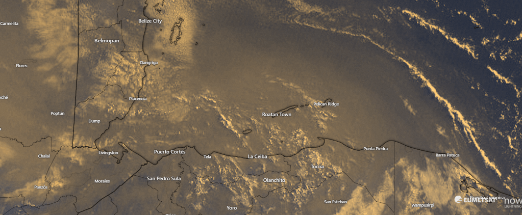
On satellite we’re seeing just as much smoky haze as we have at any point this smoke season. This has clearly been the longest period of smoke we’ve seen in the five years I’ve lived on the island. A lot of that has to do with the extended drought we’ve had.
Wind and Galaxy wave forecast: We wake up to east/southeast winds at 20 mph and seas 4 feet southside. Winds should calm midday to 10-15 mph and seas 2-3 feet. We will continue that familiar cycle for the next few days.
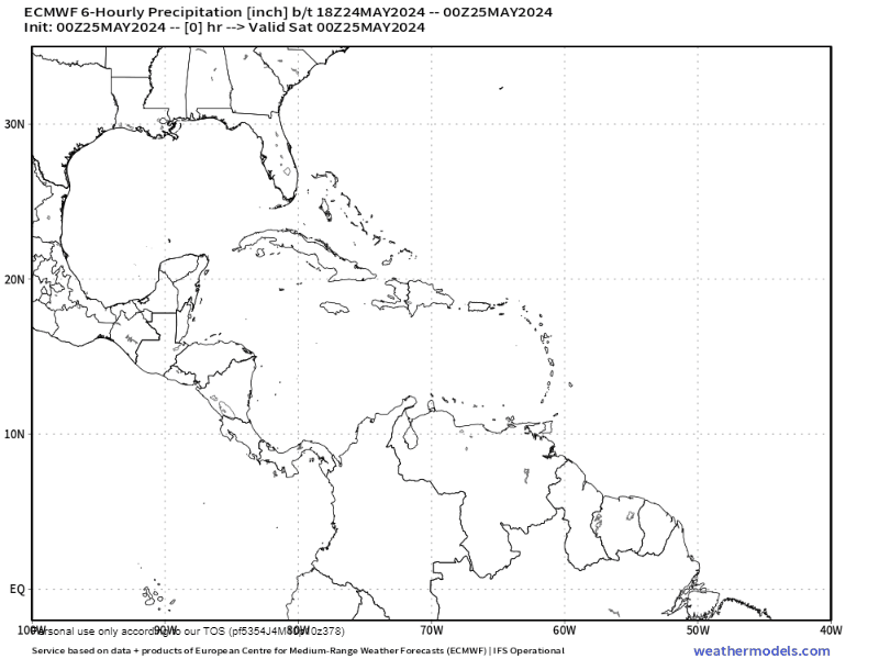
We’re continuing to watch the chance of increased rain chances starting middle of next week. When we say increased rain chances, we’re talking 20-30 percent each day starting about Wednesday. It looks like the chances will be better the farther east you go, so Guanaja will have better chances than Utila. Hopefully we can get some rain on the northeast coast of the mainland to knock down some of these fires.
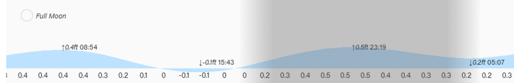
Low tide is 3:45 p.m. Have a great weekend!
