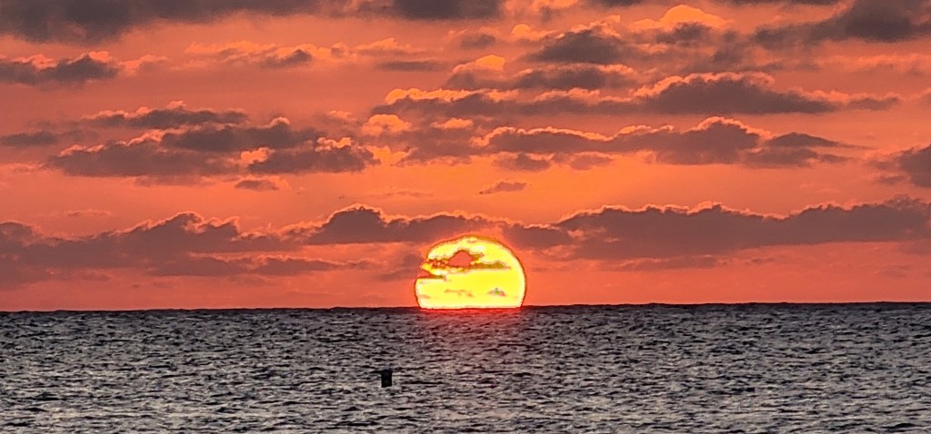
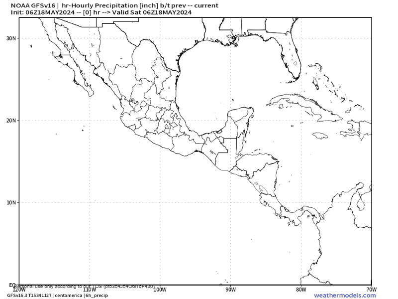
Good morning Bay Islands. Our photo of the day was taken by Dawn Schoenherr at Blue Bahia Beach Grill, and if she gets enough likes she could get $50 toward more meals and great pictures there. Don’t forget to send your photo to bookmybio@gmail.com with name and location. We start the day with poor visibility and a little hope that things are slowly getting better.
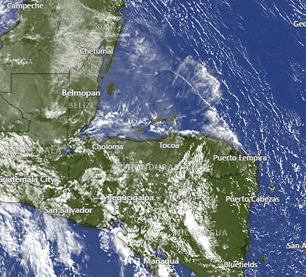
On our satellite we can still see the smoke plume over us, but we also see a few more clouds over the mainland. It seems that some locations near San Pedro Sula got a little rain. More rain on the mainland means fewer fires and less smoke. As we get into next week, while there is no rain in our forecast, the mainland may get a little, which will help.
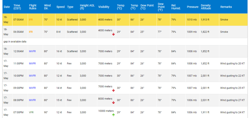
I mentioned last night that our visibility had gotten back to 10 km (the maximum) last night for the first time in about a week. We are back down to 4000 meters this morning, which is close to the trigger for closing the airport. We will see what happens soon (it seems like a decision is made around 7:20 a.m. daily). The past few days the closing has only been for a couple of hours in the morning and has mostly delayed the morning flights from the mainland. Let’s hope that continues.
Wind and Galaxy Wave forecast: Today we wake to 20 mph east/southeast winds and seas 4-5 feet. We will stay right around there today and tonight we will again get windier, to 25-30 mph winds and seas 5-6 feet south side, but starting tomorrow we will get calmer. Sunday with east winds 10-15 mph during the day and seas around 3 feet and around 20 mph at night. Utila will even pick up some westerly and northerly breezes. Monday and Tuesday look like days when midday we will be fairly calm.
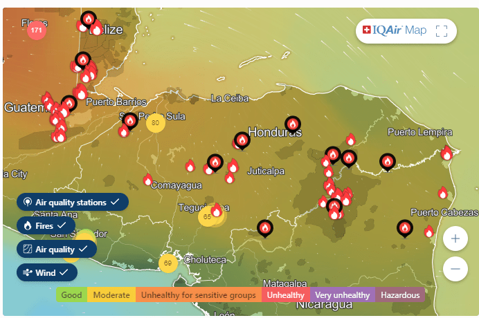
While we are still dealing with smoke, there is hope on the horizon. Whatever San Pedro Sula got last night in rain got their Air Quality Index to improve to 80. It was nearly 200 earlier in the week.
We aren’t getting very cool overnight. A lot of that has to do with the smoke and clouds keeping the heat in. Most of us are only getting down to 85 (29.4C) overnight. On the bright side, the airport only gave us a high of 89 (31.7C) because that same haze is keeping the solar rays down.
I hate to put too much hope in a long-range forecast, but the GFS is trying to give us a pattern change with more rain starting at the end of May into the first of June.
This coming Tuesday looks like a lower wind day. Tuesday is also a big cruise day. If you are planning your shore leave from your cruise, ask about booking with Jolly Roger Roatan. They get you to a great excursion on a comfy catamaran and back to your ship in plenty of time.
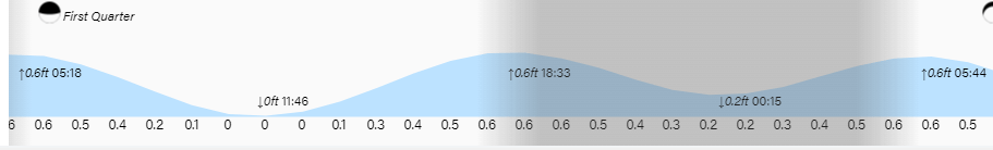
High tides here on Jonesville Point have seemed a little higher than normal, up over our little piece of beach. Low tide is 11:46 a.m. Have a great weekend!
