Now that our boring forecast is out of the way, let’s talk about what the months ahead are going to be like. Let’s start with what our weather is normally. If you check out my Q&A here at https://roatanweather.org/frequently-asked-questions-about-roatans-weather/ you’ll learn that I usually don’t do temperature forecasts, because temperature here is almost always the same, especially in the period April-early October. If it isn’t really hot, it’s because it is cloudy and/or very windy. If the wind is calm and it’s sunny, you’re going to be sweating and wanting to jump in the ocean. By that measure, our hottest months are usually May and September, times when we have very little cloud cover and calmer winds (esp. September). June-August is not quite so hot, because we get a few more waves of moisture from our east giving us showers, especially in the mornings. In 2023, we had one of the hottest, driest summers in memory. Our sea temperature got up to 90 degrees (32C) and resulted in coral bleaching. Some people say this is because of our strong El Niño combined with global warming. So, what does this summer hold for us?
According to the US weather service NOAA, forecasters estimate an 85% chance that El Niño will end and the tropical Pacific will transition to neutral conditions by the April–June period. There’s a 60% chance that La Niña will develop by June–August. El Niño is caused by warmer than normal waters in the eastern Pacific. La Niña is caused by cooler than normal waters in the easter Pacific. What does that mean for us? As far as I can tell, not much, at least for our day-to-day weather. I went back through 25 years of rainfall statistics and could find no correlation between El Niño/La Niña years and how much precipitation we got.
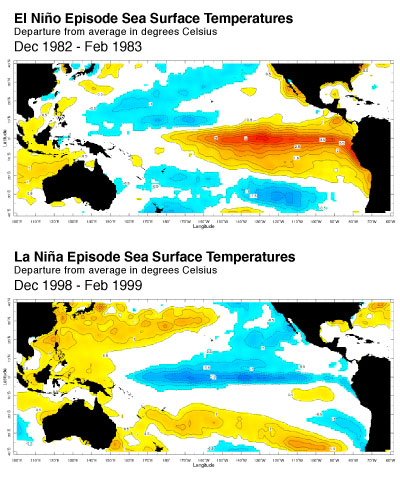
And as this chart shows, a strong El Niño or La Niña doesn’t seem to have much effect on our sea temperatures here in the Western Caribbean. This means that the effects on us have more to do with global trends. Are water temps higher globally? Is there less wind shear, and therefore strong hurricanes in the Atlantic making their way here? We will talk about that later in the week.
