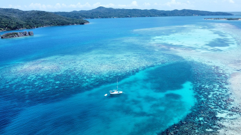
Good morning Bay Islands. Our photo of the day is a bird’s eye view from Andrea Radoff and her City Dogs sailboat in Port Royal. Whenever I’m here I visualize the pirate ships anchored here 300 years ago. This side of the island will be nice for boating today, but will get quite wavy as we get into the week ahead.
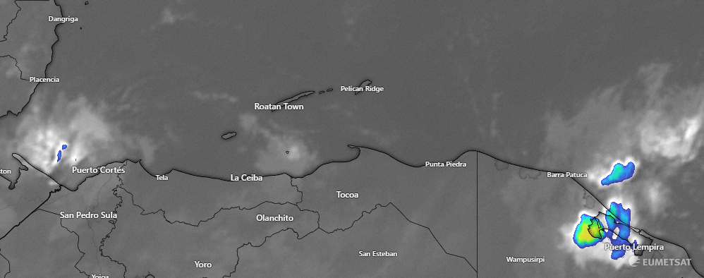
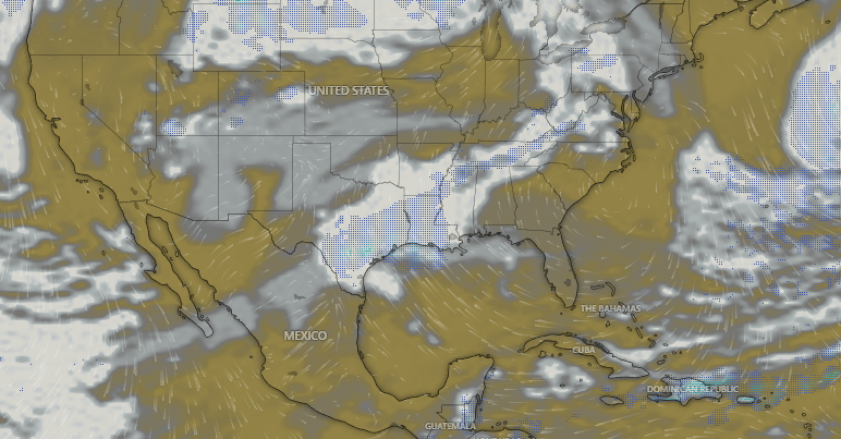
Let’s start with this morning’s satellite. We can see shower activity at 6:50 a.m. northwest of Puerto Cortes and around Puerto Lempira on the Mosquito Coast as well as a small shower near the Cayos Cochinos. All of this is moving east to west but we are unlikely to see any of it on the islands. Yesterday Guanaja was the big winner, with 3 inches on the south side of Guanaja and 2 inches on the north side. After this morning there is no rain in the forecast until Friday, when a weak cold front gets close and gives us 20-30 percent chances of rain again. By midweek we will be getting quite hot, with temperatures in the low 90s for highs. We were 88 at the airport yesterday and will be right around that today.
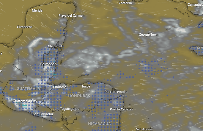
Let’s talk about cloud cover at noon on Monday when we will have a 40 percent eclipse here on the islands. We will start the day with a lot of clouds, but by noon we should have partly cloudy skies. So we may have to deal with a few clouds, but if you have your safety glasses, we should have a decent look.
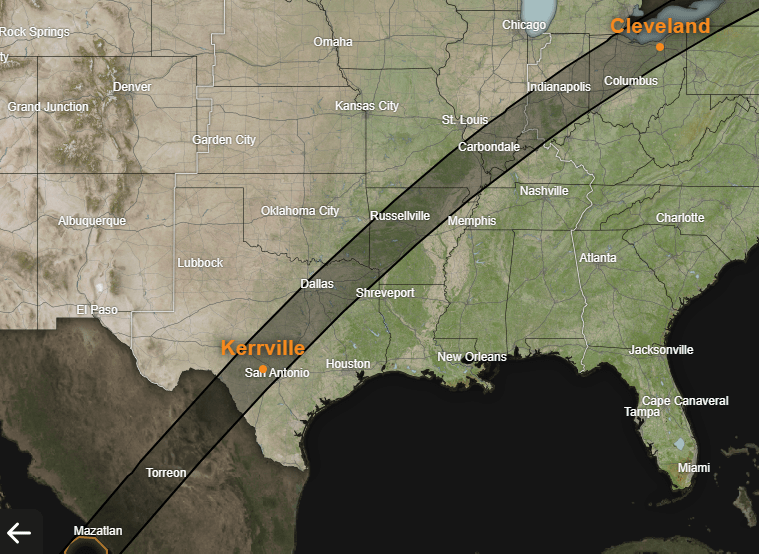
This is the path of totality, going from Mazatlan, Mexico through San Antonio, Dallas, Cleveland, Maine, New Brunswick and PEI, Canada.
Unfortunately, most of the path is also the path of a cold front extending through North America. This is the GFS cloud forecast, and much of the southern and northern US area of the eclipse will have total cloud cover. In the US, the best area is probably around Indianapolis and then also in Maine. The Canadian Maritime part of the eclipse will also likely be clear.
When it comes to the wind forecast, this is definitely the week you want to trust an experienced outfit like Jolly Roger Roatan. Today will be nice on the seas, with east winds around 10 mph and seas around 2 feet. Starting tomorrow we get into the trade wind period with daytime winds around 20 mph and nighttime winds around 25 mph. These will last until the cold front comes on Friday and calms our winds.
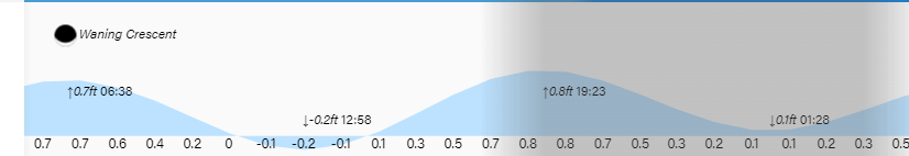
Low tides are 1 p.m. and 1:30 a.m. We are getting close to the new moon, which you have to have to get an eclipse. Have a great weekend!
