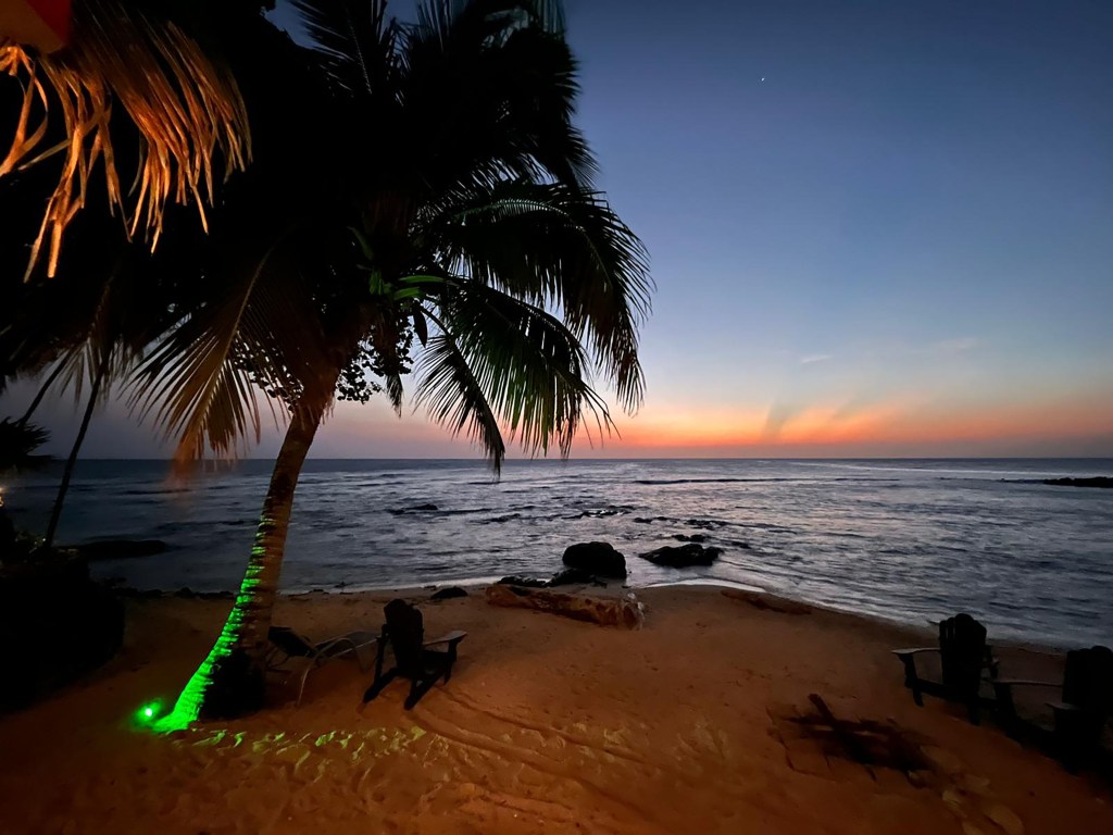
Our photo of the day comes from Julie Elpus at the far western tip of West Bay at dusk. If you’re at West Bay Beach this morning you’re seeing an unusual sight — waves caused by a west wind. We have a chance of rain tomorrow morning and a better chance of rain for Good Friday, along with some cooler temperatures.
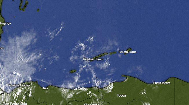
Let’s start with what we’re seeing this morning. There are a few popcorn clouds out there and radar is showing a shower north of Guanaja that doesn’t seem to be moving much. We will keep a small chance of rain today under partly cloudy skies.
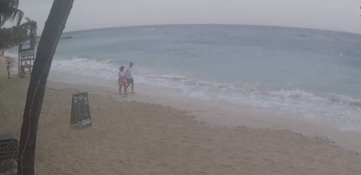
As you can see from this screenshot of a webcam, waves are hitting West Bay Beach because of 15 mph west winds this morning. We will have those winds through midday, but they will start to die down and the overnight will be quite calm. Tomorrow we will have north/northeast winds 10-15 mph and seas 3 feet on the north side, along with a 30 percent chance of a morning shower. Skies should be clear and light winds turning back to the east for the Memorial of Christ’s Death tomorrow night. Monday looks like a day with strong east winds, but Tuesday winds look milder and Wednesday winds turn back to the west in advance of the cold front coming at the end of the week.

Rainfall projections give us 1-2 inches by the end of the week. The cold front is still almost a week away, so this can change, but some rain Thursday night into Friday is looking quite likely.
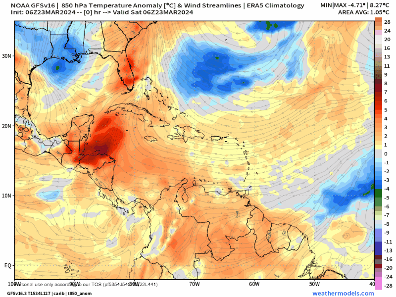
I know the idea of getting rain this Friday is disappointing to a lot of folks, but on the bright side it will mean cooler temperatures, especially for Friday and Saturday. We’ve been quite a bit above average with highs 88-90 degrees (31-32C). When we get the cold front on Friday we should get knocked down to lows in the low 70s (22-23C) and highs around 81 (27C), which will feel very refreshing.

Just a quick reminder of the special ferry schedule for Semana Santa. Lots of opportunities to visit friends and relatives over the holiday week.
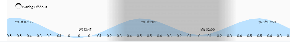
Low tides are 1:50 p.m. and 2 a.m. Have a great weekend!
