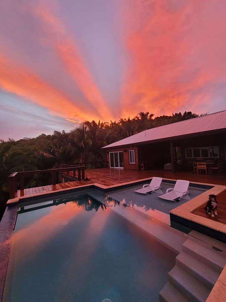
Good morning Bay Islands. Today’s photo comes from Kristi Voves in Palmetto Bay and gives us happy rays of sunshine above and below. We will continue to have plenty of sunshine, but tomorrow we will see less wind and Sunday through Tuesday morning we have a chance of rain.
Let’s talk first about wind. Today we will see winds much like yesterday, calming to 7-12 mph from the east through the middle of the day with 2-3 foot seas on the south side. Except for Utila where today will be a quite calm day. We will get back up to 20-25 mph east winds tonight, but tomorrow through Thursday morning winds will be quite calm at 5-10 mph and seas will be 2-3 feet, even through Wednesday night. We get windier Friday and Saturday, but Sunday winds turn to the west, and as islanders know, a west wind has a better chance of rain.
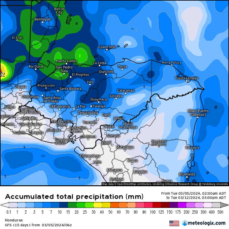
With those west winds will come chances of rain, but we probably won’t get a whole lot of rain. This GFS rain forecast through Tuesday at noon shows an inch to our west, but mostly a quarter to half an inch for our islands. The small rain chances (30-40 percent each day) start Sunday and run through Tuesday morning.
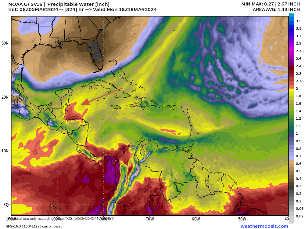
In the extended forecast, we have hopes of an even stronger rain system coming March 17-20. You can see that most of our rich moisture (red color) has been down around the equator. In fact Peru has had some pretty devastating flooding. But we have been in the dry greens and blues. But a cold front will drag some rich wet air down our way, so hopefully we can get an inch or two out of this two weeks from now.
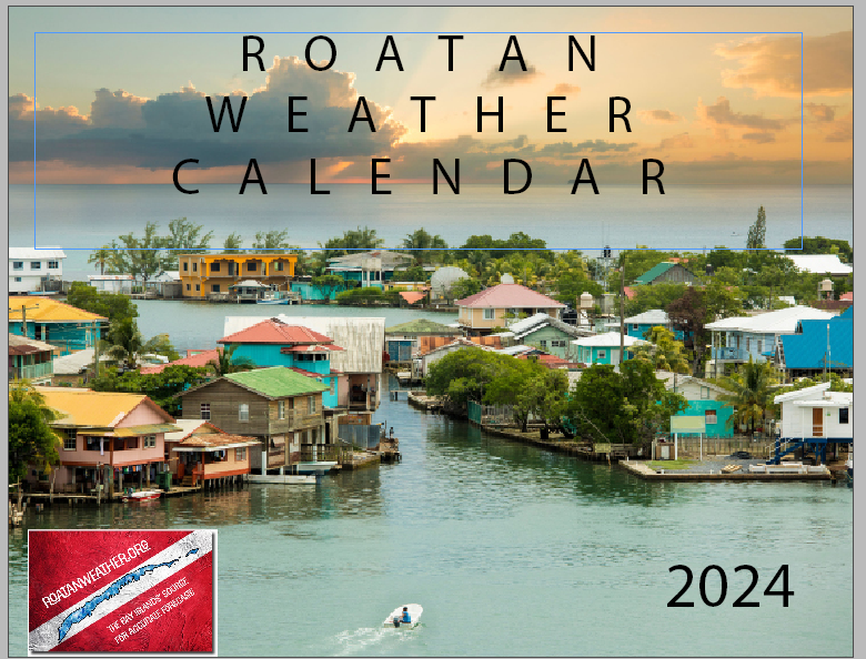
I will be heading down the line to deliver calendars today. If you want one at 200 lemps, send me a message.

Low tides are 11:30 p.m. and 11:30 a.m. Have a great Tuesday!
