
Good morning Bay Islands. Our photo of the day is a gorgeous sunset in West End taken by Cesar Soler. Don’t forget the top five liked photos compete for $50 in Carniceria Rosita meat on Wednesday! Between now and then we’re going to get wet.
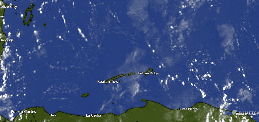
On our closeup satellite we can see a few popcorn clouds moving to the northwest. There will be a very small chance of catching a shower during the day in advance of our cold front.
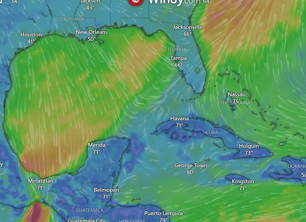
Rain forecast: This wind map shows very clearly where our cold front is a 7 a.m. We will see increasing clouds this afternoon and rain should start tonight. We should have off and on rain, heavy at times, through the day tomorrow. Right now most forecasts give us only 1 or 2 inches on Roatan, but the numbers get bigger the closer you get to the coast, with La Ceiba forecast to get about 4 inches. Light rain may stay around for Tuesday and Wednesday.
Wind and wave forecast: We start the day with east/northeast winds 10 mph and seas 3 feet on the southside, 2 feet on the northside. Those winds should switch to the north, but stay pretty calm today. When you first wake up tomorrow winds may not seem too bad, but around midmorning we should start getting north winds 20-30 mph and seas 6 feet on the north side. Tuesday north winds will calm during the day, but may start out around 20 mph and seas 4-5 feet. Wednesday and Thursday look like good wind and seas day with a light north/northeast breeze.
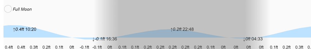
High and low tides will be pretty mild as we move past the full moon phase. Have a great Sunday!
