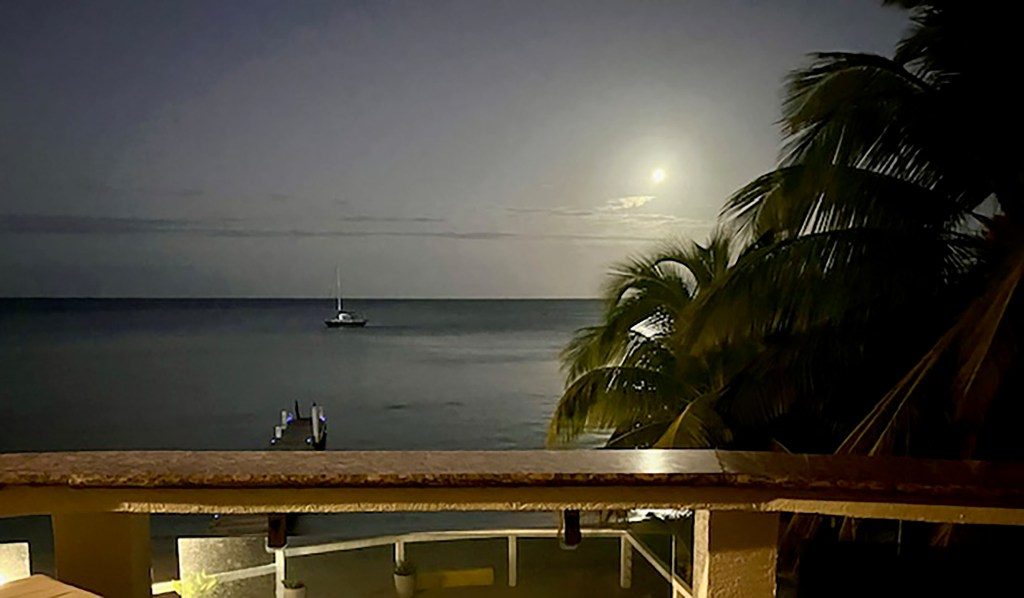
Good morning Bay Islands. The photo of the day comes from Johnny Paradise in West End. I picked it because we are now in full moon and I have a special place in my heart for these nighttime photos with the moon shining off the water. When you send your photos to bookmybio@gmail.com don’t forget to include name and location.

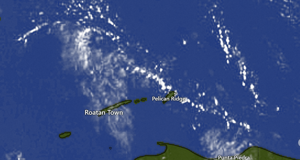
This morning we were all dry except for Guanaja, which got a quarter of an inch around 3 a.m. They also got a small shower yesterday afternoon. People say a lot of things about differences in rain across the islands, but I can’t wait to have a full year of data from Guanaja for a true comparison.
Rain forecast: At 7:30 a.m. there are some popcorn clouds over Guanaja, so someone might see a small shower, but most of us will stay dry. For tomorrow morning we’ll go with a 30 percent chance of a morning shower, especially to the east, but Saturday will also be mostly dry. Sunday evening we’ll see an increase in clouds and probably the start of rain Sunday night. We will have the possibility of heavy norther rains on Monday, lingering into Tuesday morning.
Here’s the rainfall forecast for Monday. It’s giving us around 2 inches but you can see the numbers go up the closer to the coast you are. This is a classic norther setup as those north winds hit the mountains on the coast and rain themselves out.

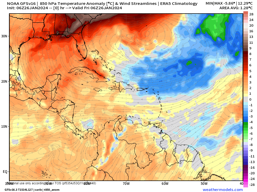
Temperature forecast: I don’t often do temperature forecasts because the temps are almost always the same, but when there’s a norther we definitely get cooler weather. Here’s our current temperature map, with temperatures a little above normal. That means mid-80s for highs.
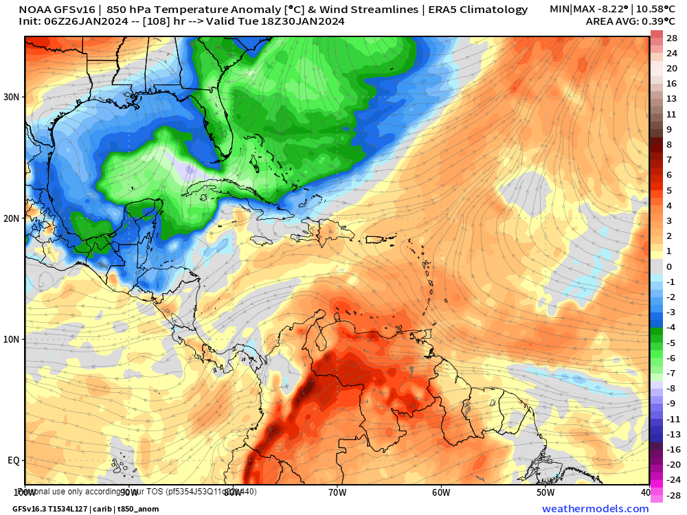
Here’s Tuesday night’s temperature forecast. Tuesday night looks like the coolest night of the norther. It shows temperatures 3-5 degrees fahrenheit below normal. For most of us that means right around 70 (21C) and perhaps some 68s and 69s (20C). Most of next week will be below normal, even when the sun comes out starting Tuesday afternoon, with highs around 80 to 82 (27C).
Winds forecast: Yesterday was actually a little less windy, with winds 25-30 mph instead of the 30-35 mph we had Wednesday. Today we will have one more day of strong trade winds from the east at 22-27 mph and seas around 5 feet on the south side. Tomorrow will be a little calmer with east winds 15-20 mph and seas 3-4 feet. Sunday will be quite calm with winds 5-10 mph and seas 2 feet. Sunday evening we will see the winds switch to the north. Monday morning should still be fairly calm, but by Monday evening we will be seeing north winds 20-30 mph and seas. Tuesday things get calmer at 15 mph and seas 5 feet. The rest of the week looks quite nice, with a small north breeze.
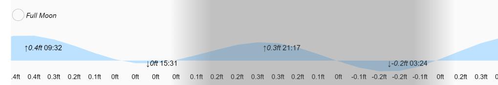
Low tides are 3:30 p.m. and 3:30 a.m. under our full moon. Have a great Friday!
