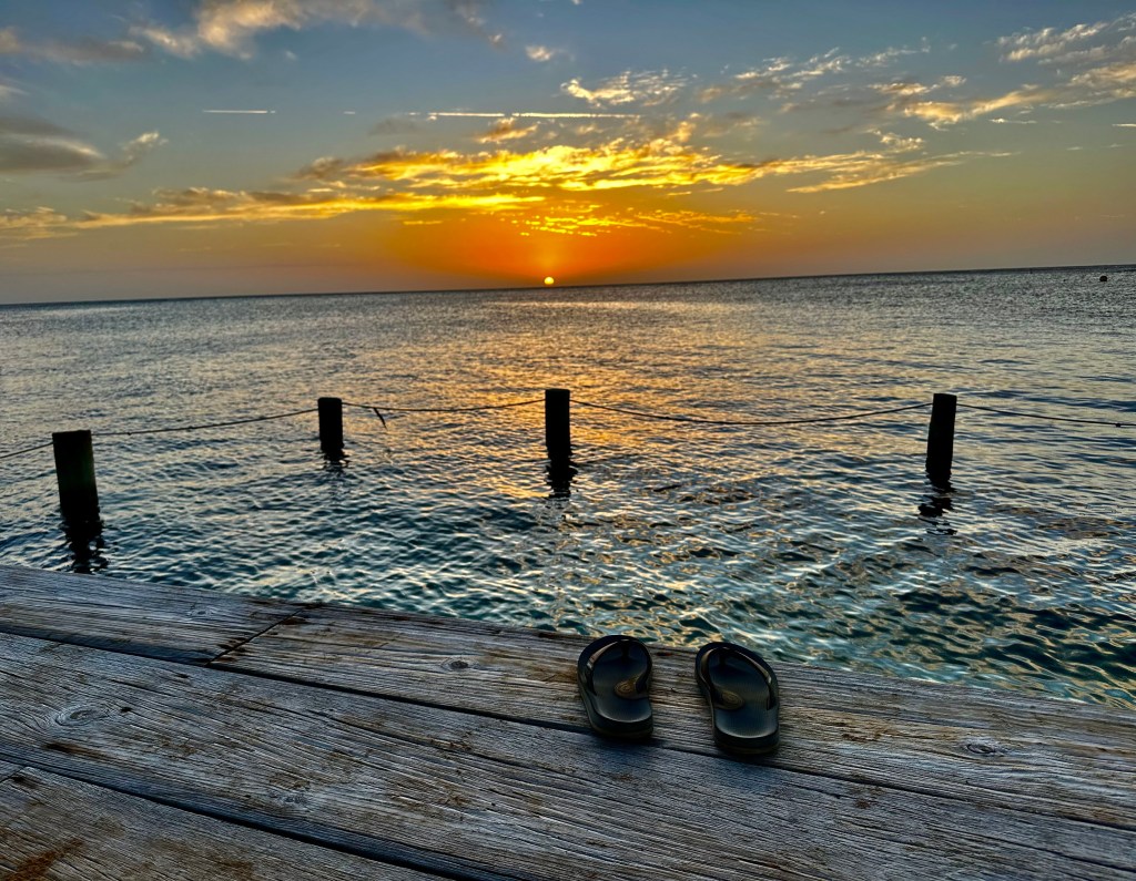
Good morning Bay Islands. Our photo of the day comes from Jim Butler in West End. Looks like someone took off their chanletas and jumped in for a swim. Remember the five with the most FB likes have a Super Bowl of photos of the day to win $50 in Carniceria Rosita meat and photo of the month. Most of us got rain this morning.
I’ll have to say the computers didn’t see our early morning rainfall coming.
Rain forecast: We still have a few clouds around so we’ll keep a chance of rain around until late morning. After that we should be dry. We have a little moisture coming overhead tomorrow morning, so I’ll give us a 30 percent chance of rain tomorrow morning, but other than that we should be dry through the end of the week.
Wind and wave forecast: I don’t have to tell you that we’ve been windy. We will continue to have east winds 20-25 mph during the day and 25-30 mph gustin to 35 mph overnight. Waves will be 5-6 feet during the day and 6-7 feet overnight. Wave directions are still slightly from the northeast, giving the north side less protection. They should start moving a little more due east, meaning slightly more protection on the north side for the end of the week.
Extended forecast: Winds should get a bit calmer this weekend as a norther approaches. This norther should arrive Sunday night into Monday. The big story with this norther is that it looks like it might bring gustier north winds especially for Monday and cooler temperatures Monday and Tuesday. Rainfall forecasts are mostly in the 1-2 inch range, but that can change.

Low tides are 2:30 p.m. and 2:30 a.m. Have a great Wednesday!
