Good morning Bay Islands. I did a Facebook Live for the forecast today. I apologize for the poor graphics. We’re having a power outage on Jonesville Point and I had to use a backup computer.
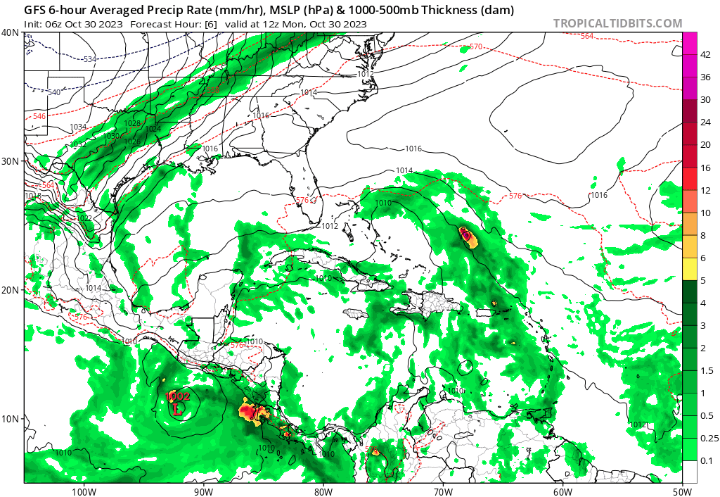
This is the GFS computer prediction from now until Tuesday. You will notice it shows the storm becoming a category 2 or 3 hurricane and hitting the Mosquito Coast of Nicaragua, but also bringing a wave of rain over us late in the weekend. This is the strongest of the models, but most of them show something going into Nicaragua this weekend.
We will have nice weather today. A small chance of rain tomorrow. A 60 percent chance of rain on Wednesday and heavy rain on Thursday, Friday, and probably Saturday and Sunday. How much rain we get this weekend depends on how strong our tropical storm gets and where it hits.
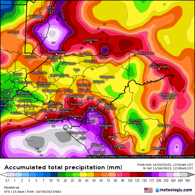
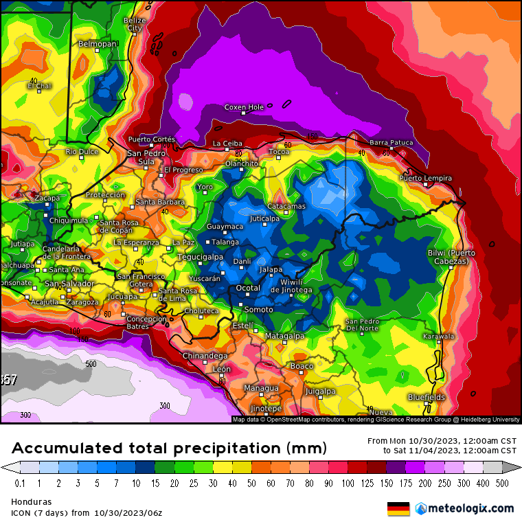
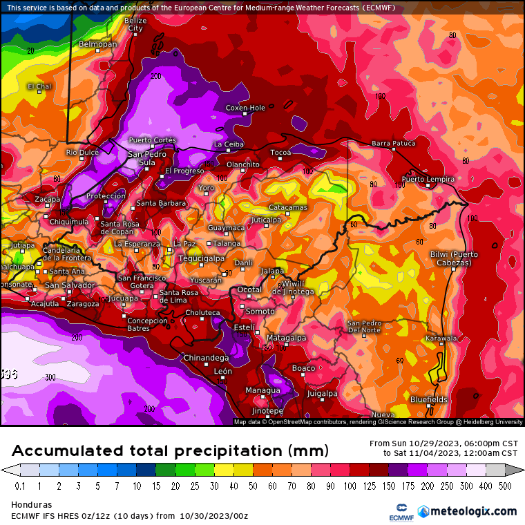
These are the rainfall models through midnight Friday night/Saturday morning. 25 mm = 1 inch. This forecast is for 4-8 inches Wednesday through Friday. This is just the norther, not the tropical storm. If we get a tropical storm/hurricane hitting the Mosquito Coast we will get further rain this weekend and into Monday, perhaps double these amouts.
If you live down a long dirt road, you may want to stock up today and tomorrow and perhaps Wednesday (though there’s a good chance of rain Wednesday) before the heaviest rains hit Thursday and Friday. Also be watchful if you have an unsupported hill near your home. I expect landslides to be a problem. We’ll keep updating through the day. Take care!
