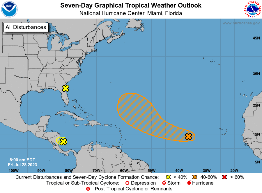
Good morning Bay Islands. The National Hurricane Center has given us a yellow x for a potential tropical system off the coast of Nicaragua. This is the system we will be dealing with today. It is possible it will form into a tropical storm after it crosses into the Pacific. That won’t be our problem, but dealing with showers and thunderstorms today will.
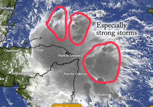
The center of the storm will be south of us, but there are significant clouds and rain to our east. In the satellite you can see a few stronger storms within the main system. Those have the darker gray clouds that I’ve circled. We will be cloudy all day. There will be periods without rain, but also some heavy rain and thunderstorms, especially this afternoon and evening.
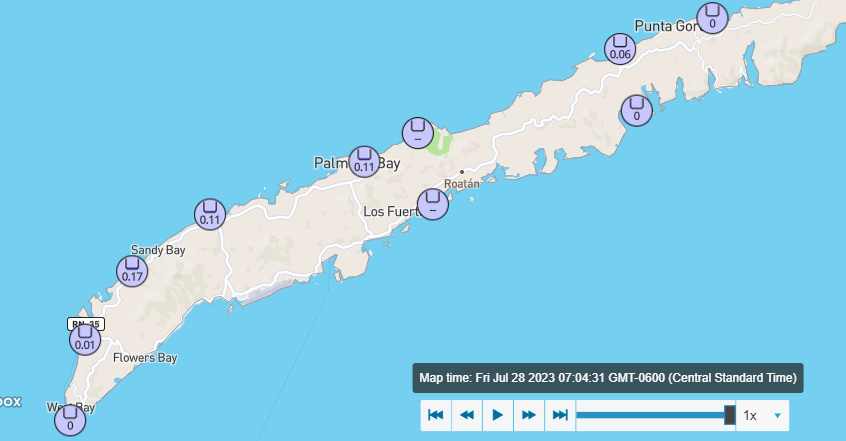
Some rain has already come in advance of our storm. Many locations, especially mid-island, picked up about a tenth of an inch. All of us should see more than this today.
Rain may last into early tomorrow morning, but tomorrow is beginning to look a little better, with a lower chance of rain during the middle of the day and afternoon, but windy, with east winds 17-25 mph and seas 3-4 feet.
Starting Sunday we will have about a 30 percent chance of seeing a scattered shower or thunderstorm each day, with east winds around 12-17 mph and seas around 3 feet. Low tide is 11:20 p.m. Have a great Friday and stay safe!
