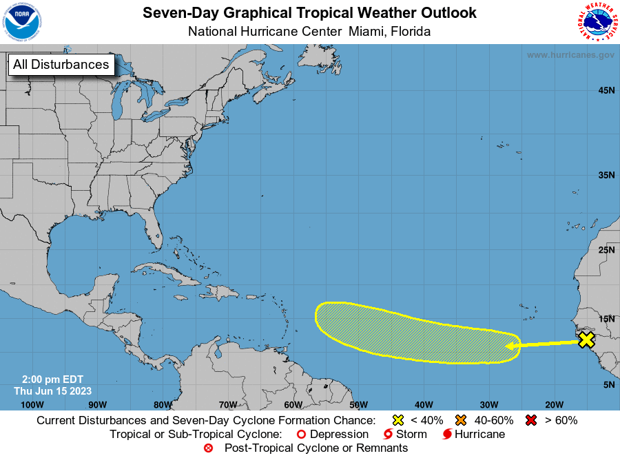
The National Hurricane Center has some storms coming off the west coast of Africa with a 20 percent chance of tropical development over 7 days. Some computers are developing this, but it is more of a threat to the Eastern Caribbean and no threat to us.

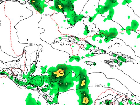
The second map is the GFS forecast for midnight Monday night. It has the tropical wave that we’ve been watching for days perhaps getting close to a low-level tropical storm, but it also forecasts it to turn sharply north and away from us.

The third map is the Euro prediction for noon Tuesday. It has a much weaker storm, but it does bring the storm west instead of north. This would be good for us because it gives us a better chance of rain Tuesday through Thursday. We’ll keep an eye on it.